


.png)


.png)
.png)


.png)


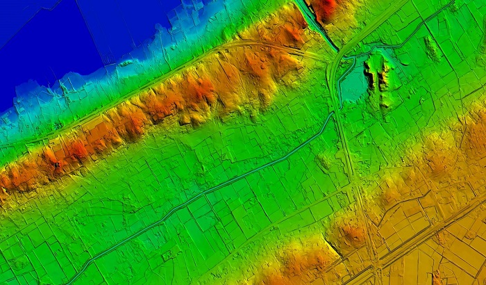
Topographic Mapping
The high-resolution elevation data from 3D LiDAR is very valuable for topographic mapping. Specifically in complex environments, traditional approaches typically fail to capture the minor nuances of the ground but 3D LiDAR makes it possible to create extremely specific and exhaustive topographic maps by measuring surface features and ground elevation.
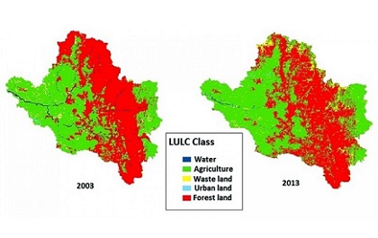
Urban Planning
3D LiDAR captures vegetation, constructions, and infrastructure with remarkably high precision, which helps the creation of in-depth urban models because understanding the vertical dimension in urban planning is critical sometimes. This facilitates the visualization and analysis of urban environment spatial layout by city planners, leading to better-informed decision-making.
Forestry and Environmental Monitoring
An important part of environmental monitoring is assessing the health and structure of the vegetation. 3D LiDAR shines when it comes to collecting exact data on forests, such as tree height, canopy structure, and ground coverPlanning conservation efforts and evaluating biodiversity benefits from environmental data.
Infrastructure Supervision
Three-dimensional LiDAR technology is quite useful for the assessment and maintenance of vital infrastructure, like electricity lines and bridges. Engineers can calculate the structural integrity of infrastructure assets and more efficiently schedule upkeep tasks by creating intricate three-dimensional models.

Integration with Artificial Intelligence (AI)
More developments in GIS are expected as an outcome of the partnership between 3D LiDAR and AI. LiDAR points can be automatically classified by machine learning algorithms, increasing the speed and accuracy of data processing. Quicker analysis and the extraction of more complex data from LiDAR datasets are made possible by this connection.
Improved Sensing Technology
Future sensor technology development should lead to LiDAR systems that are lighter, more reasonably priced, and more compact. Thanks to these developments, 3D LiDAR will be more broadly available for consumer electronics and smaller-scale projects, among other uses.
Real-time Data Processing
A mounting number of sectors are requiring instantaneous data processing. Future advancements in 3D LiDAR technology might concentrate on accelerating the gathering, processing, and supply of data for analysis. This will be especially helpful for applications like emergency response and driverless cars.