Satellite-Based Solar Panel Detection Using Machine Learning
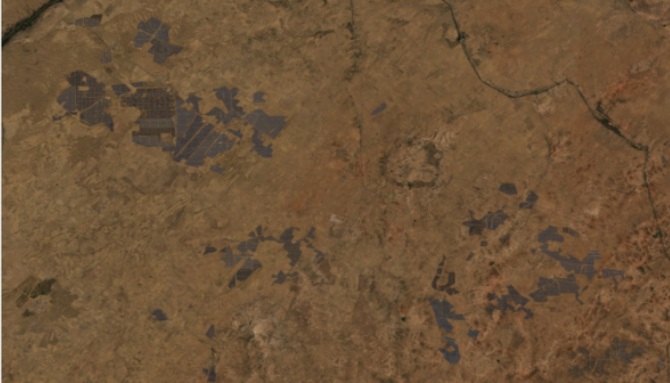
Satellite-Based Solar Panel Detection Using Machine Learning Bhadla Solar Park, Rajasthan, India True Color Composite (TCC) Figure 1: Bhadla Solar […]
Satellite-Based Solar Panel Detection Using Machine Learning Read Post »
Case Studies