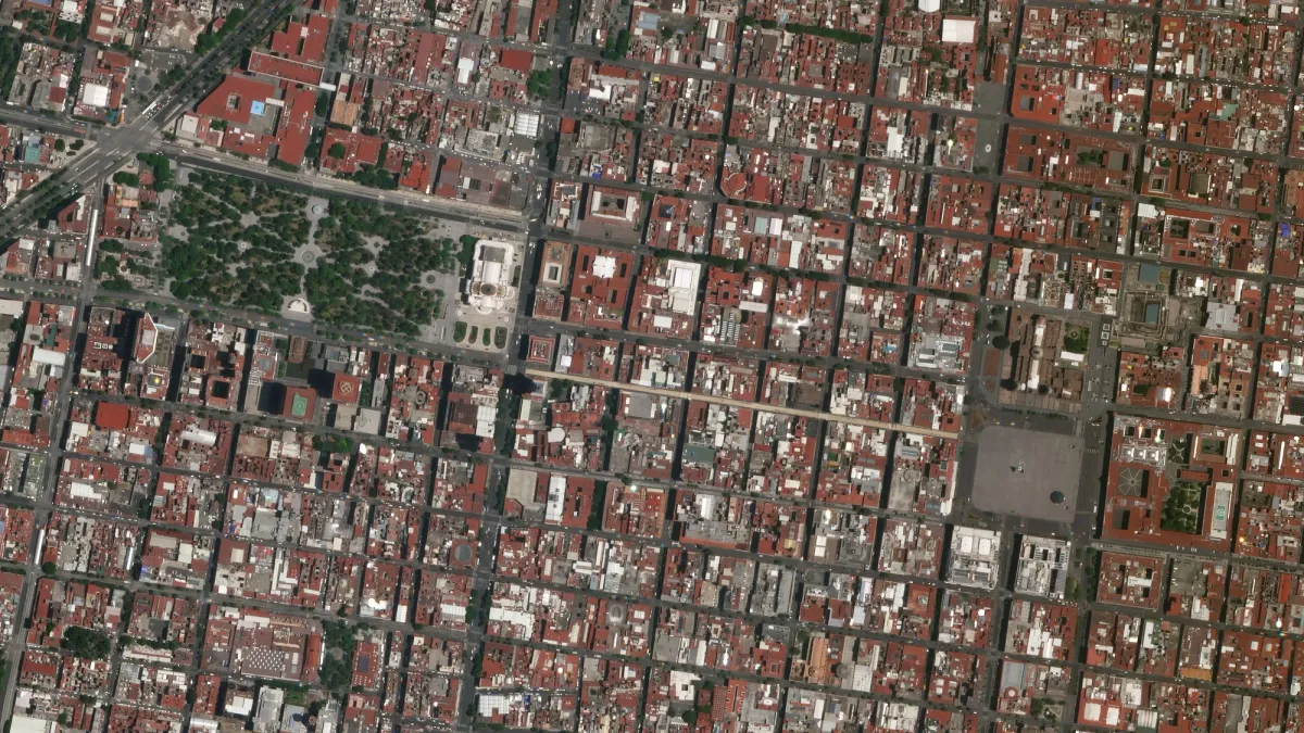
High-resolution satellite imagery and geospatial intelligence
Delivering trusted Earth observation and remote sensing insights worldwide
Trusted Partners
Tailored Design
Partnered with World’s Leading Satellite Operators 🌐
Tailored Design
Partnered with World’s Leading Satellite Operators 🌐
Tailored Design
Partnered with World’s Leading Satellite Operators 🌐
Tailored Design
Partnered with World’s Leading Satellite Operators 🌐


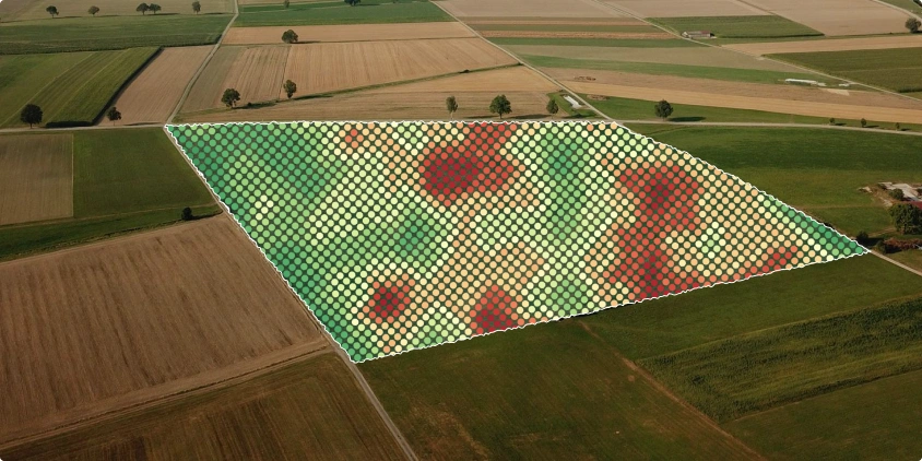
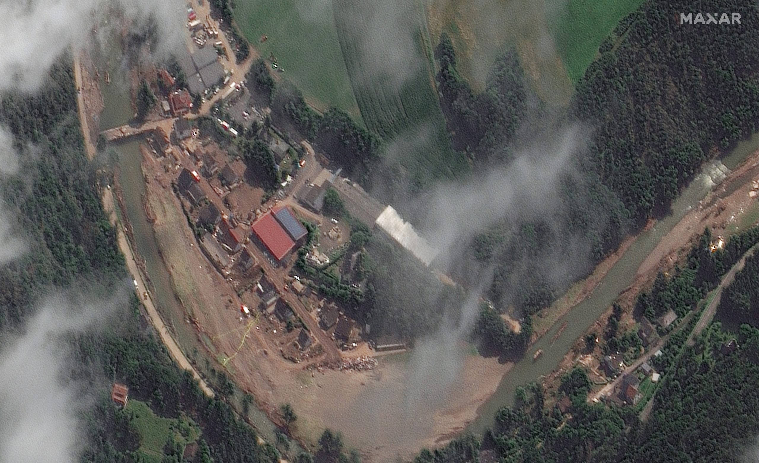
Nashik, India
This high-resolution 30cm satellite image of agricultural fields in Nashik highlights fine field boundaries, crop patterns, and irrigation structures with exceptional clarity. Such detail supports precision farming, crop monitoring, and smarter agricultural planning, enabling data-driven decisions at the ground level.

Our Partner's Satellites
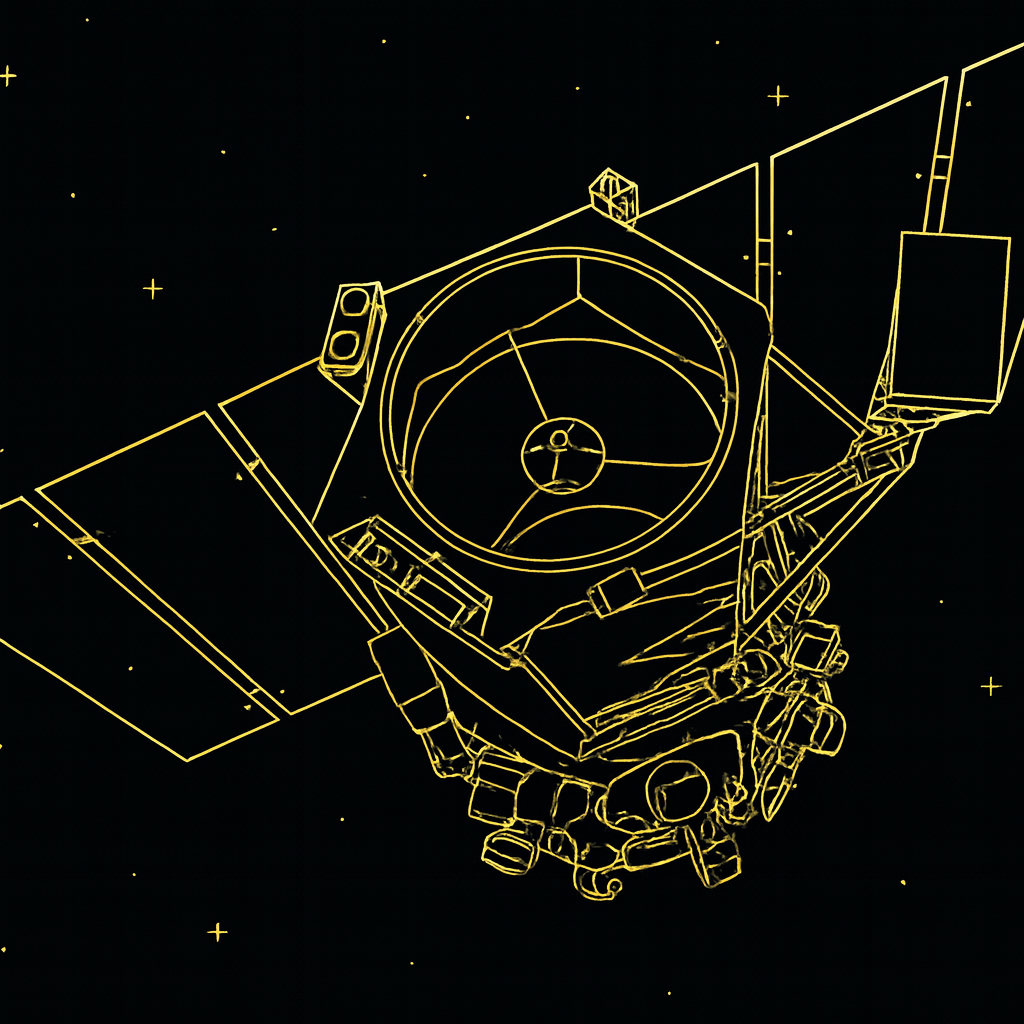
Vantor Satellites
VANTOR delivers ultra high-resolution satellite imagery for precision mapping, smart cities, and infrastructure monitoring with unmatched clarity.

Synspective SAR Satellites
SYNSPECTIVE offers cutting-edge SAR satellite imagery for all-weather Earth observation, disaster response, and infrastructure analytics.

Axelspace GRUS Satellites
AXCELSPACE provides satellite imagery for agriculture, enabling smart farming, crop health monitoring, and yield optimization across seasons.

Wyvern Hyperspectral Satellite
WYVERN delivers hyperspectral satellite imagery for environmental monitoring, mineral detection, and advanced precision farming applications.
DATA SERVICES
Superior quality multi-resolution satellite and aerial imagery with global coverage, including high-resolution optical, SAR, and multispectral data, designed to support a wide range of Earth observation and geospatial applications.
PRODUCTION SERVICES
Accurate conversion of high-resolution satellite and aerial imagery into customized, georeferenced, and orthorectified products, including DEM/DSM, GIS-ready datasets, and analysis-ready outputs.
VALUE ADDED PRODUCTS
Advanced geospatial analytics and value-added services such as change detection, time-series analysis, and industry-specific insights that enhance data usability and decision-making.
END-TO-END GEOSPATIAL SOLUTIONS
From data acquisition to analytics and delivery, Satpalda provides end-to-end geospatial and remote sensing solutions tailored to global enterprise and government requirements.
Industries We Serve
Agriculture
Creating visually stunning and user-friendly websites is at the heart of what I do.
Defense
I bring your designs to life with clean, efficient, and high-performing code.
Mining
Building a strong brand identity is essential for standing out in a crowded market.

Defense & Security
Urban Planning & Smart Cities
Agriculture
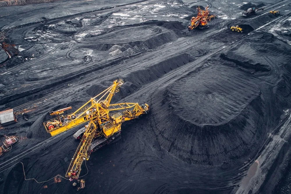
Mining & Energy
Environment & Disaster Management
Leading provider of satellite imagery and geospatial services
SATPALDA is a leading provider of geospatial services. With over 20 years of experience in the industry, we specialize in using digital maps and location analytics to bring your data to life.
Established in 2002, we have a proven track record of successfully completing a wide range of photogrammetric and remote sensing projects for a variety of sectors. We are committed to providing end-to-end innovative geospatial solutions that enable businesses to achieve a competitive advantage.
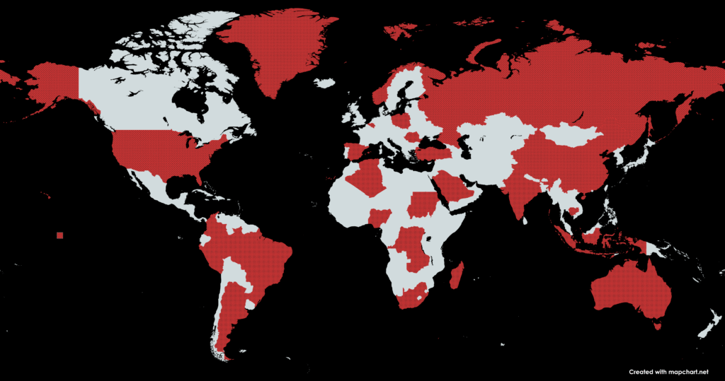
Satpalda operates worldwide, serving 55+ countries with local and global expertise
Years of Experience
Decades of experience in delivering exceptional projects.
Countries Served
Decades of expereince in deleivring exceptional projects.
Projects Completed
I build long-term partnerships through proven results.
My Success Stories
lorem
loremmmmmmmmmmmmmmm m mm m m m m m m m m m m

Wilson delivered a stunning website that truly reflects our brand's essence. He continuously involves in feedbacks. Highly recommend his expertise!"
