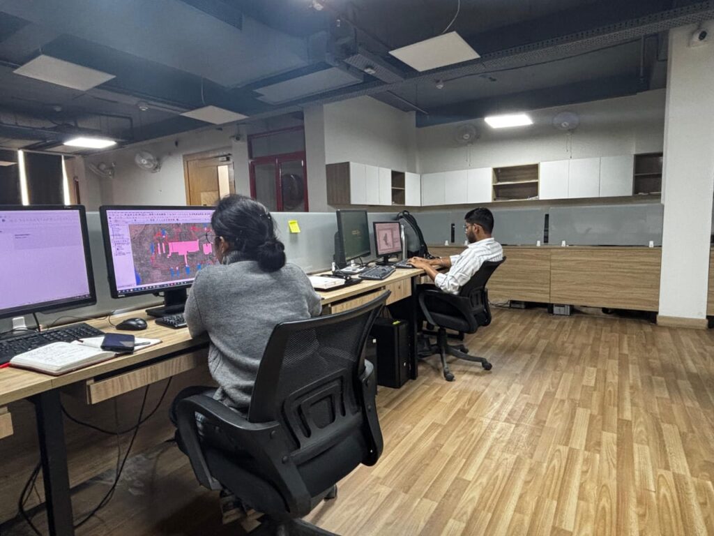
Environmental and Social Oversight
Satellite-Based Monitoring for Environmental and Social Oversight
Facilitated remote monitoring through the acquisition and integration of high-resolution satellite imagery. The project enabled efficient supervision, progress evaluation, and environmental-social due diligence, ensuring data-driven oversight and accountability.
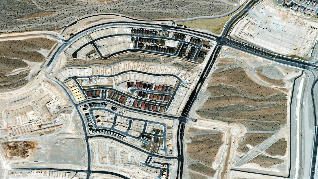
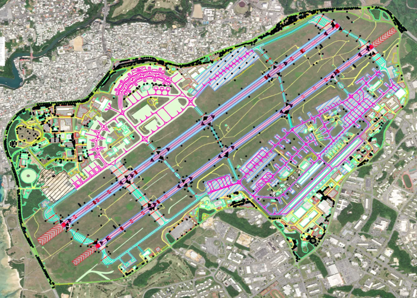
Aerodrome Mapping
High-Precision Aerodrome Mapping Database Production
Delivered high-precision Aerodrome Mapping Database datasets derived from high-resolution satellite imagery. The project ensured compliance with international aeronautical standards, providing accurate, reliable data to enhance simulation, planning, and operational safety.
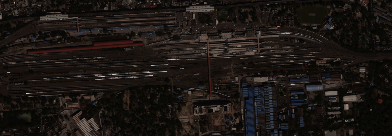
Railway Corridor Planning
Geospatial Support for Railway Corridor Planning
Processed high-resolution satellite imagery to support alignment planning for a major railway corridor. The project delivered 30 cm orthorectified imagery, a 1 m digital terrain model (DTM), and vector datasets delineating rivers, urban and rural areas, forests, and cultivation zones. These geospatial products provided accurate topographic and land-cover insights, enabling efficient route design and engineering evaluation.