Category: Uncategorized

  • Home
  • Category: Uncategorized

Significance of Land Use / Land Cover (LULC) Maps

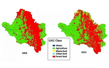
Introduction Land Use Land Cover (LULC) Maps The terms land use and land cover are often used interchangeably, but each term has its own unique meaning. Land cover refers to the surface cover on the ground like vegetation, urban infrastructure, water, bare soil etc. Identification of land cover establishes the baseline information for activities like… Continue reading Significance of Land Use / Land Cover (LULC) Maps

Planimetric Mapping

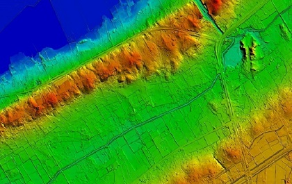
The ‘smart’ revolution. We are living in a generation where most common and important word is ‘smart’. From smart people to smart phones and from smart maps to smart cities everything is getting smarter. Geospatial technology is progressing by leaps and bounds towards this smartness. The technology itself is getting smarter and contributing in other… Continue reading Planimetric Mapping

GIS and Solid Waste Management

I don’t want to protect the environment. I want to create a world where the environment doesn’t need protection.    -Anonymous Solid Waste Management – Concept Nowadays it is hard to find areas of human activity and development that have not harmed or affected the environment. Commercial, physical and social activities tend to produce solid… Continue reading GIS and Solid Waste Management

GIS In Civil Engineering Applications

The field of civil engineering has come a long way. One type of technology that aids modern civil engineers is geographic information systems (GIS). GIS can be used by engineers to collect and analyze geographic data. The data can then be displayed in layered visualizations using digital geographic maps. GIS (geographic information system) software analyses,… Continue reading GIS In Civil Engineering Applications

Spatial tools: Making GIS Analyst lives easier

Canadian researchers made the initial attempts at geographical data analysis in the 1960s. The systematization of the nation's natural resources was the first goal for GIS applications. Since then, spatial analysis in GIS has become more widespread. It is challenging to think of a single business owner or super industry that does not gain in… Continue reading Spatial tools: Making GIS Analyst lives easier

Transformation of Health Industry with GIS

There is no denying that technology has had a major influence on the medical industry. Improvements range from those that increase many patients' comfort to those that lengthen their lives. Geographic information systems, or GIS, are among the most intriguing new technologies that have entered the market. They are designed to more effectively address the… Continue reading Transformation of Health Industry with GIS

Aerospace Industry As An Application Of GIS

One of the areas where GIS is most beneficial is aviation. The management of planes at the airport and other duties employ geographic systems. Aviation GIS must be extremely precise, effective, and dependable. For the airports and planes in general to perform smoothly, it must also operate on a real-time basis. Diverse operations can be… Continue reading Aerospace Industry As An Application Of GIS