GIS Mapping

GIS is fundamentally a system for gathering, storing, processing, analyzing and presenting geographic or spatial data where the key portions of GIS are data, software, hardware, and qualified personnel. Incorporating various data sources is made possible by GIS technology which also makes it easier to create interactive maps and support well-informed decision-making. Geographic Information Systems (GIS) which provide a potent way to analyze and visualize geographical data have grown to be essential tools in many different industries. GIS uses cutting-edge technology to collect, store, process, and display geographic data offering a thorough foundation for making decisions. This article examines many facets of Geographic Information Systems (GIS) including its uses for mapping capabilities and the changing field of GIS 3D modeling.

GIS mapping is the process of capturing, managing and displaying geographical information by combining spatial data, technology and analytical techniques and gives users a thorough understanding of a given area by combining many information layers empowering them to make defensible decisions based on spatial linkages and patterns.

Important Elements of GIS Mapping:

Spatial Data:

Information with a geographic or location-based component is a major component of spatial data which is used extensively in GIS mapping. Street addresses, demographic information on the populace and topographic maps can all be included in this data set.

Data collection:

GIS experts use a variety of techniques including surveys, remote sensing and GPS (Global Positioning System) technologies and the GIS system then incorporates this data, creating a rich resource for study.

Data storing:

A crucial component of GIS mapping is the storing of enormous volumes of geographical data where databases are designed to effectively store and retrieve data making it possible to access the datasets needed for research quickly.

Data Analysis:

Advanced spatial analysis is possible with GIS mapping allowing users to detect patterns, trends and linkages within the data. This research is critical for decision-making in sectors ranging from urban planning to environmental management to public health.

Visualization:

One of GIS mapping’s primary strengths is its ability to convey complicated data in a visually understandable manner. GIS promotes efficient communication of spatial patterns using maps, charts and graphs making it a useful tool for expressing information to varied audiences.

Applications of GIS Mapping:

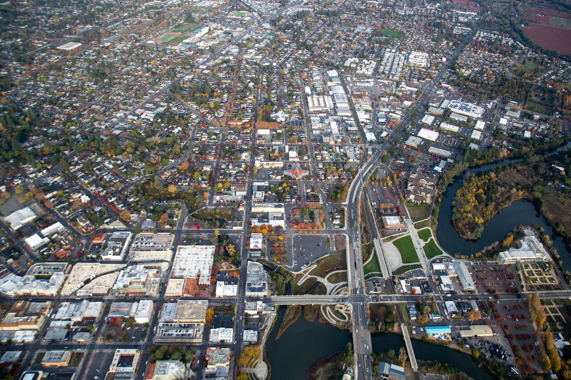
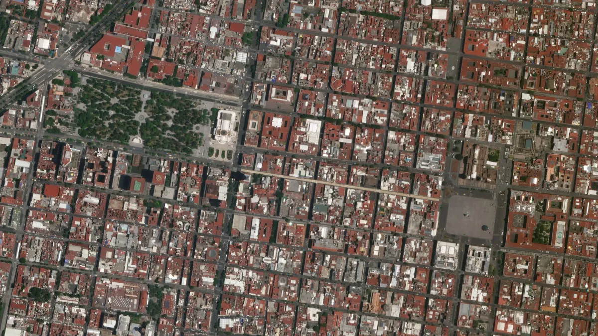
GIS mapping plays an important part in urban planning by analyzing population distribution, traffic patterns and land use. This data helps municipal planners make educated decisions about infrastructure development and resource allocation.

Environmental Management:

Geographic information systems (GIS) are useful in environmental monitoring and conservation initiatives and they enable scientists to monitor ecological changes, examine deforestation patterns and plan for sustainable land use.

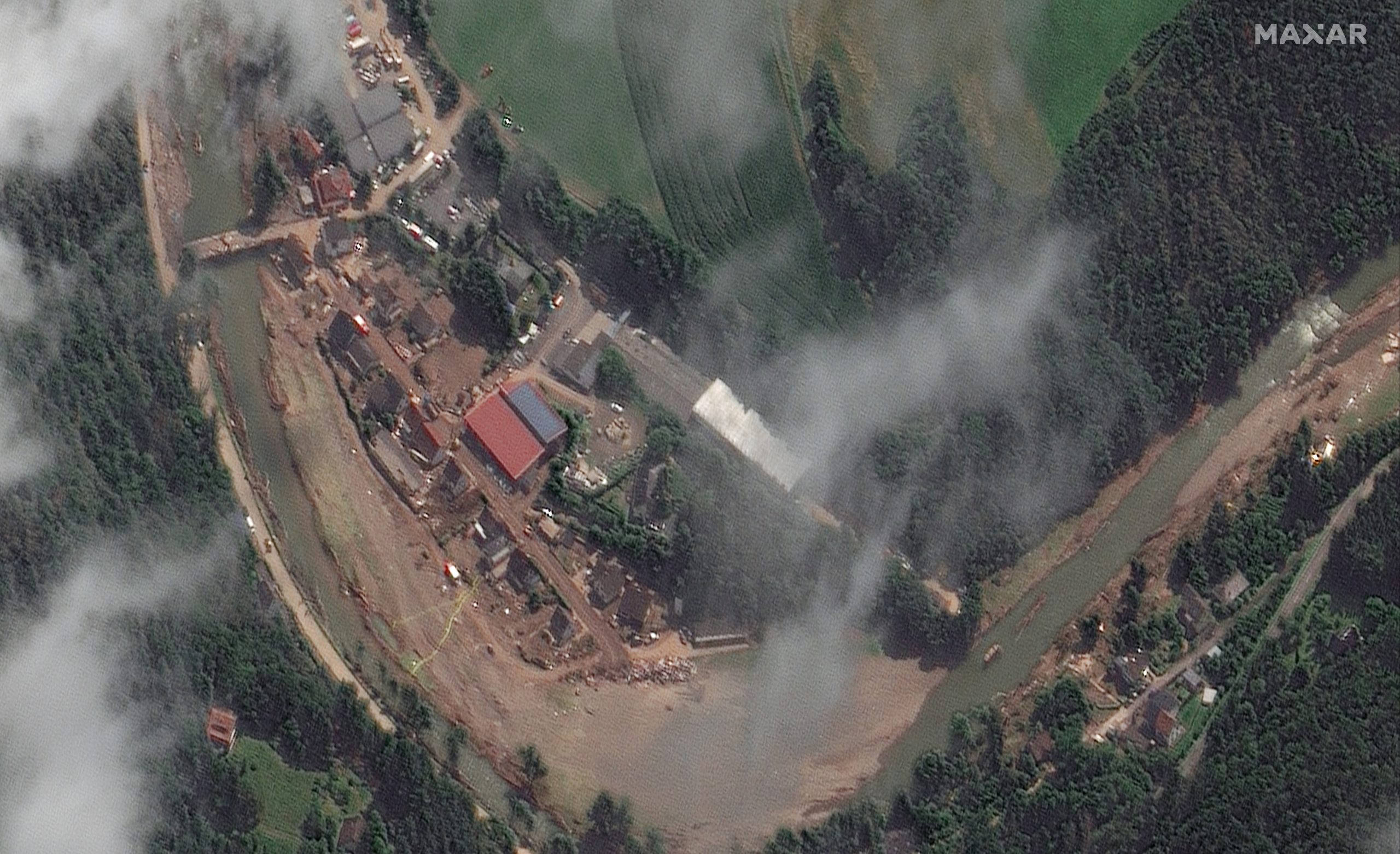
GIS mapping becomes a lifeline for first responders during natural disasters or crises where it aids in the charting of impacted regions, the coordination of rescue activities and the assessment of the disaster’s influence on the terrain.

Types of GIS Mapping

Topological Mapping:

In GIS, topological mapping focuses on geographic elements’ spatial connections and connectedness and stresses the preservation of item relative placement regardless of scale or location. This form of mapping is critical for network analysis such as determining the most effective route in a transportation network or examining utility network connections.

Thematic Mapping:

Thematic mapping is the process of reflecting certain themes or qualities within a geographical region. This form of mapping is used in fields such as demography, environmental science and social sciences where population density maps, land use maps, and climatic distribution maps are a few examples. Thematic maps aid in the visualization of patterns and trends, allowing decision-makers to get important insights.

Raster Mapping:

Raster mapping represents spatial data using a grid-based method. As each grid cell provides information about a single place, it is excellent for continuous data such as satellite imaging, elevation models and temperature distributions. This type of mapping is required for activities such as topography analysis, land cover categorization and remote sensing.

Vector Mapping:

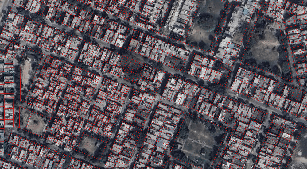
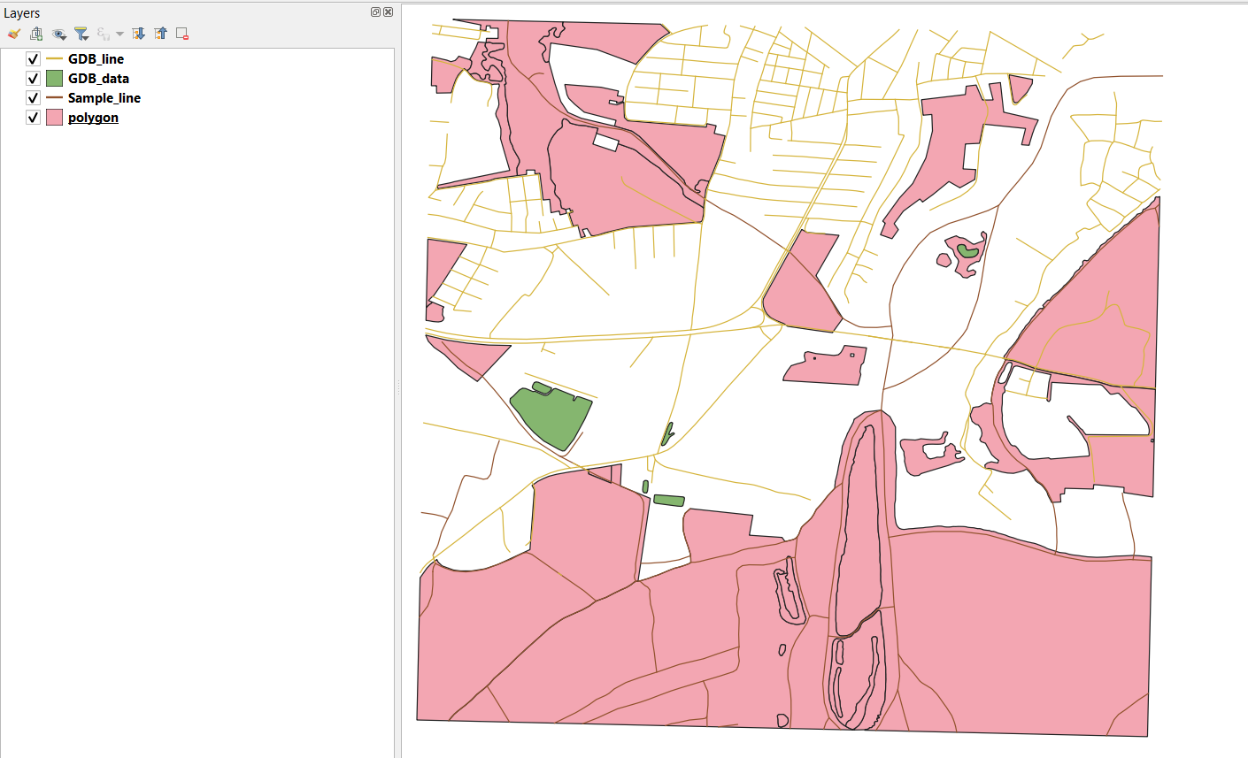
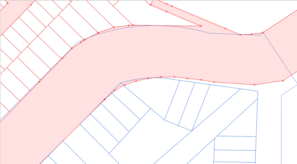
Vector mapping uses points, lines and polygons to depict geographic characteristics. This sort of mapping is quite adaptable and it is frequently used in applications such as geographic feature editing, urban planning and spatial analysis where it is particularly good at portraying discrete elements like highways, rivers and administrative borders.

Web Mapping:

Web mapping has grown in popularity in the age of digital connection and entails the construction and distribution of maps via the internet allowing people to view and interact with geographic data via web browsers. Web mapping apps like Google Maps and OpenStreetMap have become essential for navigation, location-based services and collaborative mapping activities.

Cartographic Mapping:

Cartographic mapping is concerned with the construction and design of visually appealing and useful maps and entails selecting proper symbols, colors and layout strategies to express spatial information effectively. Cartographic maps are essential for transmitting complicated data in a comprehensible fashion and assisting decision-making processes.

3D Mapping:

GIS technological advancements have aided the creation of 3D mapping which allows the depiction of geographic features in three-dimensional space. This form of mapping is useful in urban planning, disaster simulation and training exercises improving the representation of landscapes, buildings and other structures giving users a more immersive knowledge of their surroundings.

GIS 3D Modelling

GIS 3D modeling entails representing geographic data in three dimensions allowing for a more accurate depiction of landscapes, infrastructure and environmental elements. Advanced algorithms and spatial analytic techniques are used in this process to extrude 2D data into the vertical dimension resulting in a detailed visual depiction of the actual environment.

Some Key Components

Digital Elevation Models (DEMs):

DEMs are essential in GIS 3D modeling because they provide realistic representations of surface elevation fluctuations and these models serve as the foundation for producing topographic features allowing for accurate landscape depiction.

3D Vector Data:

Including 3D vector data such as points, lines and polygons provides dimension to GIS models where this component provides for the realistic portrayal of complex elements such as buildings, infrastructure, and vegetation.

LiDAR:

Light Detection and Ranging (LiDAR) technology is useful in obtaining extremely detailed 3D data and when it is incorporated into GIS, it improves the accuracy of terrain modeling by giving a high-resolution representation of the Earth’s surface.

Methodologies in GIS 3D Modelling

Extrusion:

This approach extends 2D features along a defined vertical axis to create 3D objects where buildings, bridges and other infrastructure features are frequently visualized using extrusion.

TIN (Triangulated Irregular Network):

TIN is used for landscape modeling by linking irregularly spaced data points to create a surface and offers a more realistic portrayal of the Earth’s surface which is especially important in rough terrain.

Volumetric modeling is used in scenarios such as mining and excavation operations to calculate the amount of material existing in a particular location which aids in resource optimization and environmental impact reduction.

Applications of GIS

Urban Planning:

Geographic information systems (GIS) play an important role in urban planning by allowing the study of spatial data related to land use, infrastructure and demography. GIS is used by city planners to construct accurate maps, analyze the impact of proposed developments and optimize resource allocation for long-term city growth where it facilitates the visualization and modeling of situations, which improves the efficiency of urban development initiatives.

Environmental Management:

GIS plays an important role in environmental management and conservation initiatives and enables scientists and environmentalists to map and monitor ecosystems, track land cover changes and assess the impact of climate change. GIS aids in identifying sensitive regions, managing natural resources and planning for disaster response all of which contribute to environmental sustainability.

Agriculture:

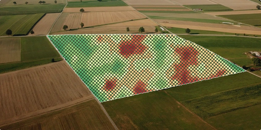
Precision agriculture makes use of GIS to improve crop management procedures where farmers study soil conditions, monitor crop health and optimize irrigation using geographical data. Precision planting, crop rotation management and assessing the influence of weather patterns on agricultural productivity are all aided by GIS and this method also assists in increasing yields while reducing resource use.

Logistics and Transportation:

In transportation and logistics, GIS is critical for route optimization, traffic control and infrastructure design and offers real-time vehicle tracking, traffic pattern analysis and effective transportation network planning. GIS aids in the reduction of traffic congestion, the improvement of safety and the general efficiency of transportation systems.

Healthcare:

GIS is used in the healthcare industry to map disease outbreaks, identify high-risk locations and build healthcare infrastructure and aid in the visualization of health data such as the spread of infectious illnesses or the availability of medical services. This geographical analysis assists in proactive health management and resource allocation where it is most required.

Management of Emergencies:

GIS is an important tool in emergency management for disaster preparation, response and recovery and permits the development of evacuation plans, the identification of susceptible locations and the coordination of emergency services. GIS aids in the real-time monitoring of natural catastrophes such as hurricanes, earthquakes and floods allowing for quick and informed decision-making.

Benefits of GIS

Spatial Analysis and Decision-Making:

Geographic Information Systems (GIS) provide professionals across sectors with the capacity to conduct advanced spatial studies and also allow users to discover patterns, correlations and trends that would otherwise be undetectable in traditional data sets by integrating layers of spatial information. This geographical analysis enables informed decision-making in a variety of contexts including urban planning and environmental management as well as commercial placement plans.

Precision in Mapping:

Accurate mapping is the foundation of GIS and it extends well beyond conventional cartography and enables the construction of precise, dynamic maps that contain in-depth information about geographical characteristics, demographic data and infrastructure. This level of mapping precision is crucial for disaster response, land-use planning and infrastructure construction among other things.

Environmental Monitoring and Conservation:

GIS is used by environmental scientists to monitor and assess changes in ecosystems, deforestation, climate trends and other factors where GIS technology assists in the identification of sensitive regions assisting in the development of conservation and sustainable resource management plans. The combination of satellite images and GIS technologies has transformed our ability to monitor the planet’s health.

Urban Development and Planning:

GIS is essential in urban planning because it provides a full perspective of land use, infrastructure and population density. GIS is used by city planners and politicians to optimize resource allocation, develop transit networks and build resilient urban ecosystems which helps to construct smart cities that are efficient, sustainable and livable.

Emergency Response and Crisis Management:

GIS becomes a lifeline for emergency personnel at times of crisis such as natural disasters or public health problems and the ability to map damaged regions, evacuation routes and resource allocation in real-time is critical for efficient and successful response actions where it allows many agencies to work together to respond to disasters in a timely and coordinated manner.

Location Analytics and Business Intelligence:

Businesses use GIS for location-based analytics, supply chain optimization and market analysis and it is used by retailers, for example to locate good locations for new stores based on demographic data, foot traffic and rival locations. This strategic application of GIS improves business decision-making processes.

GIS has become a transformational tool changing how we see and understand our surroundings and this technology continues to push the frontiers of spatial understanding, from the fundamental concepts of GIS mapping to the immersive experiences provided by GIS 3D modeling. GIS services are becoming more specialized and accessible and their applications across sectors are set to grow in a new era of data-driven decision-making and sustainable development. GIS issues are tackled with new solutions ensuring that this dynamic subject remains at the forefront of technical breakthroughs. Looking ahead, the combination of AI, cloud computing and new technologies promises to uncover even more possibilities cementing GIS as a vital tool for navigating the intricacies of the modern world.