The world’s most advanced Earth observation satellites
Unrivaled accuracy, agility and collection capacity
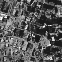
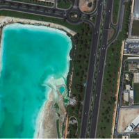
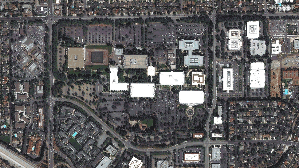
Our high-resolution constellation offers customers around the globe affordable access to the highest quality view of their world.
On Orbit
WorldView-1
Electro-optical
50 cm resolution
<5.0 m CE90
GeoEye-1
Electro-optical
41 cm resolutionl
<5.0 m CE90
WorldView-2
Electro-optical
46 cm resolution
<5.0 m CE90
WorldView-3
Electro-optical
31 cm resolution
<5.0 m CE90
Leading collection capacity
In addition to the more than one billion sq km of high-resolution optical imagery we collect each year, the Maxar constellation offers tremendous tasking capacity for customers.
Flexible tasking options allow customers to select the imagery they need and how they need it—online, offline, via mobile device or directly into GIS.
High resolution showing crisp detail Most spectral diversity commercially available Fastest 50 cm revisit times—intraday revisits High geolocational accuracy Large high-resolution swath width Most agile with rapid retargeting Greatest in-track stereo collection
Change over time
Millions of square kilometers of imagery are available from our retired satellites, serving as a digital time machine that allows customers to see change through an archive that goes back more than 20 years.