Remote Sensing Applications
Remote Sensing Applications
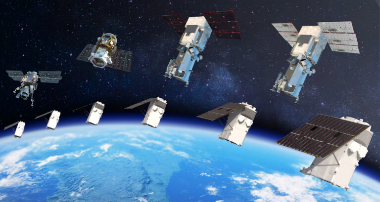
Our remote sensing applications deliver powerful insights using satellite-based earth observation data. Satpalda supports agricultural intelligence, change detection, environmental monitoring, and disaster assessment through advanced remote sensing workflows. By leveraging multi-sensor data—including optical, radar, and thermal imagery—we ensure consistent analysis across diverse conditions. These applications help stakeholders monitor land-use changes, assess environmental impacts, manage natural resources, and respond rapidly to disasters. Our remote sensing solutions are designed to support sustainability, risk mitigation, and long-term planning across agriculture, environment, infrastructure, and public sector initiatives.
Features / Capabilities
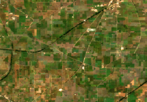
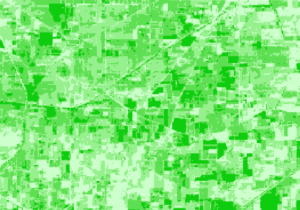
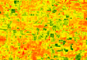
Satpalda provides agricultural insights using remote sensing and satellite imagery to support precision agriculture. Our solutions enable crop health monitoring, vegetation analysis, soil moisture assessment, and yield estimation. These insights help farmers, agribusinesses, and policymakers optimize inputs, reduce risks, and improve productivity. Satellite-based agricultural intelligence supports sustainable farming practices and data-driven decision-making across large agricultural landscapes.
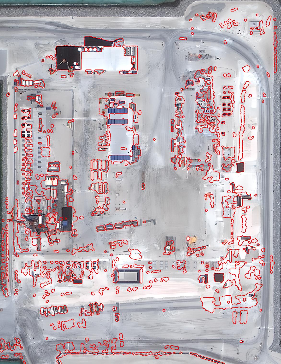
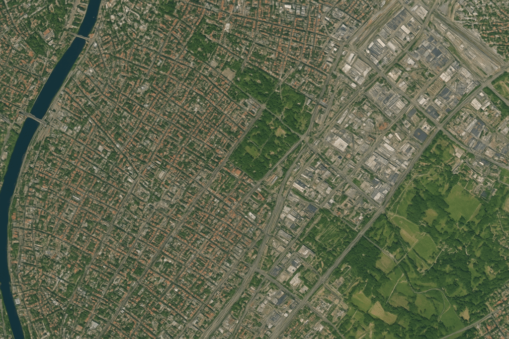
Our change detection solutions identify and analyze spatial changes over time using multi-temporal satellite imagery. Satpalda supports land-use change analysis, infrastructure growth monitoring, deforestation tracking, and urban expansion studies. Accurate change detection enables early identification of risks and trends, supporting compliance, planning, and policy decisions. This capability is essential for long-term monitoring and impact assessment across environmental and infrastructure projects.
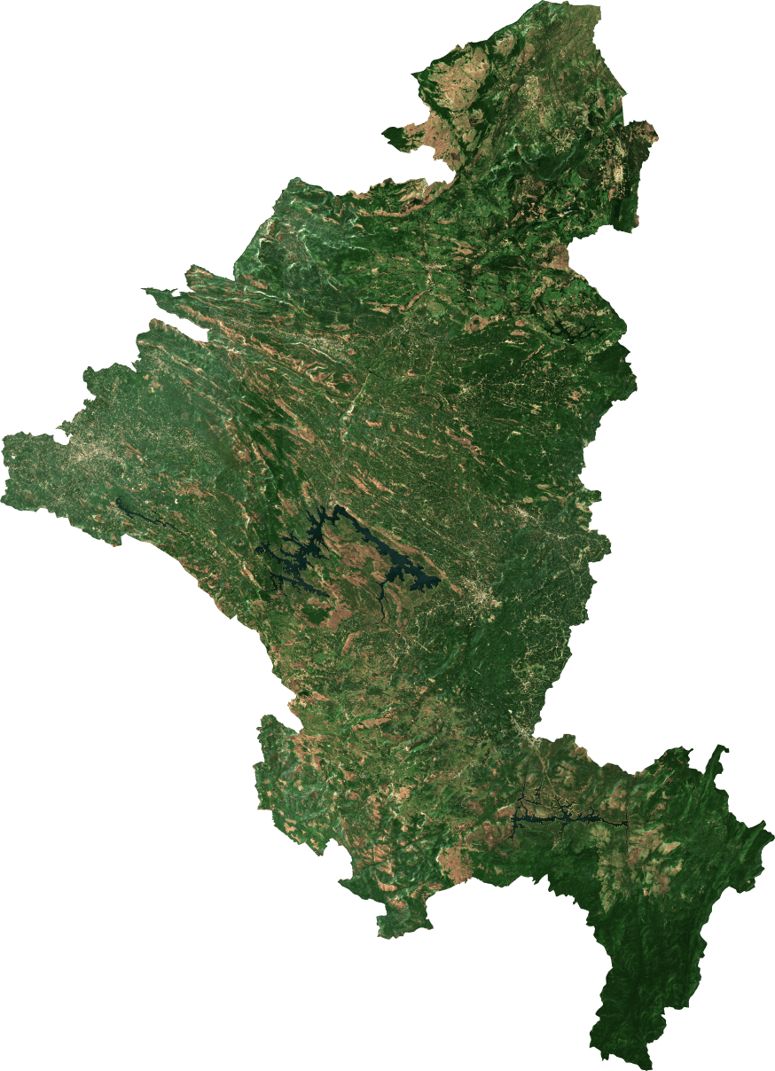

Satpalda delivers environmental monitoring solutions using remote sensing and geospatial analytics. We assess vegetation health, water resources, land degradation, and ecosystem changes to support sustainability initiatives. Continuous monitoring enables early detection of environmental risks and supports regulatory compliance. These insights help organizations and governments manage natural resources responsibly and plan long-term conservation strategies using reliable earth observation data.
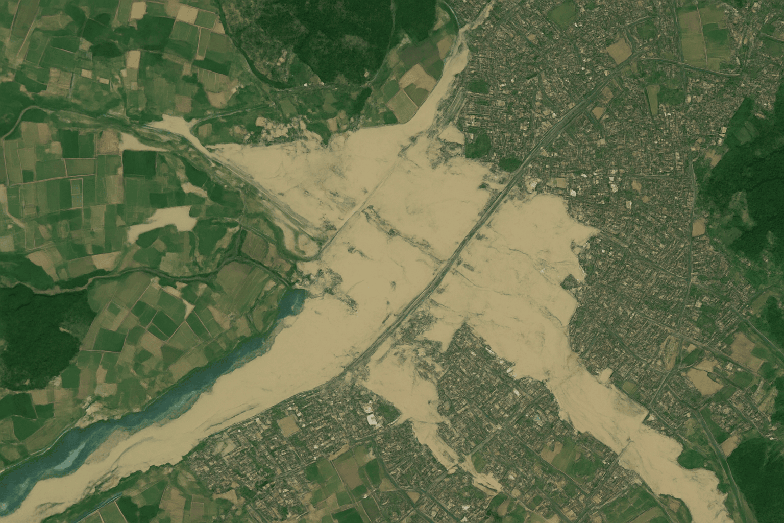

Our disaster assessment solutions provide rapid insights before and after disaster events using satellite imagery and geospatial analytics. Satpalda supports damage assessment, impact mapping, and emergency response planning for floods, earthquakes, cyclones, and other hazards. Timely disaster intelligence enables faster response, improved coordination, and effective recovery planning. These solutions reduce uncertainty during critical situations and support informed decision-making under pressure.
Satpalda leverages multi-sensor processing by integrating optical, radar, and thermal satellite data. This approach ensures reliable analysis even under challenging conditions such as cloud cover or low visibility. Multi-sensor data fusion improves accuracy, consistency, and analytical depth. These capabilities support advanced remote sensing applications across agriculture, infrastructure monitoring, environmental assessment, and disaster management.
Explore the Applications
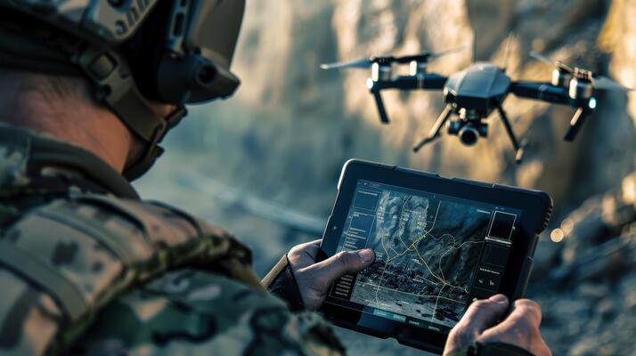
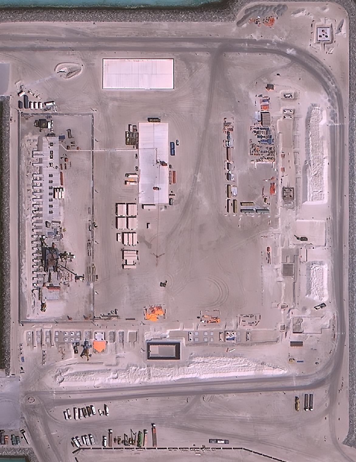
Defense & Security
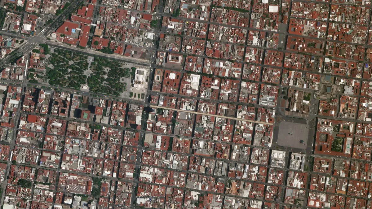
Urban Planning & Smart Cities
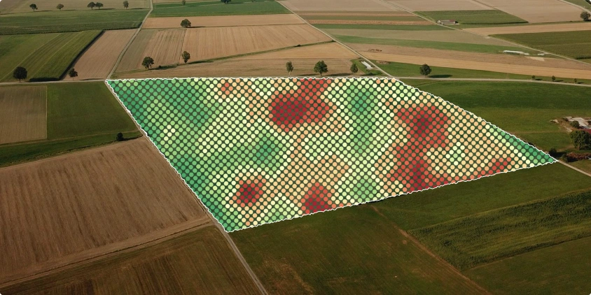
Agriculture
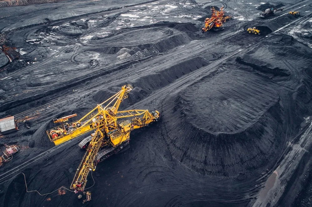
Mining & Energy
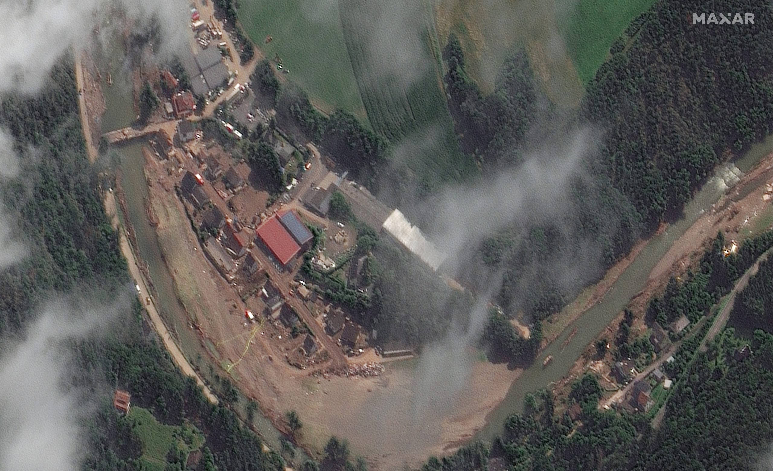
Environment & Disaster Management
Ready to Get Started?
Corporate Office:
1006, Kanchenjunga Building, 18, Barakhamba Road, New Delhi-110001, India
Branch Office:
CP 2154, Sector 16A, Vasundhara, Ghaziabad- 201012, Uttar Pradesh, India
Contact
Error: Contact form not found.