Sample Data

Full-resolution free Sample Data products are available to download and view.

We have a collection of Free Sample Data of various product types and geographies.

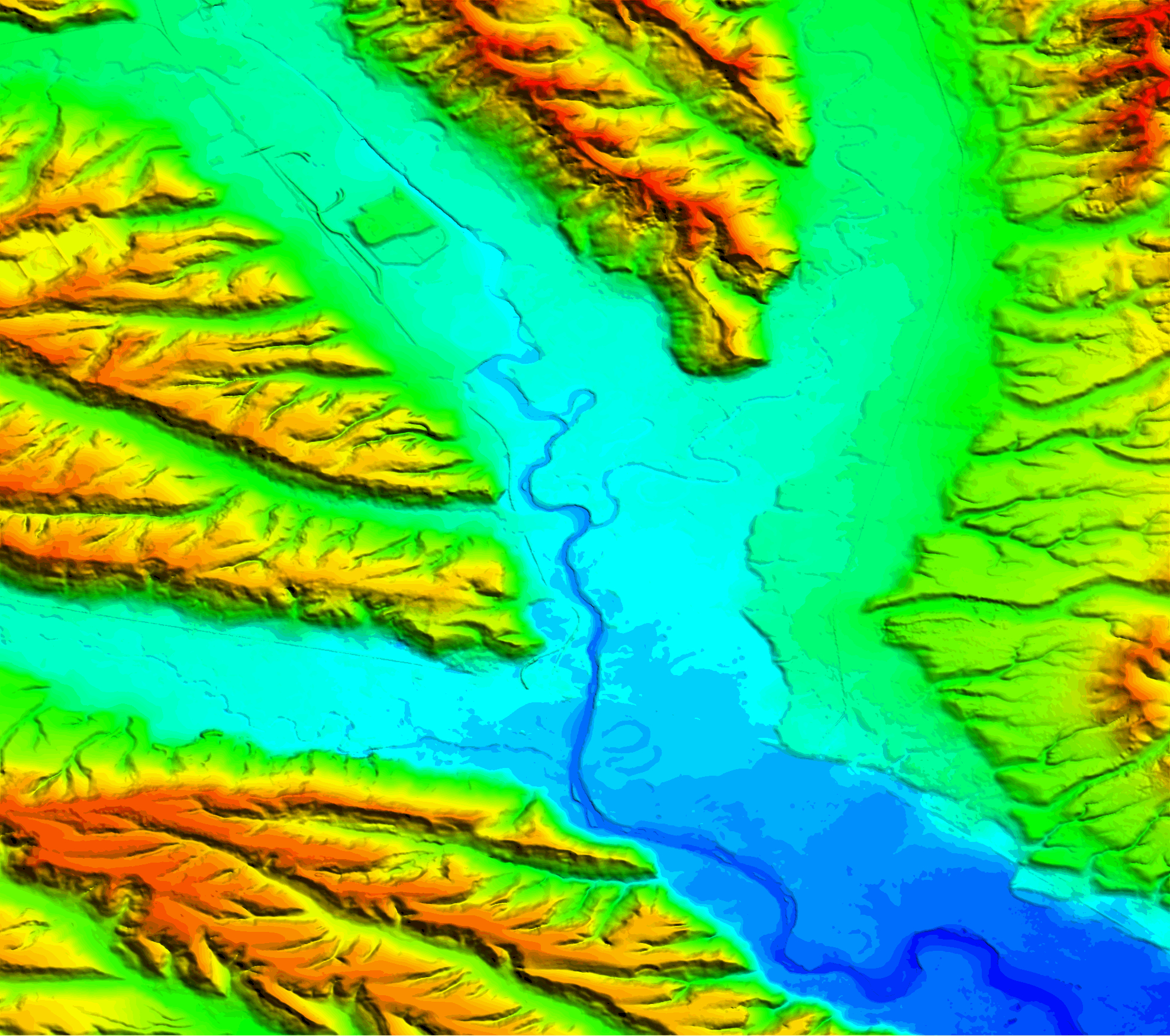
AIRBUS WorldDEM™

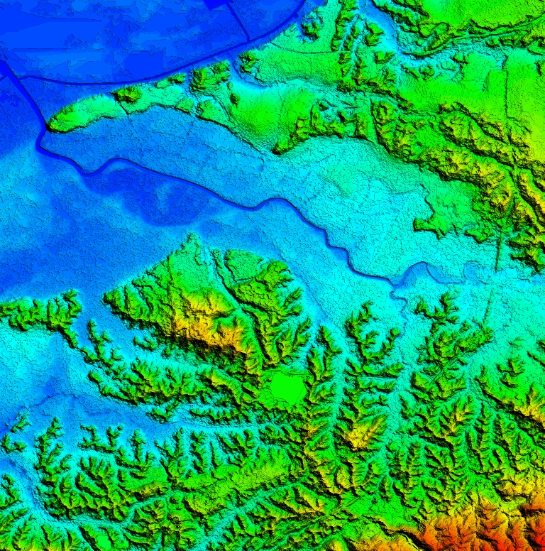
The WorldDEM™ products are based on the radar satellite data. The two satellites TerraSAR-X and TanDEM-X operate as a single-pass SAR interferometer (InSAR), using the bi-static InSAR StripMap mode. Images of an area in the North of Craiova are shown, located at the bank of the Jiu River.

Download Sample Data

AW3D

AW3D is derived from ALOS PRISM 2.5m stereo. It represents terrain with 5 meters in spatial resolution with 5 meters height accuracy. The image shows Chiba city located at the bank of Koito River, Japan.

Download Sample Data

Riyadh nDSM

nDSM of Riyadh city is SATPALDA Geospatial services in house product. nDSM was generated using SPOT 1.5m stereo imagery. It is the most populated and capital city of the Saudi Arabia.

Download Sample Data

VRICON

Vricon DSM and DTM are the derivative of Vricon 3D Surface Model and are fully aligned with Vricon True Ortho. Vricon 3D Surface Modelis the most accurate representation of Earth. It is a 0.5m-resolution 3D product with real textures and an absolute accuracy of 3m in all dimensions. The image shows Tripoli city, Libya.

Download Sample Data

WorldView-3 30 cm

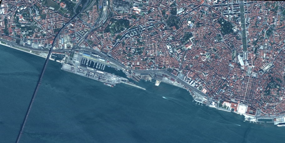
WorldView-3 is the satellite sensor of DigitalGlobe which provides 31 cm panchromatic resolution, 1.24 m Multispectral resolution, 3.7 m SWIR resolution, and 30 m CAVIS resolution. The image shows Lisbon, the capital and largest city of Portugal.

Download Sample Data

(SWIR) Short-Wave Infrared 7.5 m

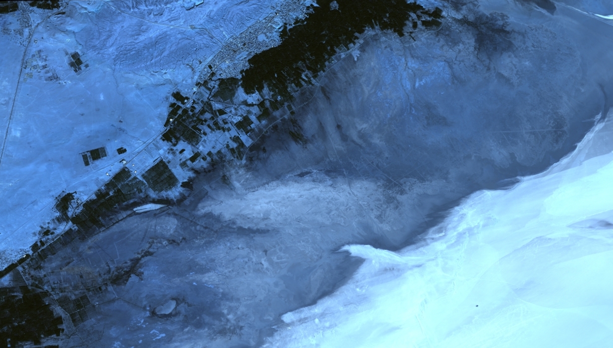
WorldView-3 is the satellite sensor of DigitalGlobe which provides 31 cm panchromatic resolution, 1.24 m Multispectral resolution, 3.7 m SWIR resolution, and 30 m CAVIS resolution. The image show Death Valley located in USA.

Download Sample Data

SPOT 1.5 m

SPOT-6 is an optical imaging satellite capable of providing data with a resolution of 1.5 meter panchromatic and 6 meter multispectral. The image is of Tunisian Desert located in the Tunisia country of North Africa.

Download Sample Data

Pléiades 50 cm

Pléiades 1A and Pléiades 1B are the satellite of Pleiades constellation, provide 0.5m imagery products. Pleiades swath covers 20 km at nadir, the satellites’ high agility allows to acquire in the same pass a mosaic of images covering a larger area or stereoscopic images of 300 km long.

Download Sample Data

GeoEye-1 50 cm

GeoEye-1 is capable of acquiring image data at 0.41 meter panchromatic and 1.64 meter multispectral resolution. The satellite collects up to 700,000 square kilometers of panchromatic imagery per day. GeoEye-1 is able to revisit any point on Earth once every three days or sooner.

Download Sample Data

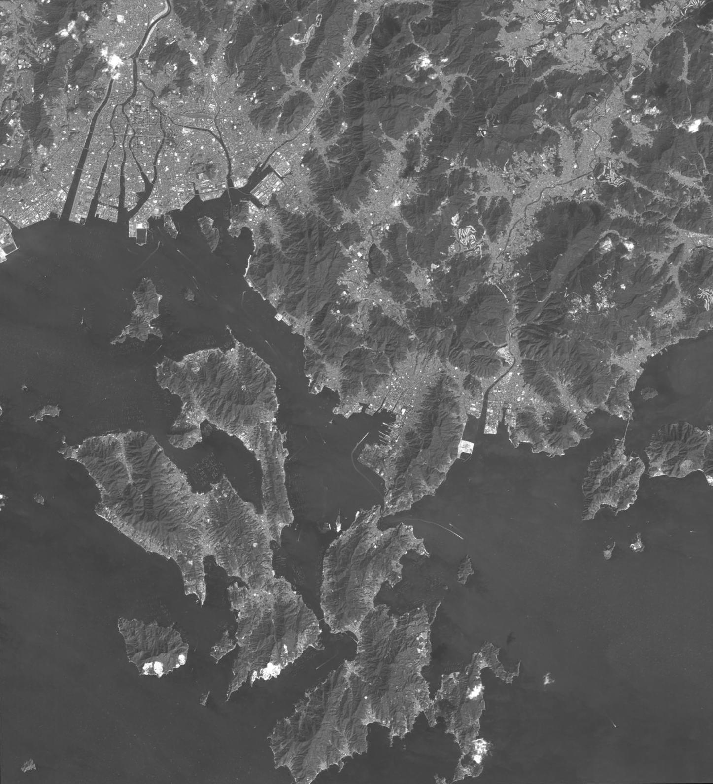
ALOS PRISM

ALOS is a Japanese Earth-Observation satellite and provides 2.5m PRISM and 10m AVNIR-2 resolution satellite data. The image shows Hiroshima, the capital and largest city in the Chugoku region of western Honshu.

Download Sample Data

DTM

DTM (Digital Terrain Model) is an elevation surface representing the bare earth referenced to a common vertical datum. Digital Terrain Models are being used more and more frequently in floodplain management. Examples include floodplain models, visualization, flood hazard assessment, and determination of floodplain elevation. A DTM represents distinctive terrain features much better because of its 3D break lines and regularly spaced 3D mass points.

Download Sample Data

DSM

DSM (Digital Surface Model) measures the height values of the first surface on the ground. This includes terrain features, buildings, vegetation and power lines etc. DSM, therefore, provides a topographic model of the earth's surface. DSM can be used to create 3D fly-through, support location-based systems and augmented simulated environments.

Download Sample Data