Satellite Imagery for Mapping, Monitoring & Intelligence
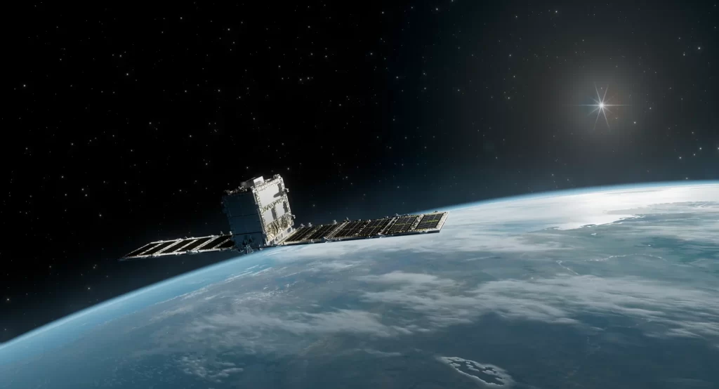
Satellite Imagery for Mapping, Monitoring & Intelligence
Access reliable satellite imagery and Earth observation data for monitoring, analysis, and decision-making across industries. Satpalda provides high-resolution commercial satellite imagery, including optical, SAR, and hyperspectral datasets from leading global satellite constellations. Whether you need archive satellite imagery, new satellite tasking, or analytics-ready data, our platform enables fast access to accurate geospatial insights. From infrastructure monitoring and environmental analysis to agriculture and urban planning, our satellite imagery services help organizations transform raw satellite data into actionable intelligence.
Industry Applications of Satellite Imagery
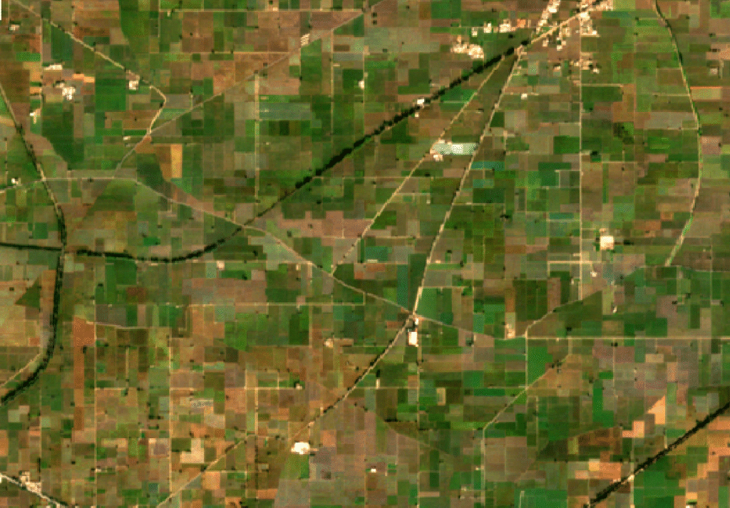
Satellite imagery plays a critical role in modern agriculture by enabling large-scale crop monitoring, vegetation health assessment, soil moisture analysis, and yield prediction. High-resolution satellite data allows farmers, agribusinesses, and government agencies to monitor crop conditions throughout the growing season. By analyzing multispectral satellite imagery, it becomes possible to detect crop stress, pest outbreaks, and irrigation inefficiencies early. Satellite imagery also supports precision agriculture, irrigation planning, crop classification, and agricultural land management, helping improve productivity while optimizing the use of water, fertilizers, and other resources.
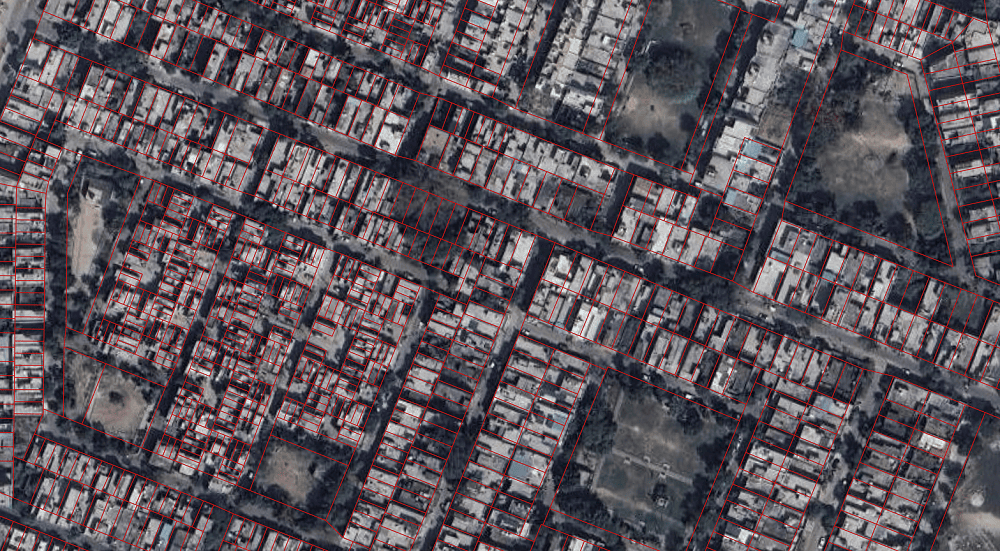
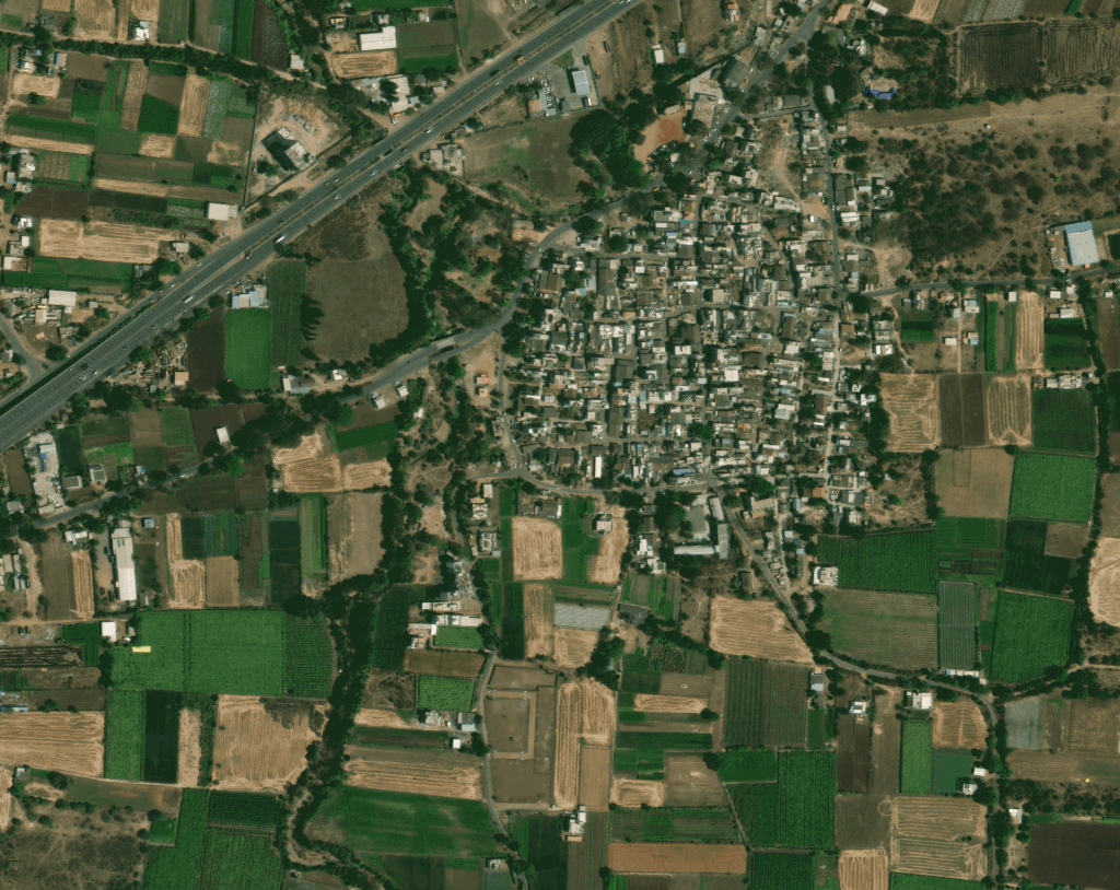
Satellite imagery provides valuable insights for urban planning, smart city development, and land use mapping. Governments and urban planners use high-resolution satellite data to monitor urban expansion, analyze transportation networks, and evaluate land development patterns. Satellite imagery helps identify unauthorized construction, assess infrastructure needs, and support sustainable city planning. With regular satellite monitoring, authorities can track urban growth, population-driven land changes, infrastructure expansion, and environmental impact, enabling more informed decisions for long-term urban development and smart city initiatives.
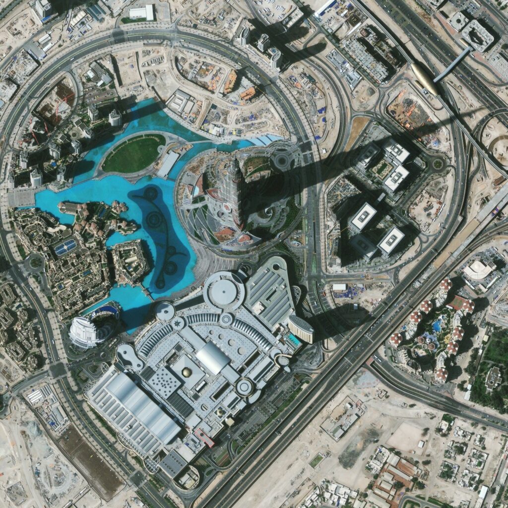
Satellite imagery enables continuous monitoring of large-scale infrastructure projects such as roads, railways, airports, pipelines, and industrial facilities. High-resolution satellite imagery provides consistent and repeatable observations that help track construction progress, identify delays, and detect structural changes over time. Engineering teams and project managers can monitor infrastructure remotely without requiring frequent site visits. Satellite monitoring also supports construction progress tracking, asset management, infrastructure planning, and risk assessment, making it an effective solution for managing complex infrastructure development projects.
Mining and resource management operations rely on satellite imagery to monitor mine expansion, land disturbance, environmental compliance, and operational planning. High-resolution satellite imagery allows mining companies to track excavation activity, stockpile volumes, and changes in surrounding landscapes. Satellite data also supports environmental impact assessment, tailings dam monitoring, and regulatory compliance. By analyzing historical satellite imagery archives alongside newly tasked imagery, mining operators can gain long-term insights into land use changes and operational efficiency.
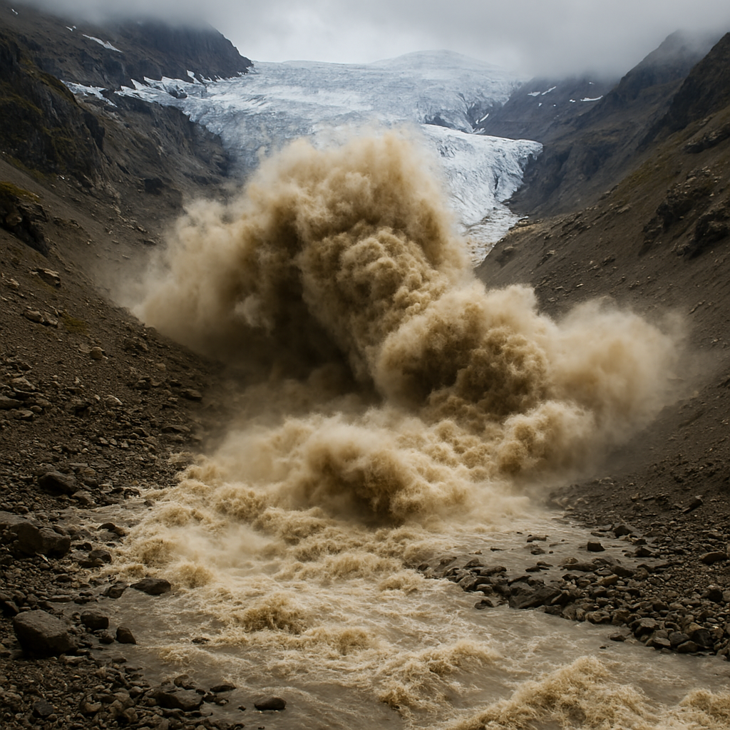
Satellite imagery is a powerful tool for disaster monitoring, damage assessment, and emergency response planning. During natural disasters such as floods, earthquakes, landslides, and wildfires, satellite imagery provides rapid situational awareness and large-area coverage. Emergency response teams use satellite data to map affected areas, assess infrastructure damage, and coordinate relief efforts. SAR satellite imagery is especially valuable because it can capture data through clouds and during nighttime, making it essential for real-time disaster monitoring and response operations.
Satellite imagery is widely used for environmental monitoring and climate analysis across large geographic regions. Scientists and environmental agencies rely on satellite data to track deforestation, coastal erosion, glacier retreat, water resources, and biodiversity changes. Long-term Earth observation datasets allow researchers to analyze environmental trends and assess the impact of climate change. Satellite imagery also supports forest management, carbon monitoring, ecosystem protection, and environmental impact assessments, providing valuable insights for sustainable land and natural resource management.
Types of Satellite Imagery
Optical Satellite Imagery
Optical imagery captures high-resolution visual data similar to traditional aerial photography. It is widely used for mapping, land use analysis, agriculture monitoring, and infrastructure assessment.
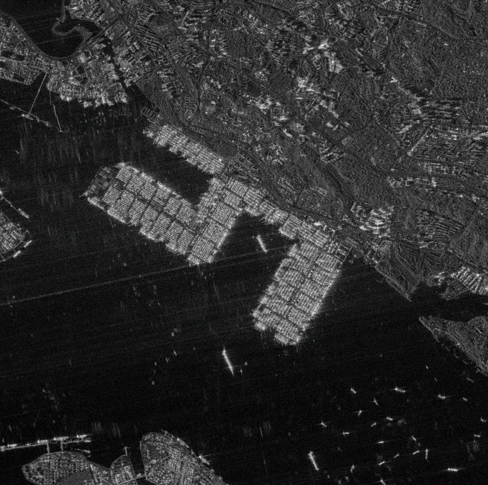
Synthetic Aperture Radar (SAR) Imagery
SAR satellite imagery uses radar signals to capture data day or night and through clouds. It is ideal for disaster monitoring, ground deformation detection, flood mapping, and infrastructure monitoring.
Hyperspectral Satellite Imagery
Hyperspectral imagery captures hundreds of spectral bands, allowing detailed material identification, mineral exploration, vegetation analysis, and environmental monitoring.
Multispectral Satellite Imagery
Multispectral imagery collects data across several spectral bands, making it useful for crop monitoring, vegetation analysis, water resource mapping, and environmental assessments.
Very High Resolution (VHR) Satellite Imagery
Very high-resolution satellite imagery provides sub-meter spatial resolution, enabling detailed analysis of urban areas, transportation networks, infrastructure assets, and construction sites.
Thermal Satellite Imagery
Thermal satellite imagery detects heat signatures and temperature variations, which helps monitor wildfires, urban heat islands, industrial activity, and environmental changes.