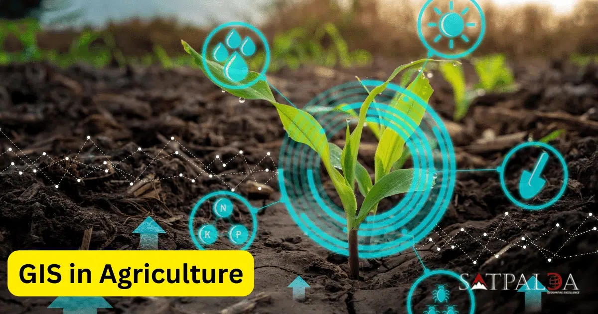
To make well-informed judgments about farming operations, satellite imagery, geographical data and advanced analytics are integrated using geospatial information systems in agriculture where fundamentally, GIS gives farmers the ability to view, evaluate and comprehend geographic data, facilitating a more accurate and effective method of overseeing agricultural operations. As the agricultural sector undergoes constant change, technology… Continue reading GIS in Agriculture

