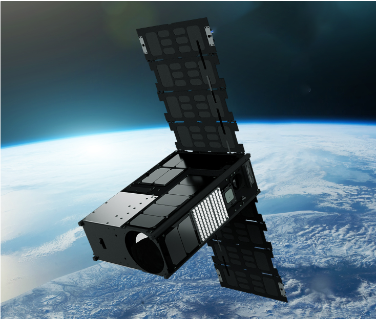
Wyvern Satellite (Hyperspectral Imaging)
Dragonette Hyperspectral Satellite Constellation – Wyvern
The Dragonette constellation is Wyvern’s advanced hyperspectral Earth observation satellite fleet, designed to deliver high-revisit, high-fidelity spectral intelligence at global scale. Each satellite in the Dragonette series is equipped with a hyperspectral imaging payload, enabling collection of hundreds of contiguous spectral bands across the visible, near-infrared (VNIR), and short-wave infrared (SWIR) ranges.
The constellation architecture allows frequent global revisit, scalable deployment, and consistent data quality, making Dragonette ideal for continuous monitoring of agriculture, mining, environment, energy, climate, and defense applications.
Dragonette Satellite Series (Operational & Planned)
Dragonette-1 (Pathfinder / Demonstration Satellite)
First hyperspectral demonstration satellite by Wyvern
Validated hyperspectral imaging performance in orbit
Proved data quality, calibration accuracy, and mission concept
Foundation for scaling the commercial constellation
Dragonette-2
Operational commercial hyperspectral satellite
Enhanced spectral resolution and radiometric accuracy
Optimized for large-scale Earth monitoring applications
Improved downlink capability for faster data delivery
Dragonette-001 | Image Credit: Wyvern
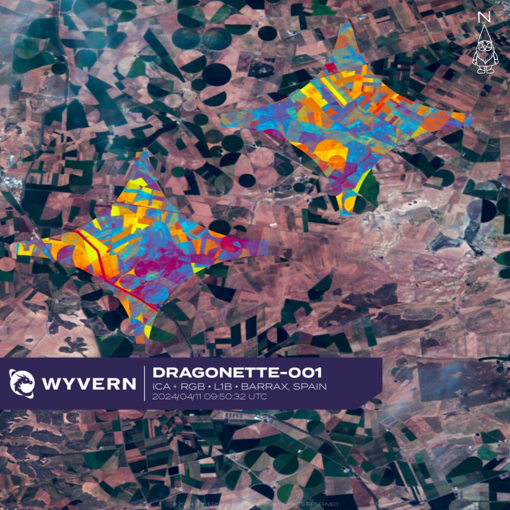
Dragonette-001 | Image Credit: Wyvern
Dragonette-3 (and Future Units)
Next-generation constellation satellites
Designed for:
Higher revisit frequency
Improved signal-to-noise ratio
Expanded coverage capacity
Forms the backbone of Wyvern’s scalable hyperspectral monitoring network
Full Constellation Vision
Wyvern is building a multi-satellite hyperspectral constellation using the Dragonette platform to enable:
Daily global hyperspectral coverage
High-temporal monitoring for time-series analytics
Scalable constellation growth based on mission demand
Cloud-based spectral data delivery & analytics integration
Constellation Technical Capabilities
Hundreds of narrow contiguous spectral bands
VNIR + SWIR spectral coverage
High radiometric sensitivity
Sub-pixel spectral detection
AI & ML-ready hyperspectral datasets
Rapid data delivery pipeline
Applications Enabled by Dragonette Constellation
Precision agriculture & crop analytics
Mineral mapping & mining exploration
Environmental monitoring & climate research
Water quality and coastal surveillance
Energy & infrastructure monitoring
Defense, intelligence & security operations
Disaster monitoring & damage assessment