Mapping Mango Plantations Using Sentinel-2 Satellite Data and Machine Learning
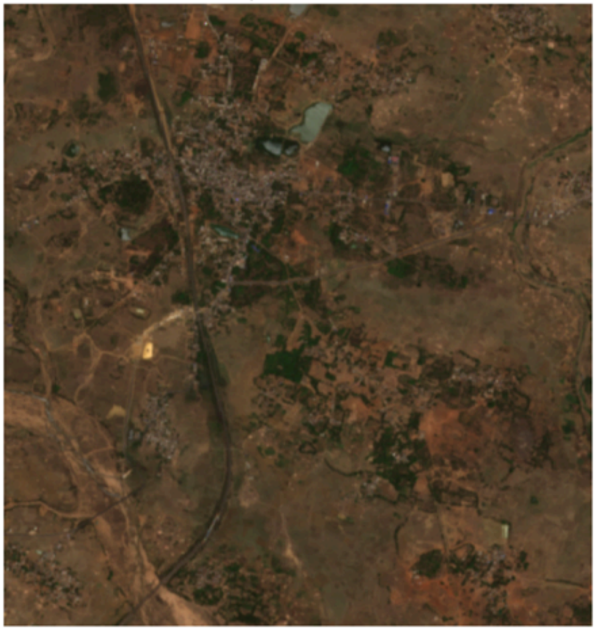
Remote sensing data combined with machine learning techniques can be effectively used to identify and classify tree species across large geographic areas using satellite imagery. In this study, Sentinel-2 multispectral data was processed and analyzed to distinguish mango plantations (Mangifera indica) from other types of vegetation. By applying spectral indices and supervised classification methods, the study successfully mapped and monitored mango-growing regions, supporting improved agricultural planning and crop management.
Data Used: Sentinel-2 satellite imagery
Spatial Resolution: 10 meters
Results:
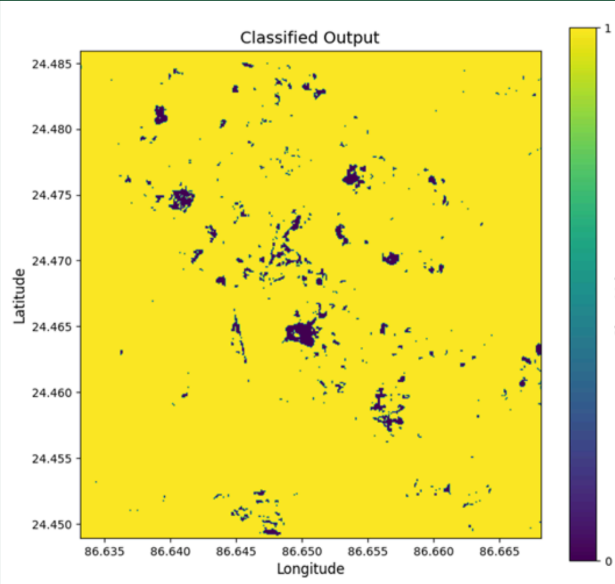
The model achieved an overall classification accuracy of 86%, indicating strong and reliable performance. Mango tree species were successfully identified using Sentinel-2 multispectral satellite data, producing a clear classified output map that shows the spatial distribution of mango plantations. The workflow enabled semi-automated and repeatable species identification over large areas and supported scalable applications in precision agriculture, forestry management, and ecological monitoring.
Amit Thakur
GIS Engineer