How AI Is Transforming Satellite Data into Decision Intelligence
Introduction: From Images to Intelligence
Satellite data has been available for decades, but only recently has it begun delivering true decision intelligence. The turning point is artificial intelligence. In 2026, AI has become the critical layer that converts massive volumes of satellite imagery into timely, actionable insights for governments, enterprises, and researchers.
Earth Observation satellites now generate petabytes of optical, SAR, hyperspectral, and thermal data every year. Without automation, much of this information would remain underutilized. AI bridges the gap—analyzing patterns, detecting change, predicting outcomes, and enabling faster, more confident decisions.
This article explores how AI is transforming satellite data into decision intelligence, the technologies behind it, and the real-world use cases driving adoption across industries.
The Challenge of Raw Satellite Data
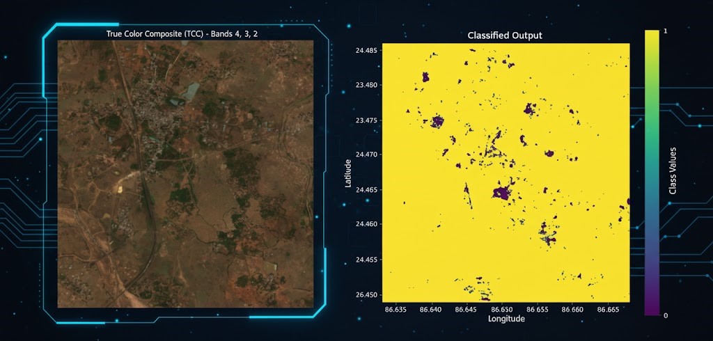
Satellite imagery alone does not equal insight. Raw data is complex, high-volume, and often requires advanced expertise to interpret. Traditional manual analysis is slow, expensive, and difficult to scale—especially when monitoring large areas or frequent changes.
By 2026, organizations expect:
- Near real-time insights
- Automated change detection
- Predictive analytics, not just visualization
- Scalable analysis across regions and time
AI has emerged as the only viable solution capable of meeting these expectations.
AI as the Intelligence Layer in Earth Observation
Machine Learning and Deep Learning Explained
Machine learning (ML) models learn patterns from historical satellite data, while deep learning (DL) models—particularly convolutional neural networks—excel at image-based analysis.
In Earth Observation, these models are trained to:
- Recognize objects such as buildings, roads, ships, and crops
- Detect changes over time
- Classify land use and land cover
- Identify anomalies and risk indicators
Organizations like NASA have been at the forefront of integrating AI into satellite-based Earth science and operational monitoring systems.
From Pixel Analysis to Contextual Understanding
Modern AI models no longer analyze pixels in isolation. They incorporate spatial, temporal, and contextual information—understanding not just what has changed, but why it matters.
This evolution is what turns satellite data into decision intelligence rather than static maps.
Automating Feature Extraction and Change Detection
Feature Extraction at Scale
AI automates the extraction of features such as:
- Buildings and infrastructure assets
- Transportation networks
- Agricultural fields and crop types
- Water bodies and shoreline boundaries
High-resolution imagery from providers like Maxar Technologies is now routinely processed using AI models to generate vector layers and analytical outputs within hours.
This evolution is what turns satellite data into decision intelligence rather than static maps.
AI-Driven Change Detection
Change detection is one of the most impactful AI applications in satellite analytics. AI models compare imagery across time to identify:
- New construction or demolition
- Deforestation and land degradation
- Flood extent and disaster damage
- Infrastructure movement or deformation
This capability enables proactive monitoring instead of reactive assessment.
Predictive Analytics and Risk Intelligence
Moving Beyond What Happened
AI-powered satellite analytics are increasingly predictive. By analyzing historical trends and real-time observations, AI can forecast:
- Crop yield and food security risks
- Flood-prone zones and urban expansion
- Infrastructure failure probabilities
- Environmental degradation patterns
This predictive capability supports long-term planning and risk mitigation.
Integration with SAR and Multisensor Data
Synthetic Aperture Radar (SAR) data plays a crucial role in predictive analytics due to its sensitivity to surface movement and moisture.
Agencies such as European Space Agency actively support multisensor AI models that fuse optical, SAR, and thermal data for more reliable intelligence outputs.
Real-Time Intelligence Through Cloud and AI
Cloud-Native AI Pipelines
By 2026, most AI-powered satellite analytics are cloud-native. This allows:
- On-demand processing of large datasets
- Rapid model deployment and updates
- Collaborative analysis across teams and geographies
Cloud-based AI also reduces infrastructure costs while improving scalability.
Small Satellite Constellations and AI
The rise of small satellite constellations has significantly increased data frequency. Companies like Planet Labs provide daily global imagery, which AI models analyze continuously to deliver near real-time intelligence.
This combination of high revisit rates and automated analytics is transforming time-sensitive decision-making.
Industry Use Cases: AI-Driven Decision Intelligence
Agriculture and Food Systems
AI analyzes satellite imagery to monitor crop health, soil moisture, pest outbreaks, and irrigation efficiency. Governments and agribusinesses use these insights to improve yield forecasts, manage subsidies, and enhance food security planning.
Urban Development and Infrastructure
Urban planners use AI-driven satellite intelligence to track urban sprawl, infrastructure growth, and zoning compliance. SAR-based AI models detect subsidence and structural risk, supporting infrastructure maintenance and resilience planning.
Climate and Environmental Monitoring
AI enables large-scale monitoring of deforestation, glacier retreat, coastal erosion, and biodiversity loss. These insights feed into ESG reporting, carbon accounting, and climate policy frameworks.
Disaster Management and Emergency Response
During disasters, AI rapidly assesses damage using before-and-after imagery, enabling faster insurance claims, humanitarian aid deployment, and recovery planning.
Defense, Security, and Maritime Intelligence
AI-powered satellite analytics support border surveillance, ship detection, and threat monitoring. Automated alerts reduce human workload while increasing situational awareness.
Ethics, Accuracy, and Human-in-the-Loop Models
While AI brings speed and scale, human expertise remains essential. In 2026, the most trusted systems use human-in-the-loop models, where analysts validate AI outputs and refine models over time.
This approach ensures accuracy, transparency, and responsible use of AI-driven Earth Observation intelligence.
The Future of AI and Satellite Decision Intelligence
Looking ahead, AI will increasingly move onboard satellites, enabling real-time processing before data reaches the ground. Autonomous tasking, edge AI, and self-learning models will further reduce latency and enhance responsiveness.
The transformation is clear: satellite data is no longer just observed—it is understood, predicted, and acted upon.


