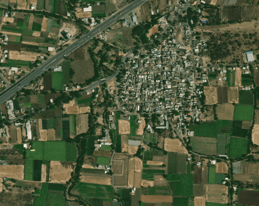
How Satellite Data is Transforming Urban Planning and Land-Use Decisions
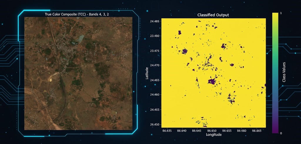
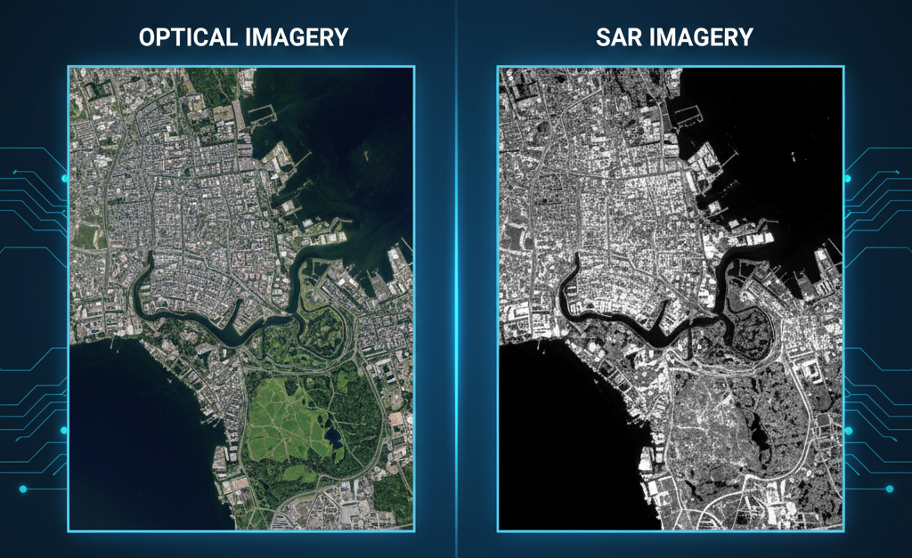
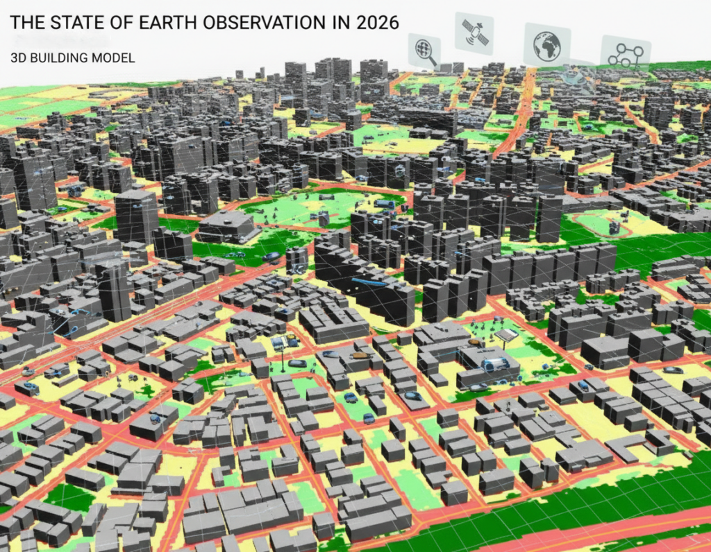
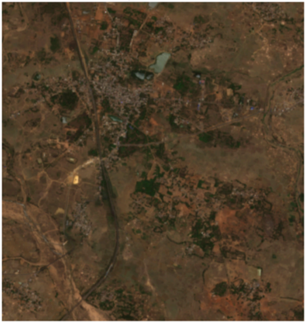
How Satellite Data is Transforming Urban Planning and Land-Use Decisions Satellite Data and the Future of Urban Planning Cities across […]
How Satellite Data is Transforming Urban Planning and Land-Use Decisions Read Post »
Articles