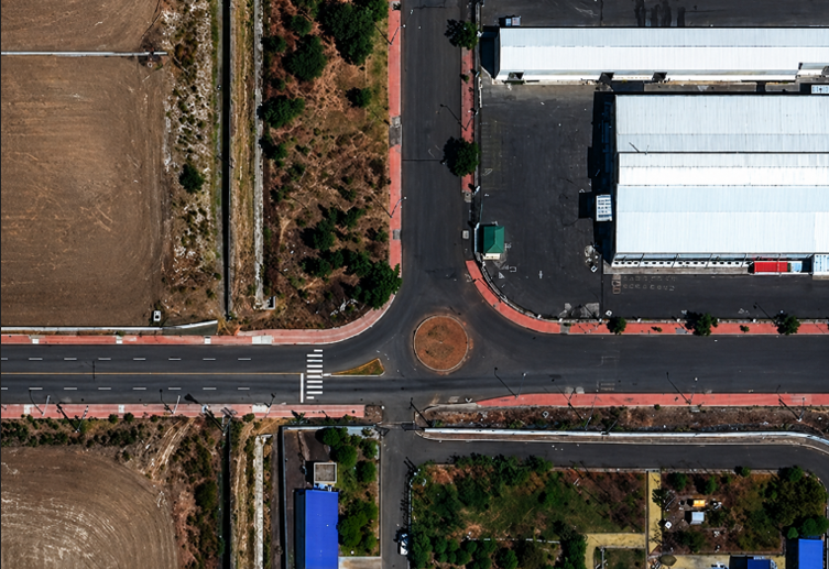
What is 15cm Satellite Imagery?
What is 15cm Satellite Imagery? This image shows extreme ground-level detail such as vehicles, lane markings, and urban infrastructure. Introduction […]
What is 15cm Satellite Imagery? Read Post »
ArticlesWhat is 15cm Satellite Imagery? This image shows extreme ground-level detail such as vehicles, lane markings, and urban infrastructure. Introduction […]
What is 15cm Satellite Imagery? Read Post »
Articles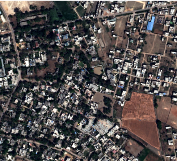
High-Resolution Satellite Imagery: A Complete 2026 Overview High-resolution satellite imagery is a specialized form of earth observation data captured with
High-Resolution Satellite Imagery: A Complete 2026 Overview Read Post »
Articles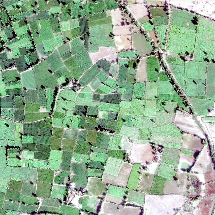
8 Critical Questions to Ask Before Choosing a Satellite Imagery Provider Choosing the right satellite imagery provider is not just
8 Critical Questions to Ask Before Choosing a Satellite Imagery Provider Read Post »
Articles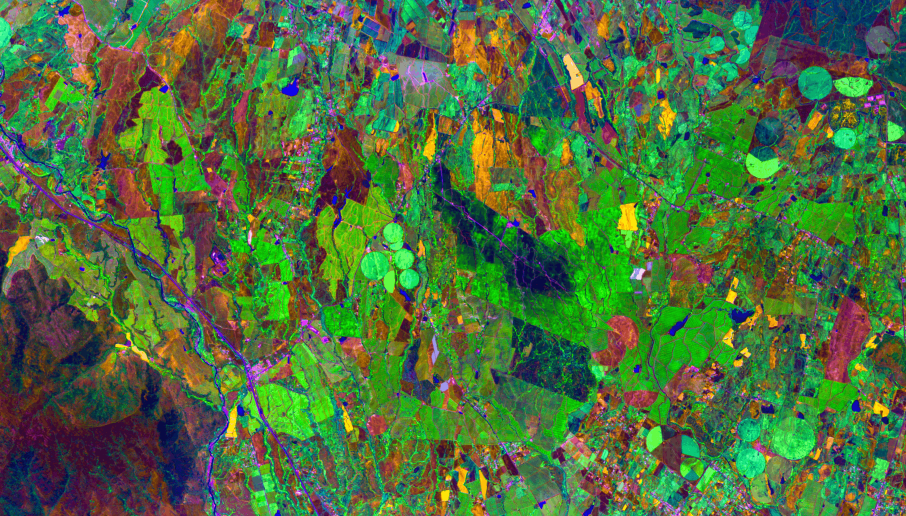
8 Powerful Benefits of Hyperspectral Satellite Imagery You Should Know In the world of satellite imagery and remote sensing, not
8 Powerful Benefits of Hyperspectral Satellite Imagery You Should Know Read Post »
Articles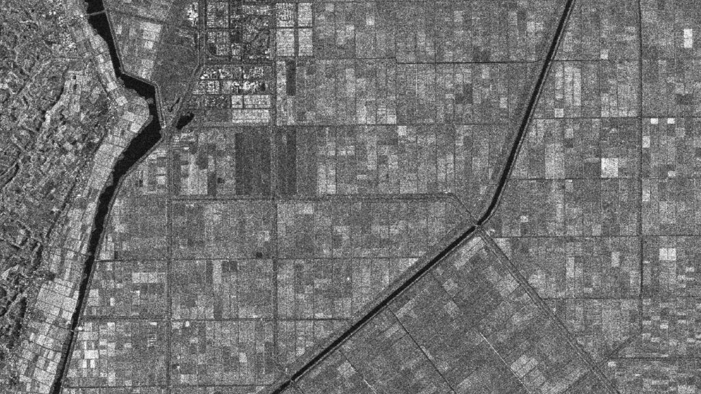
7 Must-Know Use Cases of Satellite Data in Agriculture You Can’t Ignore Agriculture is no longer just about soil, water,
7 Must-Know Use Cases of Satellite Data in Agriculture Read Post »
Articles10 Powerful Applications of Satellite Imagery You Should Know Satellite imagery has become one of the most powerful tools in
10 Powerful Applications of Satellite Imagery You Should Know Read Post »
Articles6 Powerful Reasons Businesses Need Geospatial Analytics Today In today’s data-driven world, businesses are constantly searching for ways to gain
6 Powerful Reasons Businesses Need Geospatial Analytics Today Read Post »
Articles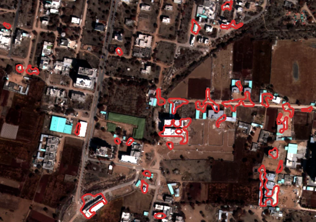
Automated Change Detection Using Satellite Imagery The Earth’s surface is constantly evolving. Cities expand, forests shrink, rivers change course, and
How Satellite Imagery is Transforming Climate Risk, ESG, and Sustainability Reporting Environmental responsibility is no longer optional for businesses and
How Satellite Imagery is Transforming Climate Risk, ESG, and Sustainability Reporting Read Post »
Articles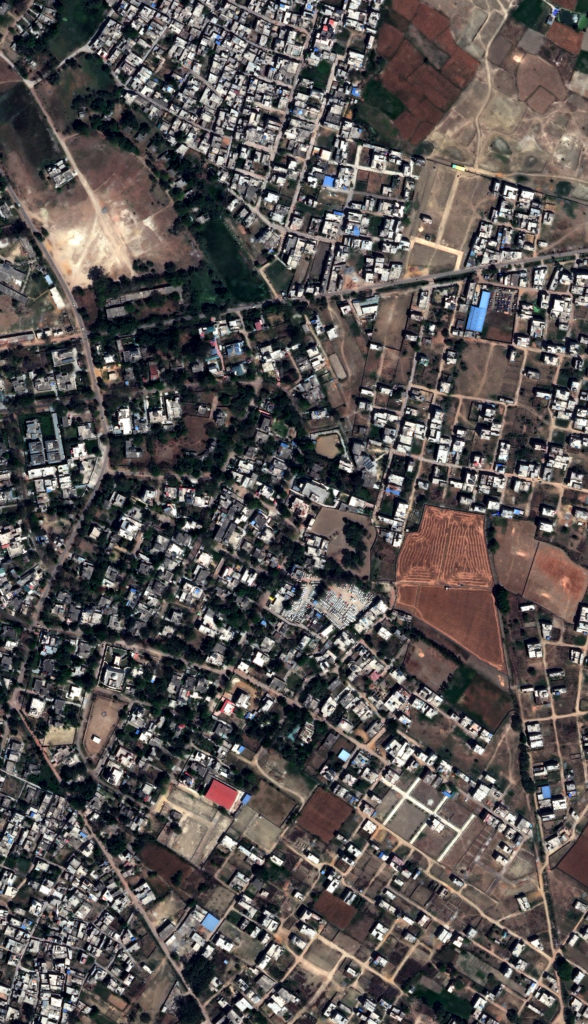
Urban Planning from Space: How Satellite Imagery is Transforming Modern City Development Cities are expanding at an unprecedented rate. According
Urban Planning from Space: How Satellite Imagery is Transforming Modern City Development Read Post »
Articles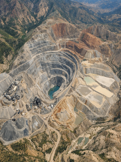
Mining and Natural Resources Monitoring Using Satellite Analytics Introduction The global demand for minerals, metals, and natural resources continues to
How Satellite Imagery is Transforming Mining Monitoring and Natural Resource Management Read Post »
ArticlesHow Satellite Data is Transforming Urban Planning and Land-Use Decisions Satellite Data and the Future of Urban Planning Cities across
How Satellite Data is Transforming Urban Planning and Land-Use Decisions Read Post »
Articles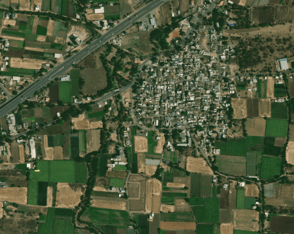
Satellite Intelligence for Agriculture, Forestry, and Environmental Monitoring Satellite intelligence has become an essential tool for understanding and managing the
Satellite Intelligence for Agriculture, Forestry, and Environmental Monitoring Read Post »
Articles
The Role of Satellite Data in National Security and Defense Planning Modern defense strategies are increasingly dependent on satellite imagery
Satellite Data in National Security: How Earth Observation Supports Defense Planning Read Post »
Articles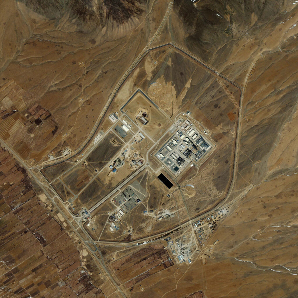
Earth Observation for Decision-Makers: A Practical Guide Across Industries In today’s data-driven world, decision-makers are increasingly relying on earth observation