8 Critical Questions to Ask Before Choosing a Satellite Imagery Provider
Choosing the right satellite imagery provider is not just a technical decision—it’s a strategic one. With the rapid growth of commercial satellite imagery, Earth observation data, and geospatial analytics, businesses now have access to multiple providers offering different types of data, pricing models, and capabilities.
However, not all providers are the same. The wrong choice can lead to poor data quality, delays, and higher costs. Whether you’re looking for high-resolution satellite imagery, SAR data, hyperspectral imagery, or GIS-ready datasets, asking the right questions can help you make an informed decision.
Here are eight critical questions you must ask before choosing a satellite imagery provider.
1. What Type of Satellite Imagery Do You Offer?
The first and most important question is about the type of satellite imagery available.
Different applications require different data types, such as:
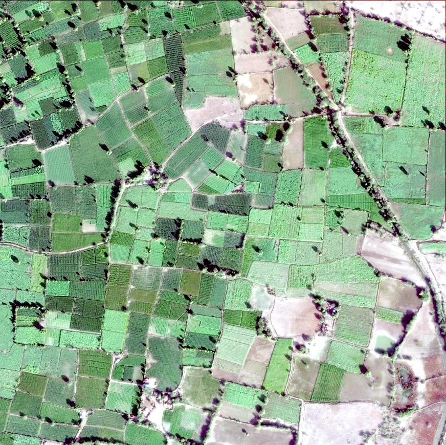
- Optical satellite imagery for visual analysis
- SAR (Synthetic Aperture Radar) for all-weather monitoring
- Hyperspectral imagery for material identification
- Multispectral imagery for agriculture and environmental analysis
Make sure the provider offers the data type that matches your use case.
2. What is the Spatial Resolution of Your Data?
Resolution determines how detailed your satellite imagery will be.
Ask the provider:
- What is the highest resolution available?
- Do you offer sub-meter resolution imagery?
- How does resolution impact pricing?
For applications like urban planning, infrastructure monitoring, and defence, high-resolution satellite imagery is essential.
3. Do You Provide Archive and Tasking Options?
A reliable satellite imagery provider should offer both:
- Archive imagery – Historical satellite data
- Tasking imagery – New data captured on demand
If your project requires real-time monitoring or specific capture dates, tasking capabilities are crucial.
Understanding this difference helps you choose the right data source for your needs.
4. What is the Revisit Frequency and Data Availability?
Revisit frequency refers to how often a satellite can capture the same location.
Ask:
- How frequently can you capture new imagery?
- Do you provide near real-time satellite data?
- What is the turnaround time for delivery?
For industries like disaster management, agriculture monitoring, and infrastructure tracking, frequent updates are critical.
5. What is the Pricing Model?
Satellite imagery pricing can vary significantly depending on:
- Resolution
- Area of interest (AOI)
- Data type
- Tasking requirements
Ask for:
- Transparent pricing structure
- Cost comparison between archive and tasking data
- Any hidden or additional charges
Understanding the pricing model helps avoid unexpected costs.
6. Do You Provide Value-Added Services?
Raw satellite data is useful, but value-added services can make a big difference.
Check if the provider offers:
- Image processing and analysis
- GIS integration and mapping solutions
- Geospatial analytics and dashboards
- Custom insights and reports
These services can save time and improve decision-making.
7. How Reliable is the Data Quality?
Data quality is critical for accurate analysis.
Ask:
- What is the accuracy level of the imagery?
- Are images orthorectified and geo-referenced?
- How do you handle cloud cover and noise?
High-quality satellite imagery ensures reliable results for applications like land use mapping, environmental monitoring, and infrastructure planning.
8. Do You Offer API Access and Platform Integration?
Modern businesses require seamless data integration.
Check if the provider offers:
- Satellite imagery API access
- Integration with GIS platforms and WebGIS solutions
- Cloud-based data delivery
This allows businesses to automate workflows and scale operations efficiently.
Why Choosing the Right Provider Matters
The right satellite imagery provider can:
- Improve data accuracy and reliability
- Reduce operational costs
- Enhance decision-making
- Provide faster access to insights
On the other hand, choosing the wrong provider can lead to delays, poor-quality data, and missed opportunities.
Final Thoughts
Satellite imagery is a powerful tool, but its effectiveness depends heavily on the provider you choose.
By asking these eight critical questions, you can evaluate providers based on:
- Data quality
- Pricing transparency
- Technical capabilities
- Industry relevance
In a rapidly evolving geospatial landscape, businesses need more than just data—they need reliable, scalable, and actionable satellite intelligence.
Choosing the right partner ensures you get the most value from your satellite imagery and geospatial investments.
If you’re planning to integrate satellite imagery, GIS, and geospatial analytics into your workflow, take the time to evaluate providers carefully—it will make all the difference.


