Custom Geospatial Projects & Consulting Solutions
Custom Geospatial Consulting for Complex Spatial Challenges
Every project has unique data requirements and operational challenges. Satpalda provides custom geospatial consulting and project-based solutions tailored to specific industry needs. By combining satellite imagery, GIS mapping, remote sensing analysis, and earth observation data, our experts design specialized workflows that transform complex spatial datasets into actionable insights. Whether organizations require satellite data procurement, advanced geospatial analysis, infrastructure monitoring, or environmental assessments, our consulting services deliver scalable solutions. Through strategic planning, data integration, and geospatial expertise, Satpalda helps enterprises, governments, and research institutions solve complex spatial problems with confidence.
Industry Applications of Custom Geospatial Consulting
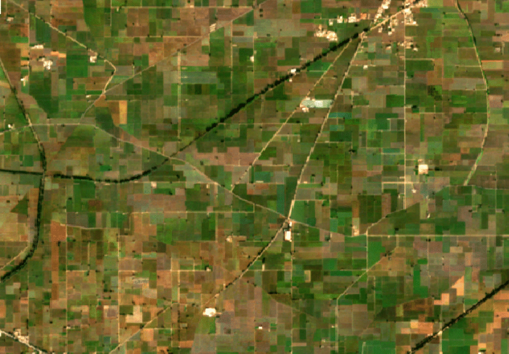
Agricultural organizations often require customized geospatial workflows for crop monitoring, land suitability analysis, irrigation planning, and yield prediction. Through satellite imagery analysis and GIS modeling, custom geospatial solutions help farmers, agribusinesses, and policymakers improve productivity while optimizing resource management and sustainability.
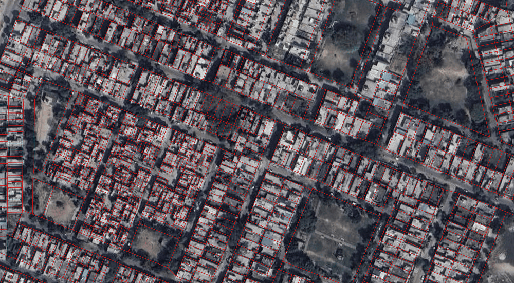
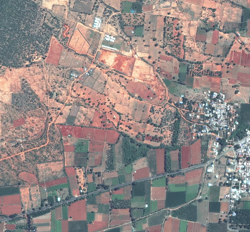
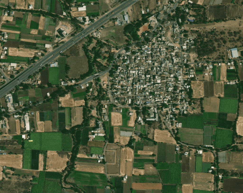
Urban development projects require detailed spatial intelligence. Custom GIS and satellite data solutions help planners analyze urban expansion, land use changes, transportation networks, and infrastructure development. These insights support smarter zoning policies, sustainable development strategies, and efficient city planning initiatives.
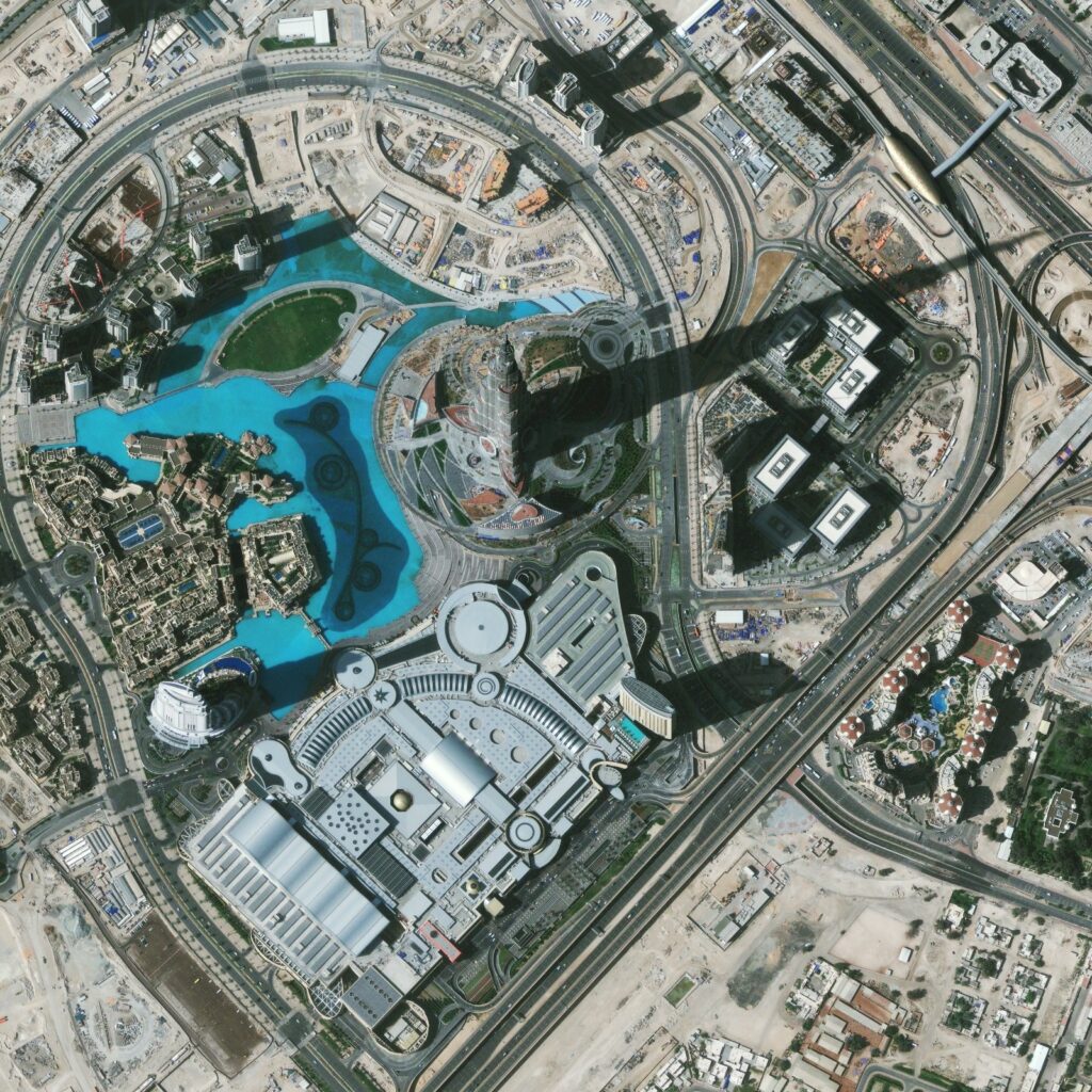
Large infrastructure projects often require specialized geospatial analysis, satellite monitoring, and GIS mapping tailored to the project lifecycle. Custom geospatial consulting supports feasibility studies, site analysis, infrastructure monitoring, and spatial planning. By integrating satellite imagery with GIS data, project teams gain accurate spatial insights that improve planning, reduce risks, and enhance project management.
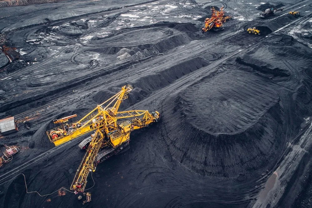
Mining companies rely on customized geospatial solutions to analyze terrain conditions, mineral exploration zones, and operational impacts. By integrating satellite imagery, elevation models, and GIS analysis, custom geospatial consulting supports exploration planning, site monitoring, and environmental compliance across mining operations.
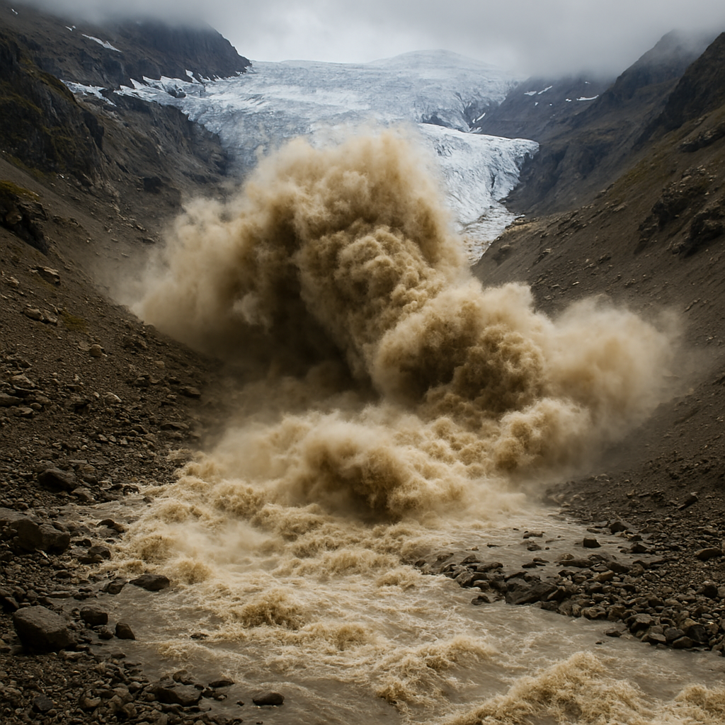
Governments and emergency agencies require customized geospatial models to analyze hazard zones, flood risk areas, landslide susceptibility, and disaster impact scenarios. Custom consulting services combine satellite imagery, terrain analysis, and GIS modeling to support disaster preparedness, early warning systems, and resilient infrastructure planning.
Environmental research and sustainability initiatives frequently require specialized geospatial data analysis. Custom remote sensing workflows enable organizations to monitor deforestation, climate impacts, biodiversity zones, and water resources. Tailored geospatial consulting ensures accurate data interpretation for environmental assessments and long-term monitoring projects.
Types of Custom Geospatial Services
Satellite Data Consulting
Expert guidance on selecting the right satellite imagery, earth observation datasets, and data acquisition strategies for specific project requirements.
Custom GIS Analysis
Tailored GIS mapping and spatial analysis workflows designed to solve complex geographic challenges across industries.
Remote Sensing Data Interpretation
Advanced analysis of satellite imagery, SAR data, and hyperspectral datasets to extract meaningful environmental and operational insights.
Geospatial Data Integration
Integration of multiple data sources including satellite imagery, GIS layers, LiDAR data, and field data into a unified spatial analysis platform.
Spatial Modeling & Analytics
Development of predictive spatial models and geospatial analytics frameworks for planning, monitoring, and risk assessment.
Project-Based Geospatial Solutions
End-to-end consulting for custom geospatial projects, including project design, spatial data analysis, visualization, and decision-support systems.