Geospatial Web Solutions & GIS Dashboard Development

Custom Web GIS Platforms & Geospatial Dashboards
Satpalda develops custom Web GIS platforms, geospatial dashboards, and spatial data portals designed to transform complex geospatial datasets into intuitive web-based applications. By integrating satellite imagery, GIS mapping tools, and real-time spatial analytics, our solutions allow organizations to visualize, analyze, and manage geographic information through powerful web interfaces. From interactive mapping platforms and monitoring dashboards to enterprise geospatial portals, our web solutions enable seamless access to spatial intelligence. These platforms support industries such as urban planning, environmental monitoring, infrastructure management, and disaster response, helping teams make faster and more informed decisions using geospatial data.
Industry Applications of Satellite Imagery
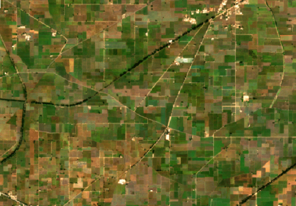
Web GIS platforms allow farmers and agricultural planners to monitor crop conditions, irrigation systems, land use patterns, and soil data through interactive dashboards. These platforms integrate satellite imagery with spatial analytics, enabling efficient farm management and improved agricultural planning.
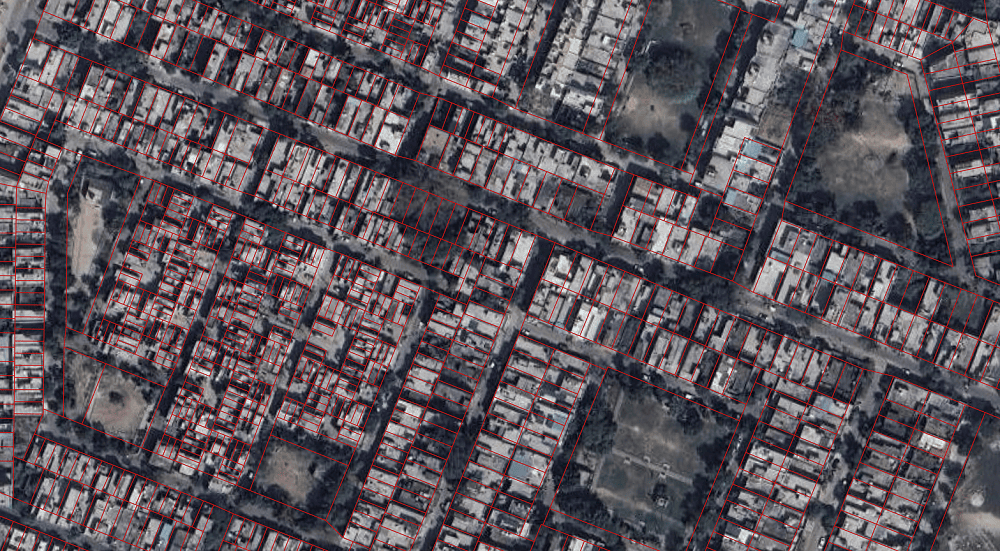
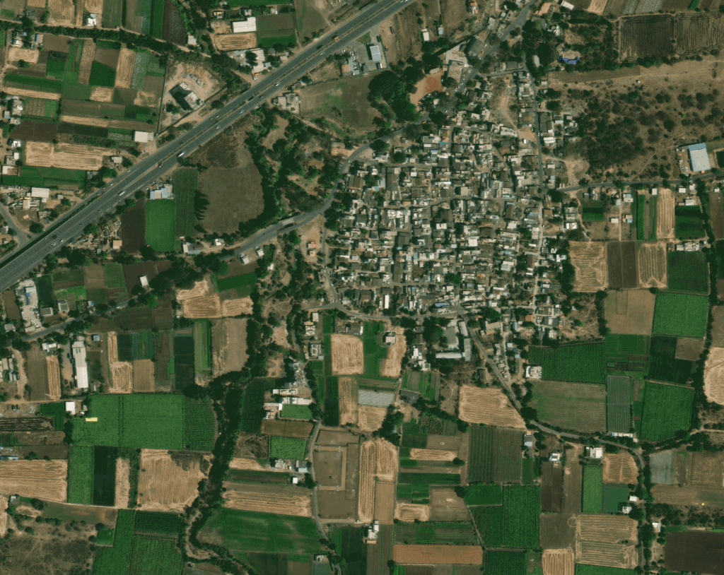
Web GIS platforms help city planners visualize urban infrastructure, transportation networks, land use data, and population distribution through interactive mapping dashboards. These tools allow planners to analyze spatial data, monitor urban expansion, and support smart city initiatives. By providing centralized access to geospatial information, Web GIS applications improve collaboration between government departments and enable data-driven urban development strategies.
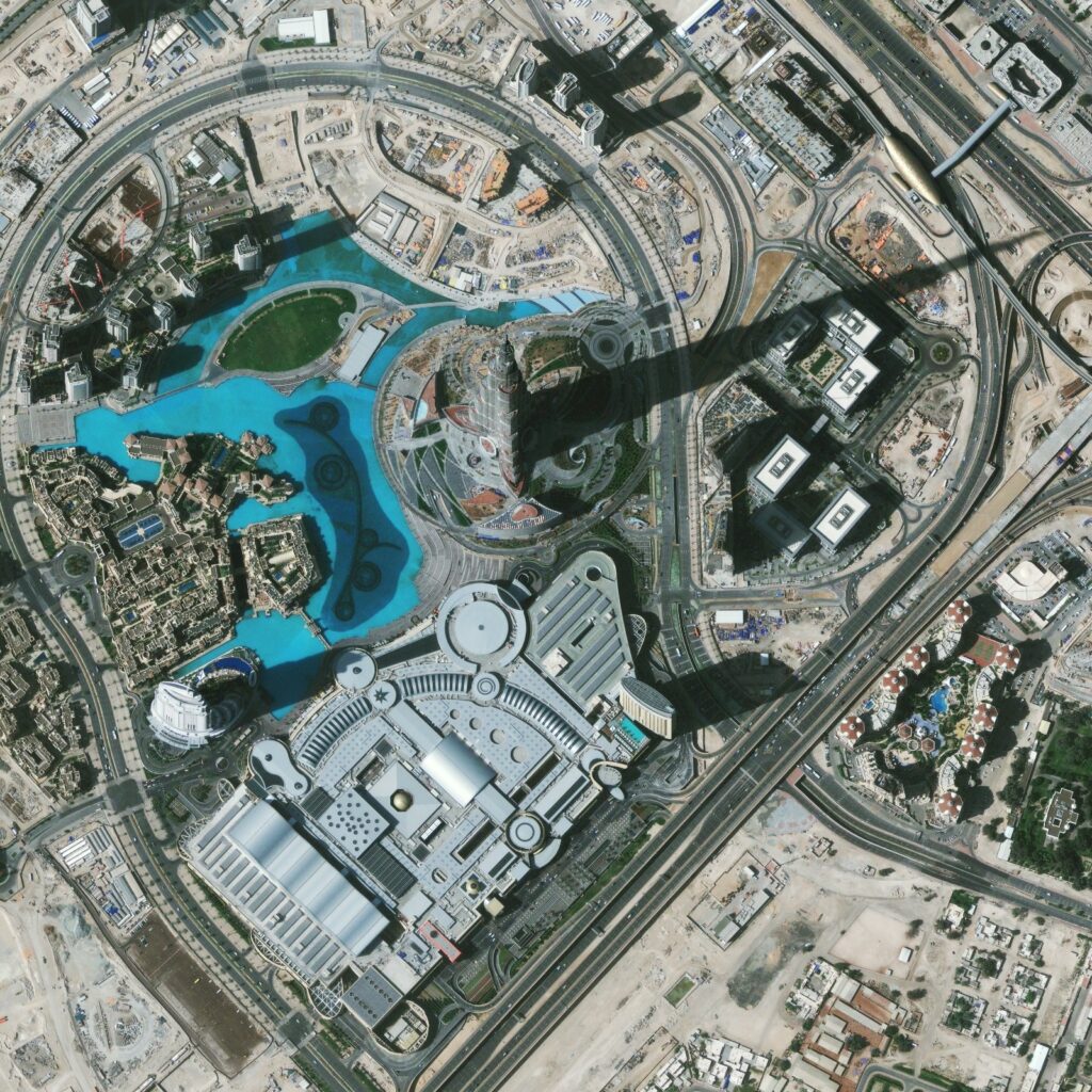
Geospatial dashboards provide real-time visibility into roads, pipelines, utilities, construction sites, and infrastructure assets. Web GIS platforms allow organizations to track project progress, monitor infrastructure conditions, and manage large asset networks. These web-based mapping solutions improve operational efficiency by providing interactive spatial data visualization and centralized access to infrastructure information.
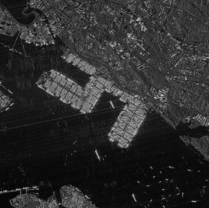
Mining organizations use Web GIS dashboards to visualize mine sites, geological data, operational zones, and environmental impact areas. These platforms allow companies to monitor mining operations, analyze terrain conditions, and improve resource management through centralized geospatial data access.
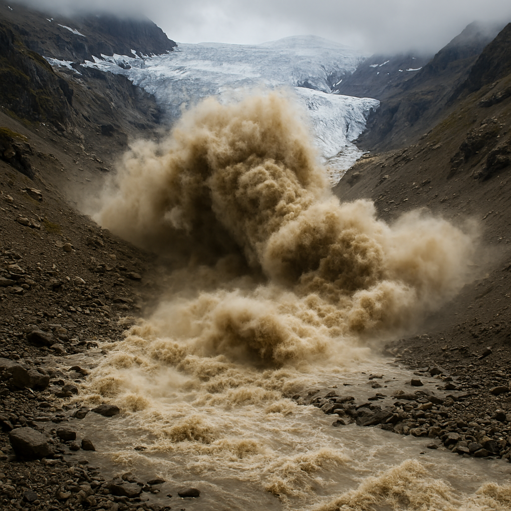
During natural disasters, Web GIS dashboards provide real-time mapping and situational awareness. Emergency responders can visualize affected regions, monitor hazard zones, and coordinate response activities through interactive geospatial platforms. By combining satellite imagery with GIS layers, Web GIS systems help authorities make faster and more effective disaster response decisions.
Environmental agencies use Web GIS platforms to monitor forests, water resources, climate indicators, and ecosystem changes. By integrating satellite imagery and geospatial analytics into web dashboards, organizations can track environmental trends and share insights across teams. These platforms support environmental conservation, climate analysis, and sustainable resource management initiatives.
Types of Web GIS Solutions
Web GIS Platform Development
Development of interactive Web GIS platforms that allow users to access, visualize, and analyze geospatial data through web browsers.
Geospatial Dashboards
Custom dashboards that integrate satellite imagery, GIS layers, and spatial analytics for real-time monitoring and decision support.
Satellite Data Visualization Portals
Web portals designed to visualize earth observation data, satellite imagery, and geospatial datasets through interactive maps.
Spatial Data Management Systems
Development of web-based systems to store, manage, and share geospatial datasets across organizations and teams.
Interactive Mapping Applications
Custom web mapping applications with layer control, spatial query tools, and map analytics for public and enterprise users.
Enterprise Geospatial Portals
Centralized geospatial platforms that integrate GIS data, satellite imagery, and analytics tools to support large-scale enterprise operations.