How GIS Survey for Agriculture Works

How GIS Survey for Agriculture Works:
Modern farming is powered by more than soil and seeds—it relies on data, maps, and geospatial technology. With GIS in agriculture, farmers understand their land better, make smarter decisions, and increase yield with less waste. Today, GIS, remote sensing, and high-quality satellite images help farmers grow more with precision.
Key Takeaways
- GIS tracks soil health, crop conditions, and yield.
● Remote sensing and soil mapping boost farm productivity.
● Smart tools reduce water use and increase output.
● India benefits from strong satellite imagery provider in India, remote sensing services India, and geospatial data providers.
Why Use GIS in Agriculture for Higher Yield?
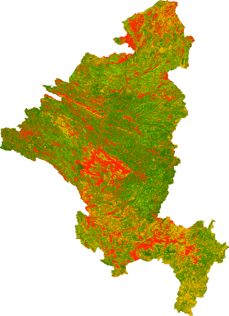
Farmland varies in soil type, moisture, nutrients, and productivity. A GIS survey for agriculture maps these differences, helping farmers identify what to plant, where to plant, and how to manage each part of the field. This data-driven approach replaces guesswork with facts. With GIS, farmers can analyze soil maps, crop history, terrain, and weather patterns, allowing them to optimize fertilizer use, irrigation, and crop selection. The result is higher yield, lower costs, and improved farm efficiency.
Remote Sensing for Smarter Farming:
Large farms are difficult to inspect manually, but remote sensing makes monitoring effortless. Using high resolution satellite images India, drones, and multispectral sensors, farmers can quickly detect:
- Water stress
● Dry zones
● Pest activity
● Plant diseases
● Early yield loss
These insights appear within minutes, allowing fast action. Access to premium datasets from Cartosat / WorldView / Pleiades imagery provider services makes monitoring extremely accurate. Farmers can now easily buy satellite imagery India from leading GIS and remote sensing companies for precision farming.
Soil Mapping for Stronger Crops:
Soil determines crop performance. Soil mapping reveals nutrient levels, salinity, pH, and moisture differences across the land. With this information, farmers can:
- Pinpoint nutrient-poor spots
● Improve irrigation
● Reduce fertilizer waste
● Choose suitable crops for each zone
● Protect long-term soil health
This ensures every part of the field is used at its best.
How Remote Sensing and Soil Mapping Differ:
Instead of a table, think of these tools as two pairs of eyes—each seeing something different. Remote sensing is the eye in the sky. It looks down from satellites and drones to observe crop color, vegetation health, moisture stress, and pest damage. It works quickly and is ideal for monitoring what is happening above the ground.Soil mapping is the eye within the earth. It studies nutrients, soil type, moisture retention, and salinity. It is slower but essential for understanding what lies beneath the surface. Together, they create a complete picture—health above the soil and strength below it.
How GIS Helps Farmers Daily
GIS supports:
- Planting: Find ideal zones for each crop.
● Watering: Monitor moisture and prevent waste.
● Pest Control: Identify hotspots early.
● Soil Care: Track nutrient changes.
● Yield Mapping: Highlight strong and weak zones.
Whether for big or small farms, GIS improves productivity and reduces cost.
Farm Data for Smart Decisions:
GIS combines satellite imagery, soil maps, field history, and climate data to help farmers plan better seasons and predict issues. With data-driven decisions, farms gain higher yield, lower waste, and more resilience to climate change.
Final Thoughts:
Farming’s future is smart and data-driven. With GIS, remote sensing services India, soil mapping, and high-quality imagery from trusted geospatial data providers, farmers can grow more with confidence. Explore what a leading satellite imagery provider in India—including cartosat / WorldView / Pleiades imagery provider options—can do for your farm.