Monitoring Stubble Burning Using Sentinel-2 Satellite Data
Overview
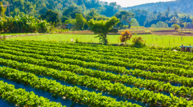
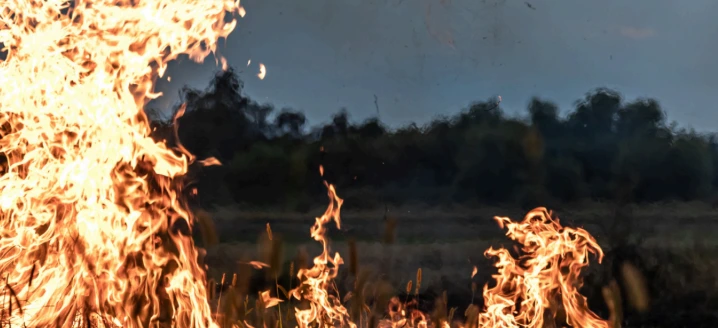
Stubble burning is a recurring environmental issue in northern India, particularly across Punjab, Haryana, and Uttar Pradesh during the October–November harvest period. Farmers often burn leftover crop residue to quickly clear fields for the next sowing season. Although this method is fast and economical, it contributes significantly to air pollution, poses serious health risks, and degrades soil quality over time.
Satellite imagery and geospatial intelligence offer an effective way to monitor and analyse stubble burning activities at scale. By mapping burnt agricultural areas, decision-makers can identify fire hotspots, evaluate environmental impacts, and design data-driven strategies that support cleaner air and more sustainable farming practices.
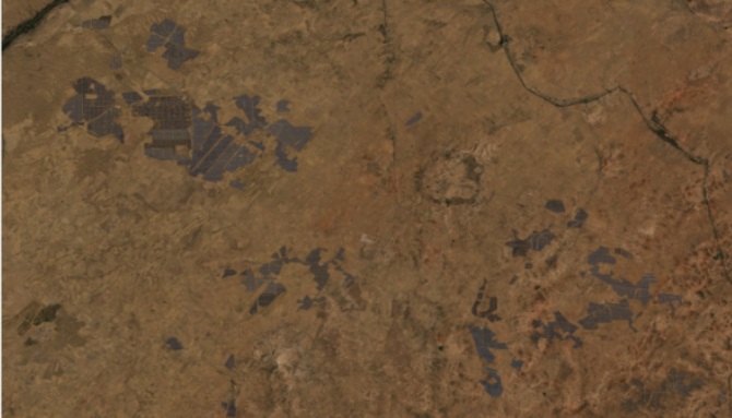
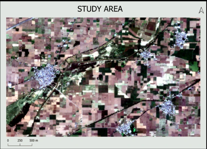
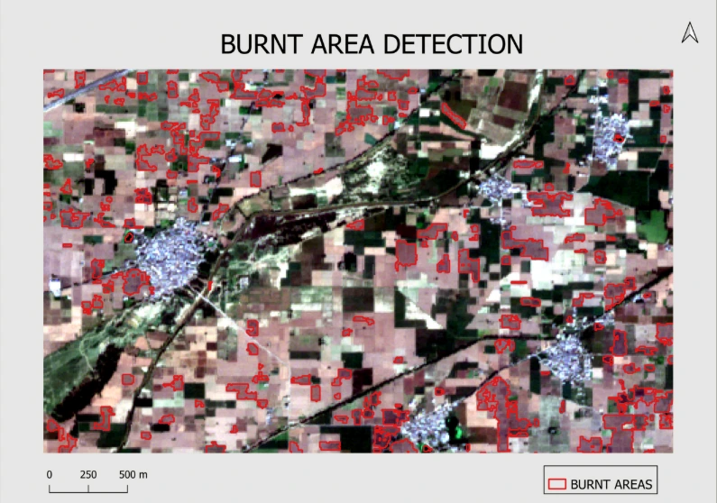
This case study presents the detection and mapping of stubble burning using Sentinel-2 satellite data with a spatial resolution of 10 metres. A semi-automated geospatial workflow was developed to efficiently identify burnt farm plots while minimising manual intervention.
Results
The analysis delivered strong and reliable outcomes. The detection model identified burnt agricultural fields with an accuracy of over 92%, demonstrating the effectiveness of satellite-based monitoring for stubble burning. Within a relatively small study area, more than 300 burnt fields were successfully detected.
The semi-automated workflow enabled faster and more consistent mapping while significantly reducing manual effort. Sentinel-2’s 5-day revisit cycle further supports near-continuous monitoring during the burning season, allowing for timely identification of new incidents.
While the results achieved using Sentinel-2 data are highly effective, incorporating very high-resolution satellite imagery can further improve detection accuracy and provide more precise field-level insights.
Amit Thakur
GIS Engineer