Obstruction Feature Extraction Using High-Resolution Elevation Data
An obstruction is defined as any natural or man-made feature that extends 10 meters or more above the local ground level. To identify and extract above-ground obstruction features (e.g., buildings, towers, Wind turbines, bridges) using high-resolution elevation data for infrastructure planning and spatial analysis.
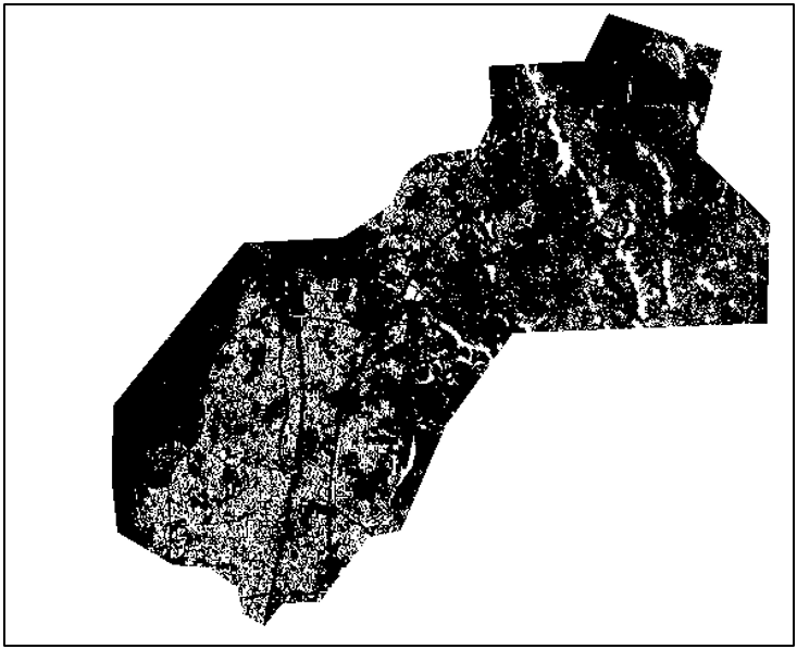
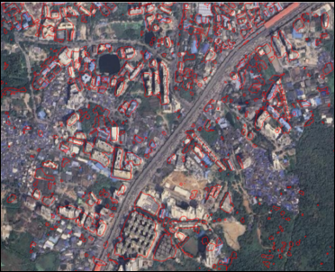
Data Used: Digital Terrain Model (DTM) and Digital Surface Model (DSM)
Resolution: 1m
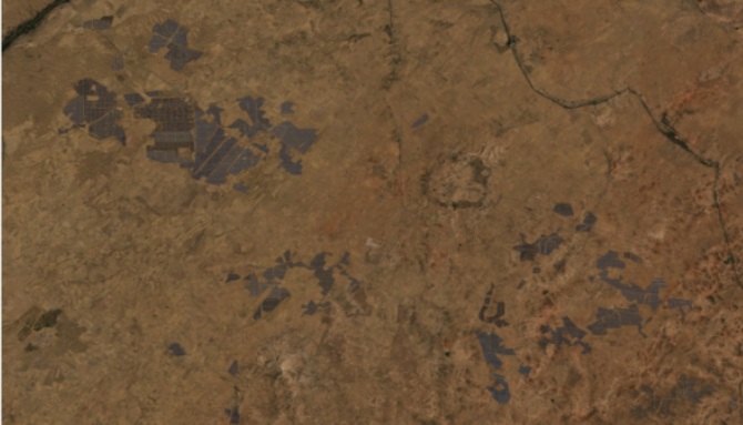
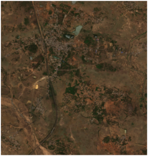
Area of Interest: Mumbai, India
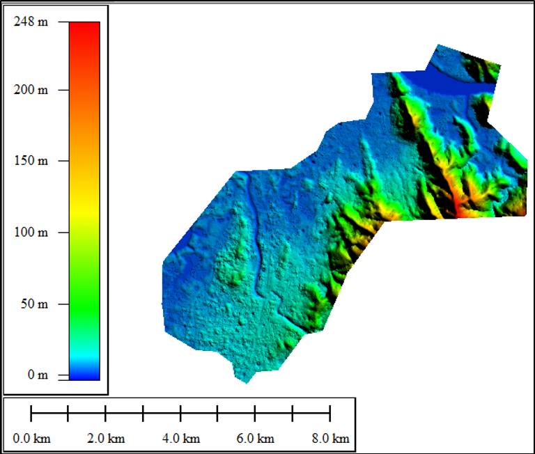
Digital Terrain Model
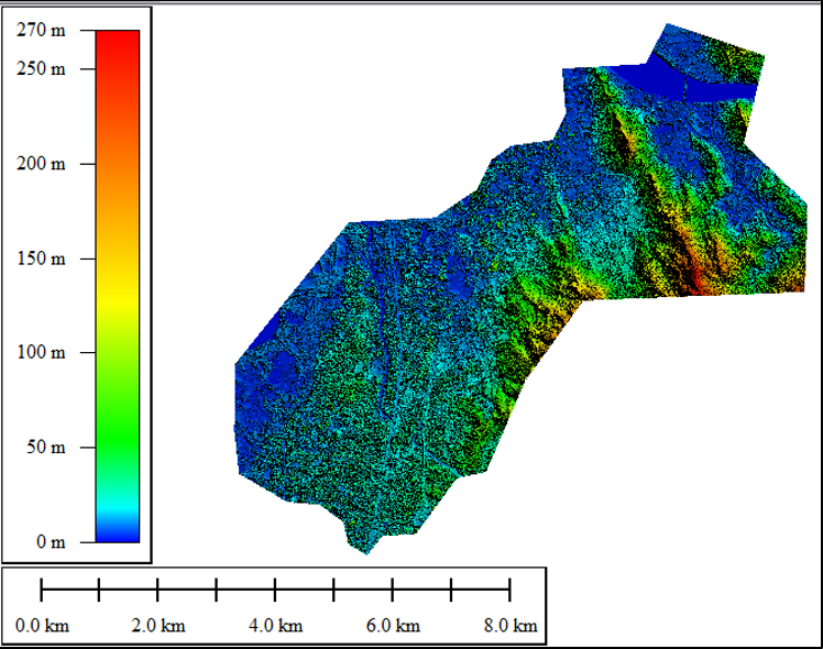
Digital Surface Model
Methodology Workflow:
Data Acquisition: Collect high-resolution DSM and DTM elevation datasets.
Height Normalization: Generate difference height model (DHM):
DHM = DSM − DTM
Threshold-Based Obstruction Detection: Apply height threshold (e.g., >10 m) to identify potential obstruction features.
Feature Extraction: Convert detected obstruction areas into vector polygons.
Post-Processing: Remove noise, refine boundaries, and classify obstruction features.
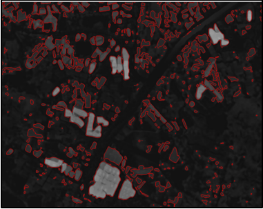
Extracted Obstruction data
Applications:
- Telecom tower planning and line-of-sight analysis
- Aviation obstacle limitation surface (OLS) analysis
- Urban planning, zoning and Infrastructure corridor analysis
- Microwave link path clearance analysis
- Solar and rooftop planning
- Defense and surveillance planning
Amit Thakur
GIS Engineer