Remote Sensing Applications for Earth Observation
Remote Sensing Solutions for Advanced Earth Observation
Remote sensing technology enables organizations to monitor the Earth with unmatched accuracy using satellite imagery, aerial sensors, and geospatial data analytics. By capturing information across optical, radar, hyperspectral, and thermal wavelengths, remote sensing allows detailed analysis of terrain, vegetation, infrastructure, and environmental changes. At Satpalda, we combine earth observation data, GIS analytics, and satellite intelligence platforms to deliver actionable insights for industries such as agriculture, urban planning, disaster management, and resource monitoring. These advanced remote sensing applications support smarter decision-making, improve situational awareness, and provide reliable data for long-term planning and sustainability.
Industry Applications of Remote Sensing
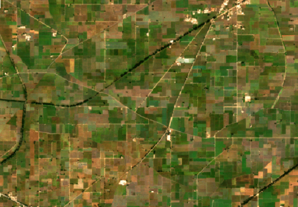
Remote sensing plays a crucial role in precision agriculture and crop monitoring. Satellite imagery and multispectral data help analyze crop health, soil moisture, irrigation efficiency, and vegetation indices. Farmers and agricultural planners can detect stress conditions, predict crop yields, and optimize resource use. These remote sensing insights improve productivity, reduce input costs, and support sustainable farming practices across large agricultural landscapes.
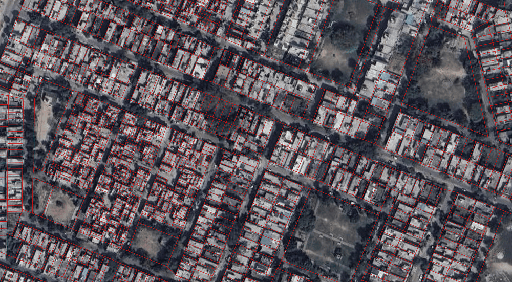
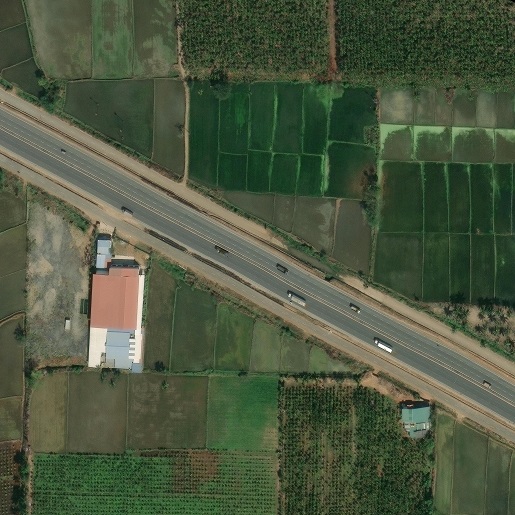
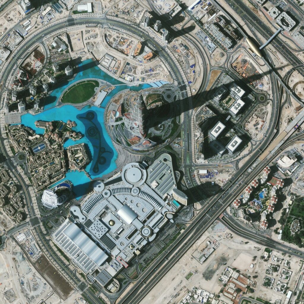
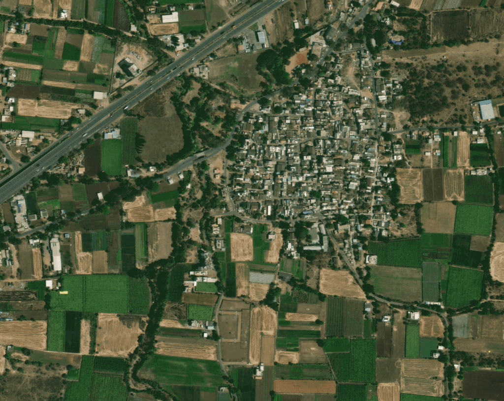
Urban planners use remote sensing data to monitor urban growth, land use changes, infrastructure development, and transportation networks. High-resolution satellite imagery helps detect new construction, map building footprints, and assess infrastructure expansion. By integrating remote sensing with GIS platforms, governments and city planners can support smart city development, optimize land management, and improve long-term urban planning strategies.
Remote sensing plays an important role in water resource management and hydrological monitoring. Satellite imagery and earth observation data help analyze surface water bodies, reservoir levels, watershed dynamics, and floodplains. Using multispectral and radar data, organizations can monitor drought conditions, map flood extents, and track long-term water availability. These remote sensing insights support sustainable water management, irrigation planning, and climate resilience strategies for governments and environmental agencies.
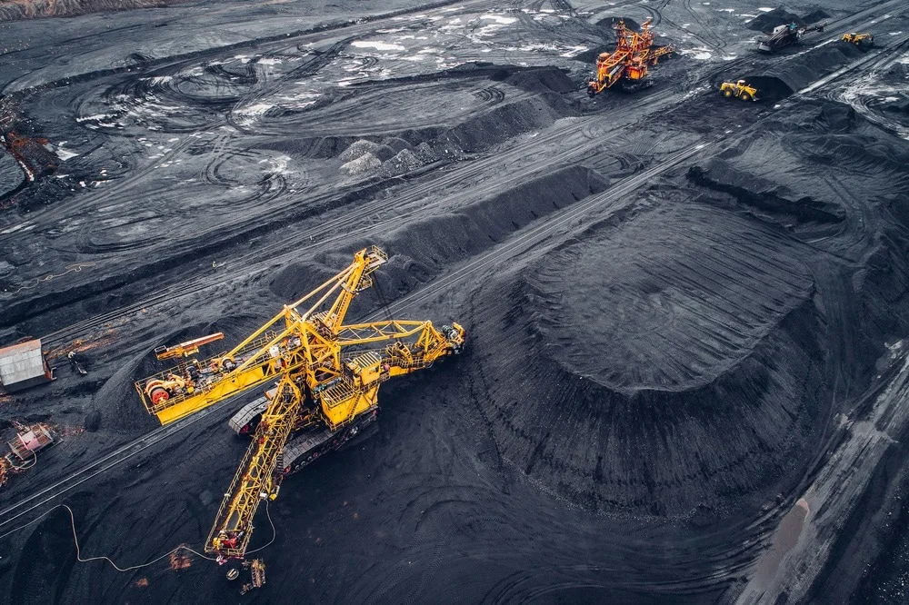
Remote sensing is widely used in mineral exploration, mining monitoring, and resource management. Satellite imagery and terrain models help identify geological formations, detect land deformation, and monitor mining activity over time. These geospatial insights support exploration planning, environmental monitoring, and regulatory compliance while improving operational efficiency in resource extraction industries.
Remote sensing provides rapid situational awareness during natural disasters such as floods, landslides, earthquakes, and wildfires. Satellite imagery enables near real-time monitoring of affected regions, damage assessment, and hazard mapping. Remote sensing combined with GIS helps authorities identify vulnerable areas, plan evacuation routes, and support emergency response operations with reliable geospatial intelligence.
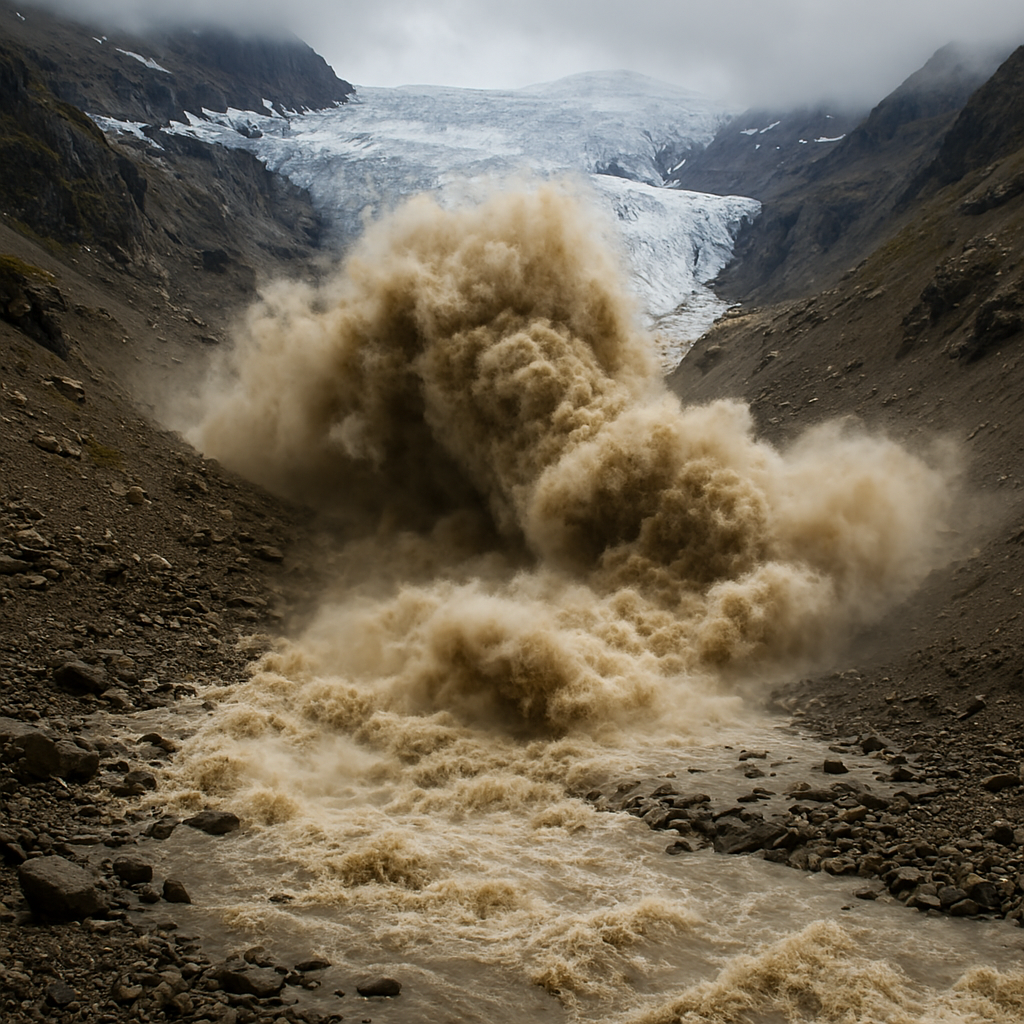
Environmental agencies rely on remote sensing to monitor deforestation, glacier retreat, coastal erosion, and climate change impacts. Time-series satellite imagery helps track long-term environmental trends and ecosystem changes. Remote sensing data supports biodiversity conservation, environmental impact assessments, and sustainable resource management by providing accurate spatial insights into Earth’s dynamic systems.
Types of Remote Sensing Applications
Optical Satellite Remote Sensing
Optical remote sensing uses high-resolution satellite imagery to capture detailed visual information about the Earth’s surface. It is commonly used for land use mapping, infrastructure monitoring, and environmental analysis.
Synthetic Aperture Radar (SAR) Remote Sensing
SAR remote sensing uses radar signals to capture data regardless of weather or lighting conditions. It is widely used for land deformation monitoring, subsidence detection, flood mapping, and maritime surveillance.
Hyperspectral Remote Sensing
Hyperspectral sensors capture hundreds of spectral bands, allowing detailed identification of materials, minerals, vegetation types, and soil conditions. This technology supports advanced environmental and geological analysis
LiDAR Remote Sensing
LiDAR technology uses laser pulses to measure elevation and generate high-accuracy digital elevation models (DEM) and 3D terrain maps. It is widely used in forestry mapping, urban modeling, and infrastructure planning.
Thermal Infrared Remote Sensing
Thermal sensors detect heat radiation emitted from surfaces, enabling applications such as urban heat island analysis, wildfire detection, and water temperature monitoring.
Multispectral Remote Sensing
Multispectral sensors capture data across multiple wavelengths, allowing vegetation analysis, land cover classification, and environmental monitoring through indices such as NDVI.