Satellite Intelligence for Agriculture, Forestry, and Environmental Monitoring
Satellite intelligence has become an essential tool for understanding and managing the Earth’s natural resources. With the help of satellite imagery, remote sensing technologies, and geospatial analysis, governments, environmental agencies, and agricultural organizations can monitor land conditions, track environmental changes, and make informed decisions.
From assessing crop health to detecting deforestation and monitoring climate change impacts, satellite image analysis enables large-scale monitoring that would otherwise be difficult or impossible through traditional ground surveys.
As Earth observation technology advances, satellite intelligence is playing a critical role in supporting sustainable agriculture, forest conservation, and environmental protection worldwide.
Understanding Satellite Intelligence in Environmental Monitoring
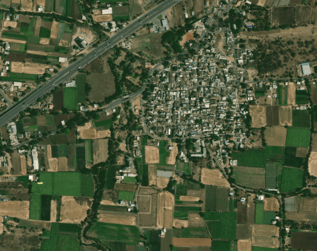
Satellite intelligence refers to the use of Earth observation satellite data to monitor and analyze changes occurring on the planet’s surface. Satellites equipped with optical, multispectral, hyperspectral, and radar sensors capture high-resolution images that reveal patterns related to vegetation, water bodies, soil conditions, and land use.
Through satellite image interpretation and geospatial analysis, experts can detect environmental changes over time, identify risks, and develop strategies to manage natural resources effectively.
This capability is particularly valuable for industries and agencies responsible for agriculture, forestry, and environmental monitoring, where large geographic areas must be observed continuously.
Satellite Intelligence in Agriculture
Agriculture is one of the sectors that benefits the most from satellite imagery and remote sensing technologies. Farmers and agricultural planners rely on satellite image analysis to monitor crop conditions, manage irrigation, and improve productivity.
Crop Health Monitoring
Satellite imagery can detect variations in vegetation health using spectral indices such as NDVI (Normalized Difference Vegetation Index). These indicators reveal crop stress, nutrient deficiencies, or disease before they become visible to the naked eye.
By identifying issues early, farmers can take corrective measures and prevent crop losses.
Precision Agriculture
Satellite data supports precision agriculture, where farmers apply fertilizers, pesticides, and irrigation only where needed. Geospatial analysis helps identify variations within agricultural fields, enabling optimized resource use and reducing environmental impact.
Yield Estimation and Crop Forecasting
Governments and agricultural agencies use satellite imagery to estimate crop yields and forecast production levels. Satellite-based crop monitoring improves food security planning and supports agricultural policy decisions.
Satellite Monitoring in Forestry
Forests play a vital role in maintaining ecological balance, supporting biodiversity, and regulating climate. Satellite intelligence allows forestry departments and environmental organizations to monitor forests efficiently across large regions.
Deforestation Detection
Satellite imagery helps detect illegal logging and deforestation activities. By comparing satellite images over time, analysts can identify changes in forest cover and track areas affected by deforestation.
Early detection enables authorities to respond quickly and enforce conservation regulations.
Forest Health Assessment
Satellite image interpretation allows experts to assess forest health by analyzing vegetation density and growth patterns. Changes in spectral signatures may indicate pest infestations, disease outbreaks, or drought stress.
Monitoring forest health ensures better ecosystem management and supports long-term conservation efforts.
Forest Fire Monitoring
Satellite data plays a crucial role in detecting and tracking forest fires. Thermal sensors onboard satellites can identify fire hotspots and provide real-time information for disaster response teams.
This capability helps authorities control fires more effectively and minimize environmental damage.
Environmental Monitoring with Satellite Data
Beyond agriculture and forestry, satellite intelligence is widely used for environmental monitoring and climate analysis.
Land Use and Land Cover Mapping
Satellite imagery enables accurate land use and land cover (LULC) mapping, which helps planners understand how land resources are being utilized. Governments use this information for urban planning, environmental conservation, and infrastructure development.
Tracking land use changes over time helps identify environmental risks such as urban expansion, habitat loss, and soil degradation.
Water Resource Monitoring
Satellite data allows scientists and policymakers to monitor lakes, rivers, reservoirs, and groundwater conditions. Satellite imagery can track water levels, detect pollution, and analyze seasonal water availability.
This information supports sustainable water resource management and helps address water scarcity challenges.
Climate Change Monitoring
Satellite intelligence is a powerful tool for studying climate change. Earth observation satellites track glaciers, sea-level rise, vegetation changes, and temperature patterns.
These insights help researchers understand environmental trends and develop strategies to mitigate climate change impacts.
The Role of Geospatial Analysis
While satellite imagery provides valuable data, its true power lies in geospatial analysis and GIS integration.
GIS platforms enable analysts to combine satellite data with other datasets such as weather patterns, soil information, and demographic data. This integration creates comprehensive environmental models that support decision-making.
Advanced technologies such as artificial intelligence and machine learning are also improving satellite image processing by automating classification, change detection, and anomaly identification.
These innovations allow organizations to process large volumes of satellite data quickly and extract meaningful insights.
Benefits of Satellite Intelligence
The use of satellite intelligence for agriculture, forestry, and environmental monitoring offers several advantages:
Large-scale monitoring of remote and inaccessible areas
Frequent data updates for near real-time analysis
High accuracy and detailed imagery for precise assessments
Cost-effective monitoring compared to extensive field surveys
Improved decision-making through geospatial analytics
These benefits make satellite data a valuable resource for governments, environmental agencies, research institutions, and private organizations.
The Future of Satellite-Based Environmental Monitoring
The future of satellite intelligence is rapidly evolving with advancements in high-resolution satellites, AI-driven analytics, cloud-based geospatial platforms, and real-time monitoring systems.
New satellite constellations are increasing revisit frequency, allowing analysts to monitor environmental changes almost continuously. At the same time, commercial satellite data providers are making high-quality imagery more accessible to industries and governments worldwide.
As technology advances, satellite intelligence will play an even greater role in ensuring sustainable land management, protecting ecosystems, and supporting global environmental initiatives.
Conclusion
Satellite intelligence is transforming how agriculture, forestry, and environmental monitoring are conducted. By providing accurate, timely, and large-scale insights, satellite imagery and geospatial analysis empower organizations to manage natural resources more effectively.
From monitoring crop health and detecting deforestation to tracking environmental changes and climate impacts, satellite data enables informed decision-making across multiple sectors.
As Earth observation technology continues to evolve, satellite intelligence will remain a critical tool for achieving sustainability, improving resource management, and protecting the planet for future generations.


