SATPALDA provides you clear and timely insight into our changing world. With an array of modern Remote Sensing sensors in its product portfolio SATPALDA provides you with a unique strength that enables you to make positive contribution this planet and humanity. Sensor with disparate specification provide distinctive insight in terrestrial and marine phenomena.
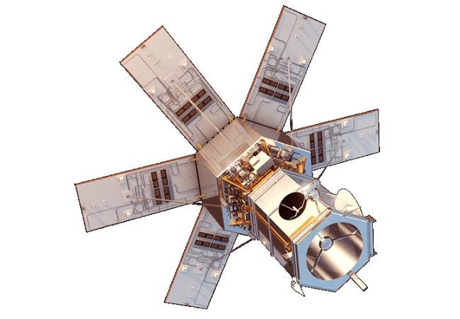
WorldView-1 provides earth imagery at 50 cm spatial resolution. Being a panchromatic (Black & White) sensor, WorldView-1 can acquire very large areas in short period of time. This sensor was launched by DigitalGlobe on September 18, 2007. With an average revisit time of 1.7 days, WorldView-1 is capable of collecting up to 750,000 square kilometers (290,000 sq mi) per day of half-meter imagery.
Download Pdf
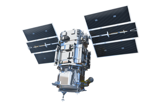
WorldView-2 satellite sensor from DigitalGlobe provides 8-band multispectral imagery. It was launched on October 8, 2009 from Vandenberg Air Force Base on a Delta II rocket to become DigitalGlobe’s third satellite in orbit, joining WorldView-1 which was launched in 2007 and QuickBird which was launched in 2001. It takes a new photograph of any place on Earth every 1.1 days. The overall objective was to meet the growing commercial demand for high-resolution satellite imagery (0.46 m Pan, 1.8 m MS at nadir – representing one of the highest available spaceborne resolutions on the market).
Download Pdf
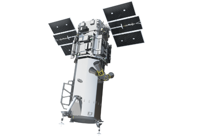
WorldView-3 is the latest satellite sensor from DigitalGlobe. With the addition of this sensor to its satellite constellation (in addition to QuickBird, WorldView-1, GeoEye-1, Ikonos and WorldView-2), DigitalGlobe is capable of collecting ~1 billion square km of Earth imagery per year. DigitalGlobe has added a SWIR (Shortwave Infrared) sensing 8-band instrument to WorldView-3 satellite that will open up a host of new civil and military applications.
WorldView-3 provides 31 cm panchromatic resolution, 1.24 m MS (Multispectral) resolution, 3.7 m SWIR (Short-Wave Infrared) resolution, and 30 m CAVIS ( Clouds, Aerosols, Vapors, Ice, and Snow) resolution. CAVIS will monitor the atmosphere and provide correction data to improve WorldView-3′s imagery when it images earth objects through haze, soot, dust or other atmospheric particles. WorldView-3 builds upon WorldView-2 and WorldView-1 technology by carrying forward the satellites’ advanced Control Moment Gyroscopes (CMGs). CMGs reorient a satellite over the desired collection area in 4-5 seconds, compared to 30-45 seconds needed for traditional reaction wheels (QuickBird e.g.)
Download Pdf
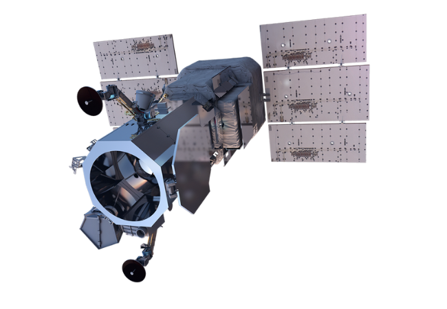
WorldView-4 is the latest Earth observation satellite operated by DigitalGlobe launched on 11th November 2016 from Vandenberg Air Force Base Space Launch Complex 3E. Worldview-4 provides similar imagery as WorldView-3 with the highest resolution of 31cm. It is designed and built by ITT Exelis and Harris having 1.1m in diameter.
WorldView-4 will provide products such as satellite imagery, geometrically corrected products, terrain corrected or ortho-rectified products, stereo pair products and large-area mosaics and feature maps. Advantages of the satellite are high resolution and multi-spectral imagery, remove all the errors such as temporal variation and reducing slew time, precision geo-location possible without ground control points.
Download Pdf


.png)


.png)
.png)


.png)


