.png)


.png)
.png)


.png)


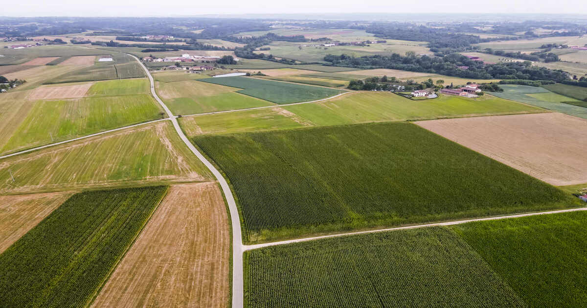
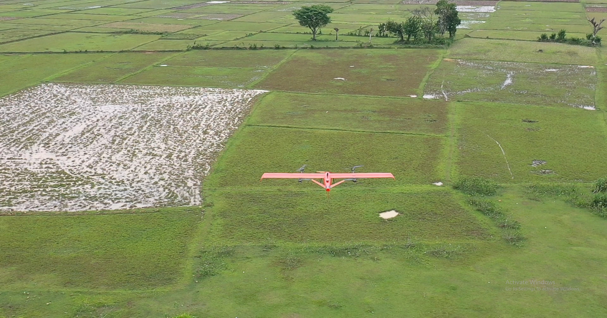
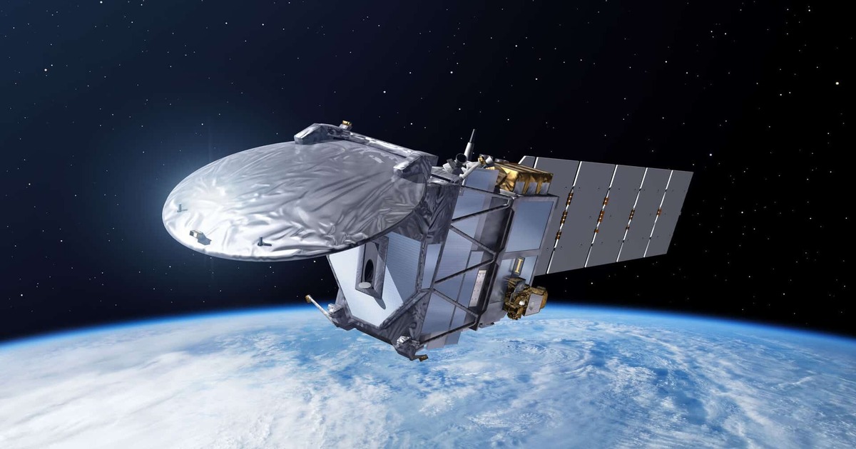
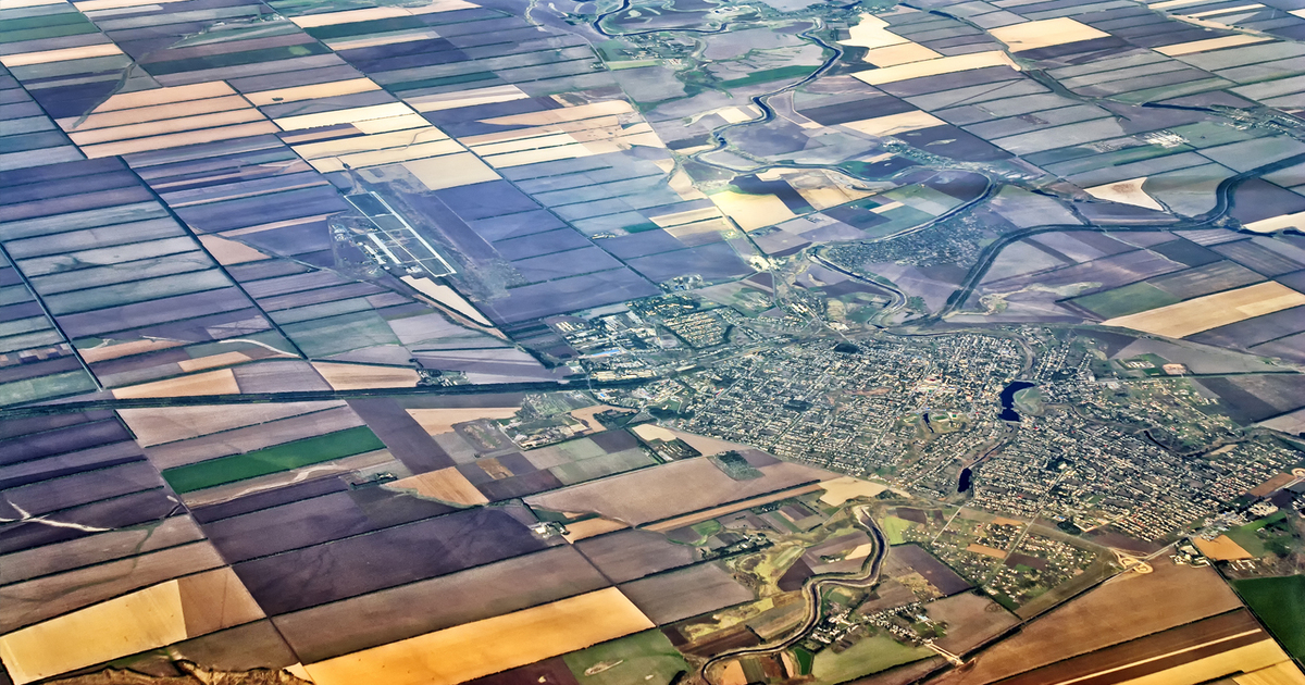
Geospatial technology refers to the use of technology in gathering, analyzing, and interpreting geographic information describing the earth’s surface. The application involves a wide range of tools and techniques for mapping spatial phenomena for analysis to help visualize, measure and understand the relationships of several geographical variables. This application of the technology is wide-ranging and… Continue reading What is Geospatial Technology?