Category: GIS

  • Home
  • Category: GIS

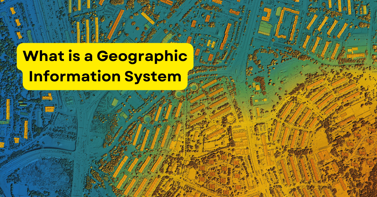
What is a Geographic Information System (GIS)?

what is gis

GIS is a system that goes beyond conventional mapping techniques to acquire, store, manipulate, analyze, manage and present spatial data and it is made up of people, data, software and hardware. Software for data processing, analysis and visualization includes GIS applications; hardware includes GPS receivers and data storage devices. People are users and analysts who… Continue reading What is a Geographic Information System (GIS)?

GIS in Tourism

GIS TOURISM

The tourism sector is dynamic, always looking for new and creative ways to improve visitor experiences and streamline destination administration and Geographic Information Systems (GIS) integration has become a game-changer in recent years, completely altering how tourism is organized, run and enjoyed. In the tourism industry, GIS, a technology that records, examines and makes sense… Continue reading GIS in Tourism

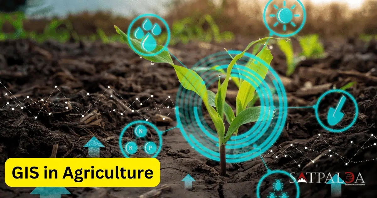
GIS in Agriculture

To make well-informed judgments about farming operations, satellite imagery, geographical data and advanced analytics are integrated using geospatial information systems in agriculture where fundamentally, GIS gives farmers the ability to view, evaluate and comprehend geographic data, facilitating a more accurate and effective method of overseeing agricultural operations. As the agricultural sector undergoes constant change, technology… Continue reading GIS in Agriculture

Published
Categorized as GIS

GIS for Disaster Management

Geographic information system integration has become a vital tool in disaster management in an era where natural disaster frequency and intensity are rising and decision-makers can gain important insights from GIS, a technology that records, evaluates and displays spatial and geographic data when planning for, responding to and recovering from disasters. GIS Applications for Disaster… Continue reading GIS for Disaster Management