


.png)


.png)
.png)


.png)


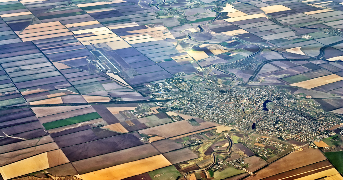
The very high-resolution images captured through aerial platforms like drones, helicopters or aircraft yield geospatial data. These images are overlapped to reconstruct the 2D orthophoto or 3D DEMs. During this process, stereo photogrammetry retrieves accurate geographic information by comparing variations of perspective between overlapping images or more. The use of aerial photogrammetry by the GIS… Continue reading Aerial Photogrammetry