


.png)


.png)
.png)


.png)


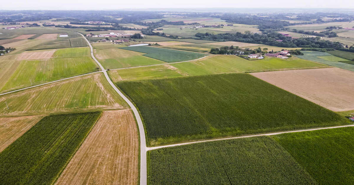
Technological advancement in the application of Geographic Information Systems has transformed agriculture completely over the past decade. In recent times, this has been through agricultural imagery starting from using satellite and drone-based imagery to have a watchful eye on monitoring, managing and optimizing farming activities. Thus, it is through this process that Precision Agriculture Mapping… Continue reading Agricultural Imagery