


.png)


.png)
.png)


.png)


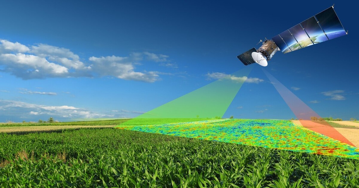
Remote sensing is considered an essential part of the technology in GIS. It has immense capabilities to collect, analyze and interpret data acquired from the Earth’s surface. Technical improvements in satellites, UAVs and ground-based sensors have made remote sensing an integral part of spatial analysis and greatly indispensable within the majority of industries. Environmental Monitoring… Continue reading Application of Remote Sensing