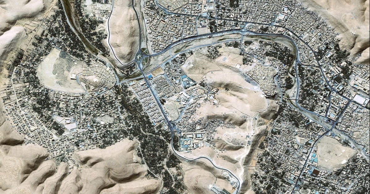
Launched by Space Imaging in 1999, the Ikonos satellite evolved into a ground-breaking tool for remote sensing and Geographic Information Systems (GIS) and as one of the first commercial Earth observation satellites in history, it offered exceptionally precise high-resolution satellite imagery. It was a turning point for the remote sensing and GIS industries enabling experts… Continue reading Ikonos Satellite


.png)


.png)
.png)


.png)


