


.png)


.png)
.png)


.png)


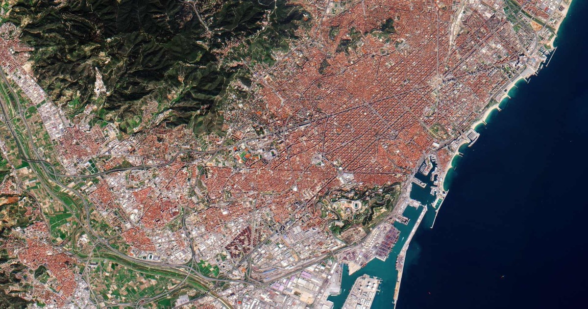
Satellite imagery has become a vital tool in Geographic Information Systems (GIS) for gathering, evaluating, and visualizing spatial data. QuickBird is a notable example of a pioneer in high-resolution commercial satellite imaging among the several satellites with advanced Earth observation technologies. QuickBird was developed to provide imagery with previously unheard-of spatial resolution, enabling in-depth examination… Continue reading Quick Bird Satellite