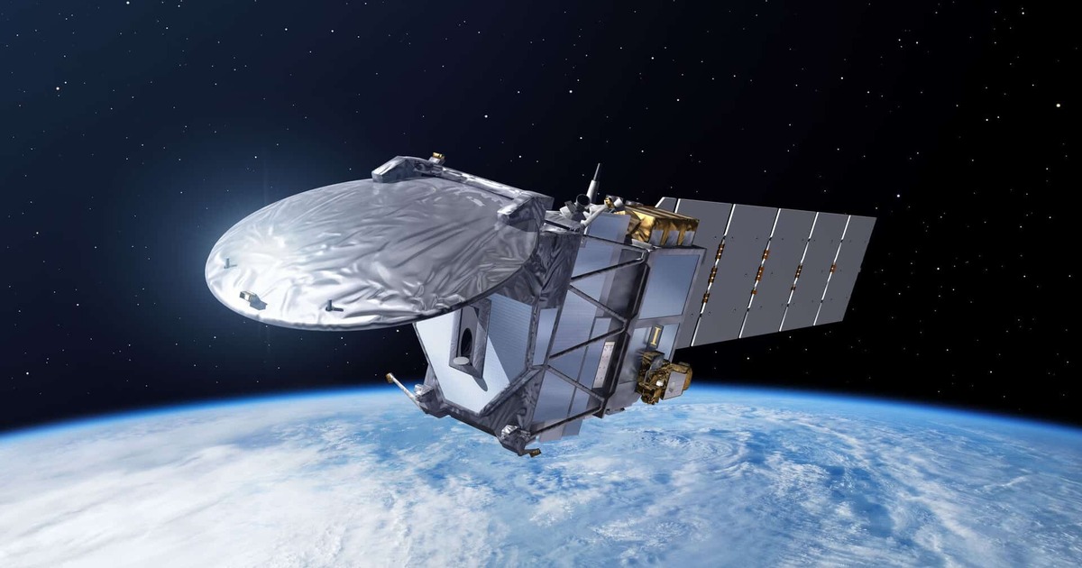
While satellite imagery is often used synonymously with space imaging the latter is a crucial factor in GIS and Earth observation technologies. It can capture images of the Earth’s surface using high-resolution cameras, multispectral sensors as well as satellite-based systems employing radar technology. Such imaging is then found to be of great use to sectors… Continue reading Space Imaging


.png)


.png)
.png)


.png)


