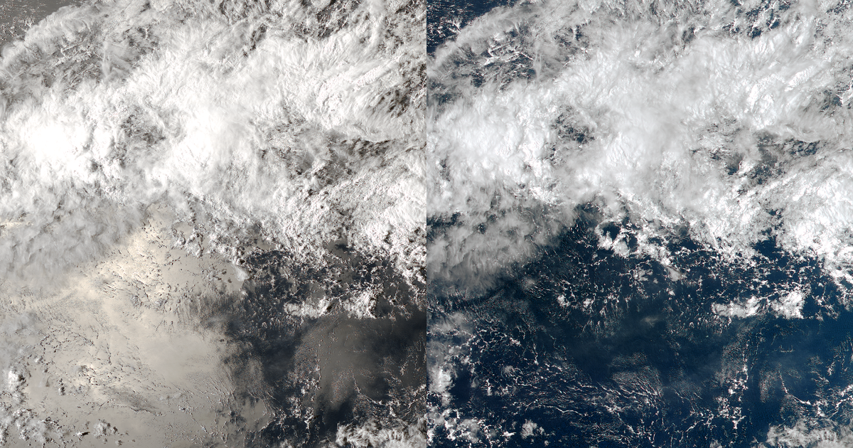
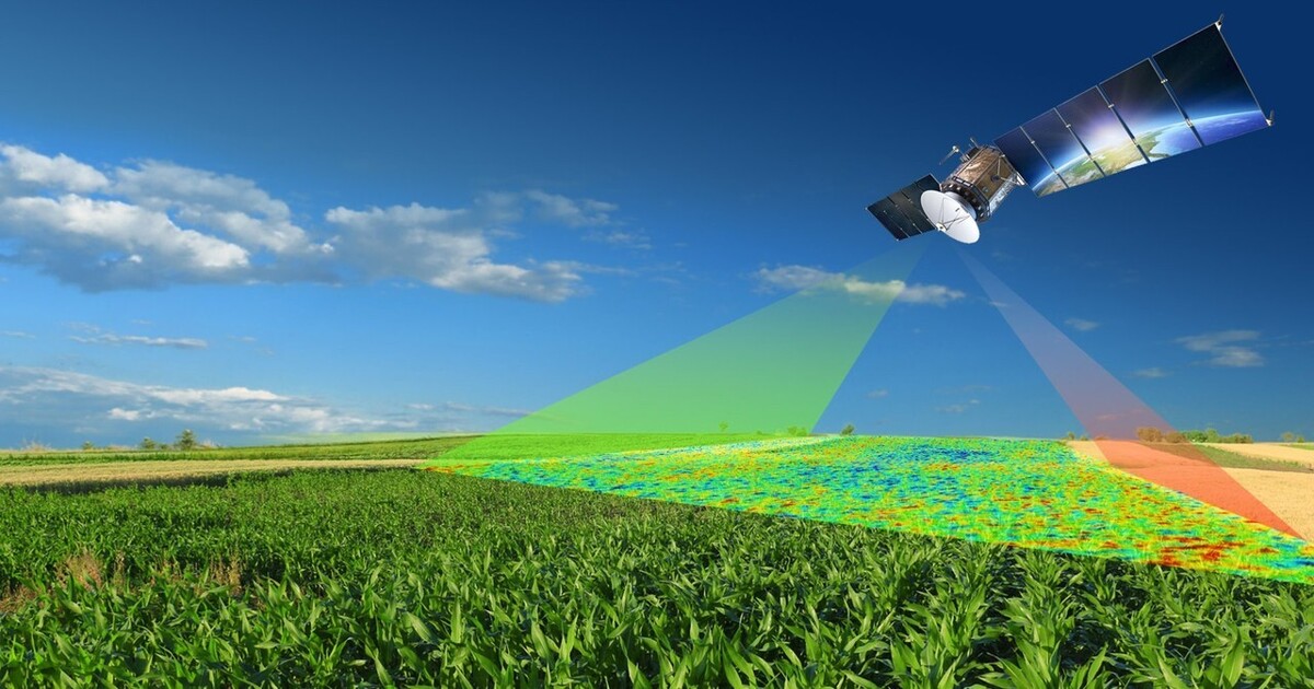
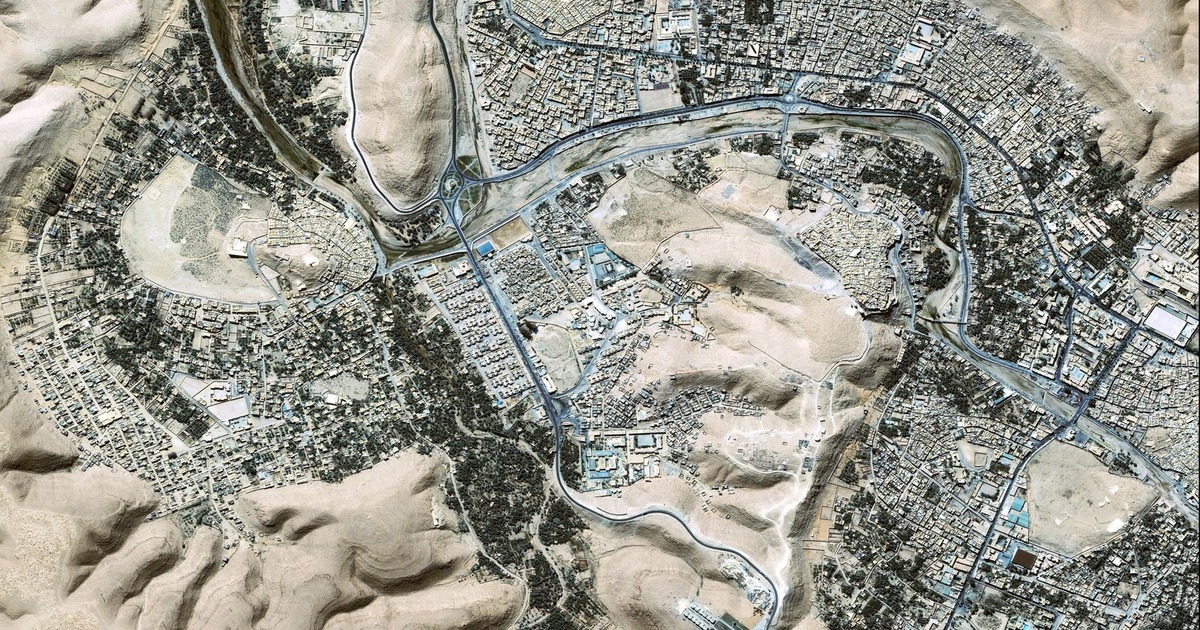
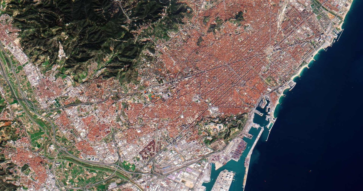
Stereoscopic imagery is the method for enhancing an illusion of three-dimensional (3D) vision by displaying two slightly offset images separately to each eye. This duplicates the binocular vision of humans allowing one to observe depth and spatial relationships. Stereoscopic imagery is used in many applications within GIS such as photogrammetry, topographic mapping and environmental modeling.… Continue reading Stereoscopic Imagery


.png)


.png)
.png)


.png)


