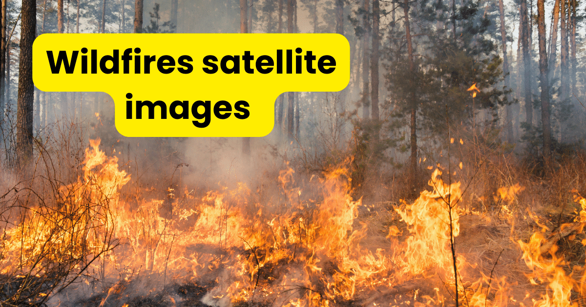
The term “wildfire satellite imagery” describes the visible or infrared photos taken by satellites in Earth’s orbit for the express purpose of identifying and tracking wildfires where these photos offer vital information on the size, intensity and behavior of wildfires facilitating prompt management, mitigation and response actions. Wildfires have become more frequent and intense recently,… Continue reading Wildfire Satellite Imagery


.png)


.png)
.png)


.png)


