Category: Remote Sensing

  • Home
  • Category: Remote Sensing

Land Cover Change Detection

Land Cover Change Detection - SATPALDA

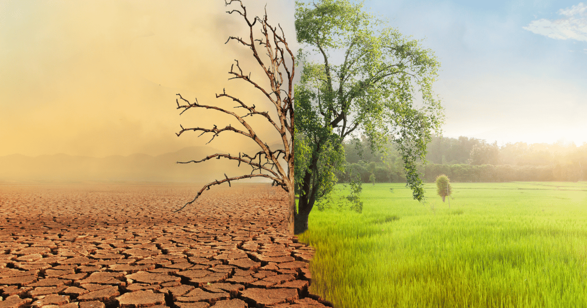
A crucial component of Geographic Information Systems is the detection of changes in land cover which is essential for tracking and comprehending the dynamic character of the Earth’s surface where the detection and examination of changes in the actual physical status of the land cover throughout time are part of this process. To identify, measure… Continue reading Land Cover Change Detection

BLACKSKY

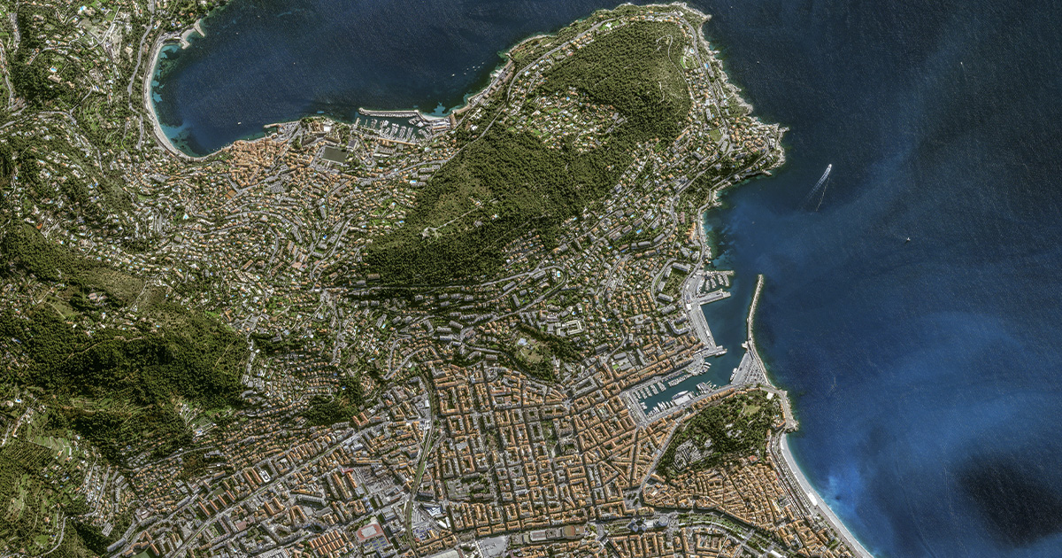
Technological developments are a major factor in how we collect, process, and interpret data in the dynamic field of geospatial intelligence. Blacksky, one of the most recent innovations in the area, redefines the limits of geospatial intelligence by utilizing cutting-edge GIS (Geographic Information System) technology. The complexities of BLACKSKY are examined in this article, along… Continue reading BLACKSKY

AXELSPACE

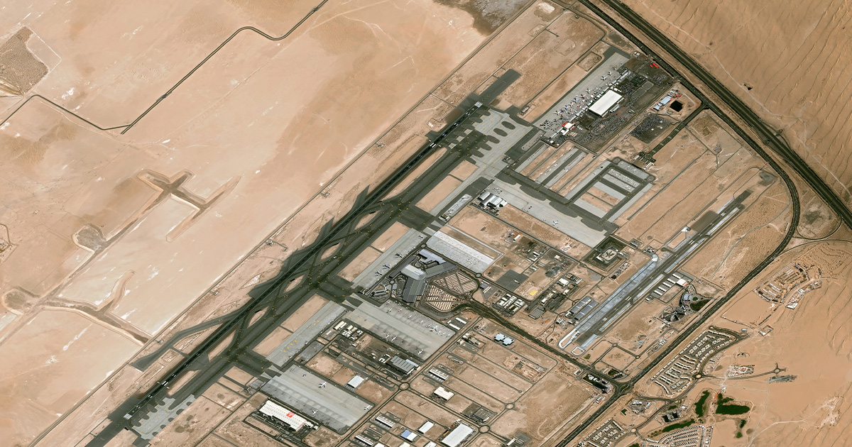
AXELSPACE is a trailblazer in the field of Earth observation, using cutting-edge Geographic Information System (GIS) technology to transform how humans view and engage with our world. This article explores the technical details of AXELSPACE, including its impact on Earth observation, the importance of GIS in the space business, and its technological prowess. The core… Continue reading AXELSPACE

Unearthing the Future: The Vital Role of Remote Sensing and GIS in Mining

Mining has been a cornerstone of human progress for millennia, providing essential resources that power our modern world. However, the extraction of these valuable minerals and ores often comes at a cost, with environmental and safety concerns looming large. As society places increasing emphasis on sustainability, the mining industry finds itself at a crossroads, seeking… Continue reading Unearthing the Future: The Vital Role of Remote Sensing and GIS in Mining