Category: Uncategorized

  • Home
  • Category: Uncategorized

Remote Sensing in Forestry

Remote Sensing in Forestry

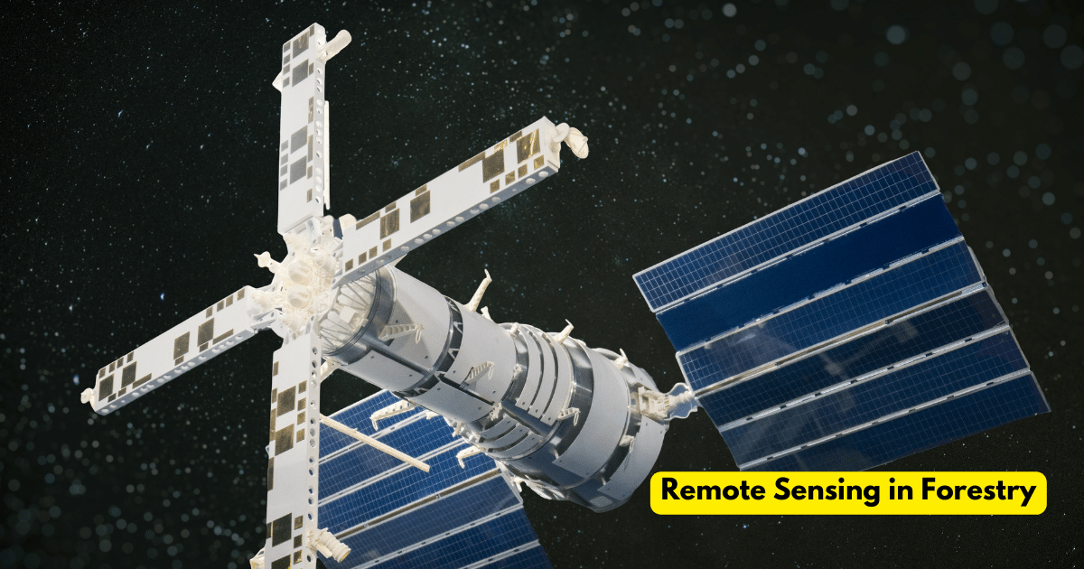
Over time, there has been a major evolution in forestry management with technological improvements being crucial in improving sustainability and efficiency. Remote sensing which uses satellite and aircraft observations to collect data on the Earth’s surface is one such technological miracle. Geographic Information Systems and remote sensing have become indispensable tools for managing, monitoring and… Continue reading Remote Sensing in Forestry

Understanding Topographic Correction

Understanding Topographic Correction

Geographic Information Systems offer a comprehensive framework for geographical analysis and decision-making making them indispensable tools in many industries. However, the effect of terrain on remote sensing data is an important factor that frequently presents difficulties for GIS specialists and this problem is addressed by topographic rectification, a complex GIS procedure that guarantees accurate and… Continue reading Understanding Topographic Correction

GIS for Crime Mapping

In a time of unparalleled technological progress, Geographic Information Systems (GIS) have become immensely useful instruments with a wide range of applications in different fields where crime mapping is one such use that is becoming increasingly popular. The integration of geographical data and pattern analysis capabilities of GIS technology has completely changed the way law… Continue reading GIS for Crime Mapping

Sentinel 2 Imagery

Sentinel-2 comprises a pair of twin satellites, Sentinel-2A and Sentinel-2B that orbit the planet simultaneously and have a five-day revisit period where a Multispectral Instrument (MSI) on these spacecraft collects data in 13 spectral bands spanning from shortwave infrared to visible. The Earth’s surface is fully visible with a spatial resolution ranging from 10 to… Continue reading Sentinel 2 Imagery

Top 10 Free Satellite Imagery Providers

Satellite imagery refers to the visual representation of Earth’s surface captured by imaging satellites orbiting the planet. These satellites utilize various sensors, such as optical and radar, to acquire data in different wavelengths, allowing for a diverse range of applications. In the discipline of Geographic Information Systems, satellite imagery has become a key component that… Continue reading Top 10 Free Satellite Imagery Providers

What is Starlink Satellite?

A vast constellation of tiny satellites called Starlink, formerly the SpaceX Starlink project, is envisioned orbiting the Earth at heights of between 340 and 1,200 kilometers where the principal aim is to establish a dependable and easily obtainable worldwide broadband internet service, particularly in isolated and underprivileged areas. Starlink satellites operate in Low-Earth Orbit (LEO)… Continue reading What is Starlink Satellite?

What is Satellite?

Know What is Satellite? An artificial object purposefully launched into Earth’s orbit for various reasons including data collection, environmental monitoring and communication assistance is referred to as a satellite and for GIS specialists, these orbiting instruments are data sources offering vital information for geographical analysis and decision-making. In the discipline of Geographic Information Systems, satellites… Continue reading What is Satellite?

What Are Satellite Maps?

Satellite Maps Satellite maps, sometimes referred to as satellite imaging or remote sensing data are pictures of the Earth’s surface that are taken by orbiting spacecraft that are outfitted with certain instruments where these sensors record information across a range of electromagnetic spectrum wavelengths enabling the production of intricate and varied maps. Spatial resolution, spectral… Continue reading What Are Satellite Maps?

What Are Satellite Images Used For?

Satellite images are now essential resources that provide a plethora of data and insights in a variety of fields where these satellite-orbiting photographs offer a distinctive viewpoint of the Earth’s surface, facilitating the analysis, interpretation and extraction of important spatial data by experts in the GIS sector. How does Satellite Imaging Work? Satellite imaging is… Continue reading What Are Satellite Images Used For?

Uses of Satellite Images in Geography

The use of satellite images has become a fundamental tool for geographers transforming their perception, analysis and comprehension of the planet’s surface and many uses beyond standard mapping have resulted from the combination of remote sensing and GIS. Remote Sensing: A Symbiotic Relationship Understanding the mutually beneficial link between remote sensing and GIS is essential… Continue reading Uses of Satellite Images in Geography