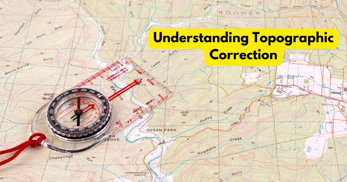
Geographic Information Systems offer a comprehensive framework for geographical analysis and decision-making making them indispensable tools in many industries. However, the effect of terrain on remote sensing data is an important factor that frequently presents difficulties for GIS specialists and this problem is addressed by topographic rectification, a complex GIS procedure that guarantees accurate and… Continue reading Understanding Topographic Correction


.png)


.png)
.png)


.png)


