Our Geospatial Solutions
Satpalda delivers powerful end-to-end geospatial solutions using high-resolution satellite imagery, advanced GIS mapping, and AI-driven geospatial analytics to help organizations see more, act faster, and decide smarter. Our Earth observation and remote sensing intelligence enables governments, planners, and enterprises to monitor assets, analyze environmental risks, optimize operations, and manage resources with unmatched accuracy. Designed for impact, Satpalda’s satellite imagery and geospatial intelligence solutions convert complex spatial data into clear, actionable insights—driving measurable results across industries and giving decision-makers a competitive edge where precision matters most.
Explore the observatory
Explore how Satpalda delivers actionable insights using advanced satellite imagery, GIS mapping, and geospatial analytics for governments, industries, and research organizations worldwide.
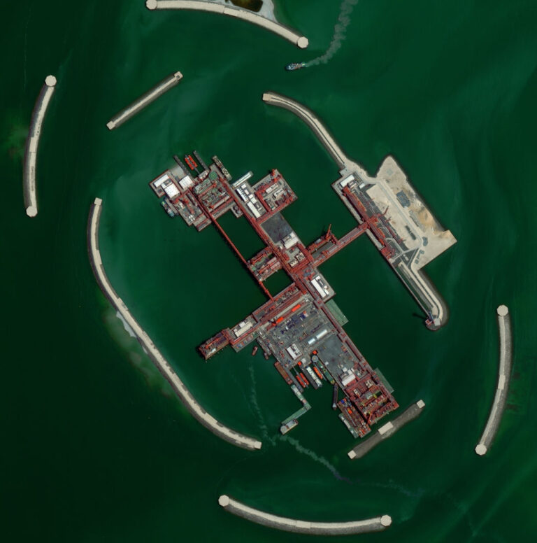
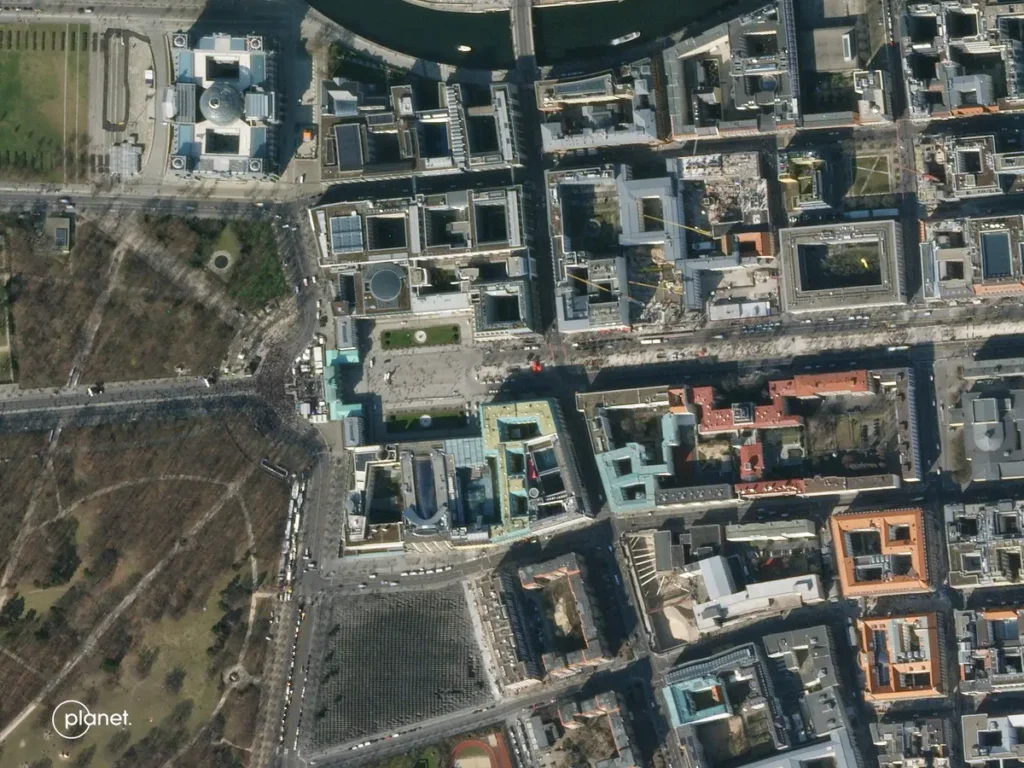
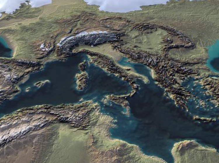
Satellite Imagery
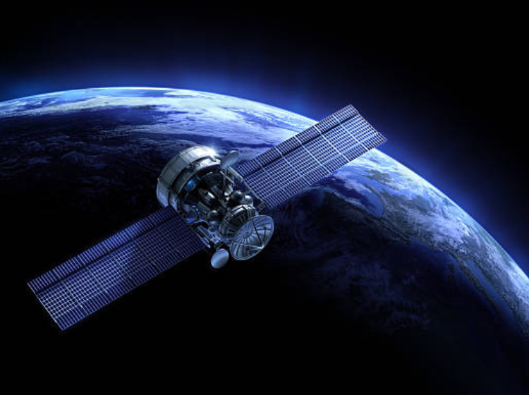
High-resolution satellite imagery for monitoring, mapping, and strategic decision-making
Geospatial Analytics
Transform satellite data into actionable intelligence with AI-driven analytics and reporting.
GIS Mapping Solutions
End-to-end GIS services for urban planning, agriculture, infrastructure, and resource management.
Remote Sensing Applications
Advanced monitoring of environmental changes, natural disasters, and resource management.
Custom Projects / Consulting
Tailored geospatial projects, integration services, and consulting for enterprise-specific requirements.
Software Development

End-to-end software development by SATPALDA, delivering custom applications, GIS-driven platforms, system integration, and scalable digital solutions.
Geospatial Intelligence Across Industries
Satpalda empowers governments, enterprises, and researchers with satellite data and analytics tailored to their industries.
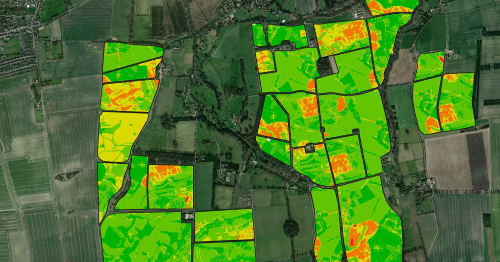
Satpalda delivers advanced geospatial and satellite-based solutions for modern agriculture, enabling data-driven farming and sustainable land management. By leveraging high-resolution satellite imagery, remote sensing, GIS mapping, and geospatial analytics, we help agricultural stakeholders monitor crops, assess soil conditions, and optimize resource utilization. Our solutions support precision agriculture, large-scale farm monitoring, and policy planning for agri-businesses, cooperatives, and government bodies. With accurate earth observation data and actionable insights, Satpalda empowers the agricultural sector to improve productivity, reduce risks, and adapt to changing environmental and climatic conditions.
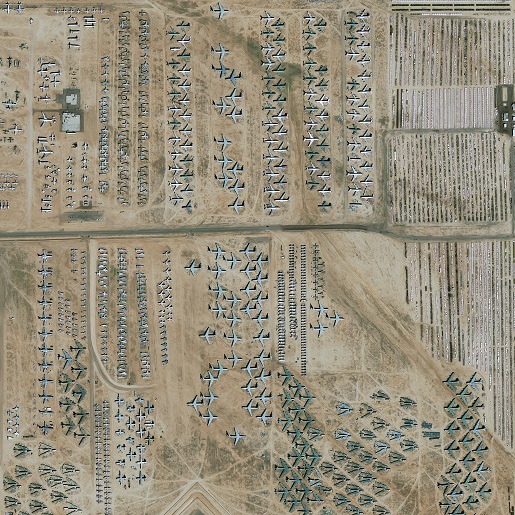
Satpalda supports defence and security operations with advanced geospatial intelligence powered by satellite imagery, GIS, and remote sensing technologies. Our solutions provide accurate situational awareness, terrain intelligence, and monitoring capabilities across land, coastal, and border regions. By integrating high-resolution earth observation data with geospatial analytics, we help defence organizations enhance surveillance, planning, and operational readiness. Satpalda delivers reliable, scalable, and secure geospatial solutions designed to support strategic decision-making in complex and high-risk environments.
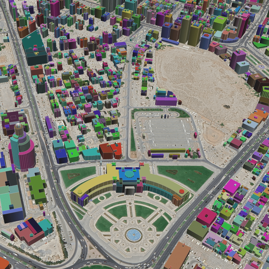
Satpalda delivers advanced geospatial solutions to support smart, sustainable, and data-driven urban development. By leveraging high-resolution satellite imagery, GIS mapping, remote sensing, and geospatial analytics, we help urban planners, municipalities, and infrastructure agencies manage rapid urban growth efficiently. Our solutions provide accurate insights into land use, infrastructure assets, population expansion, and environmental impact. With reliable earth observation data and interactive GIS platforms, Satpalda enables better planning, optimized resource allocation, and informed decision-making for modern cities. We support end-to-end urban intelligence—from master planning and zoning to infrastructure monitoring and smart city initiatives.
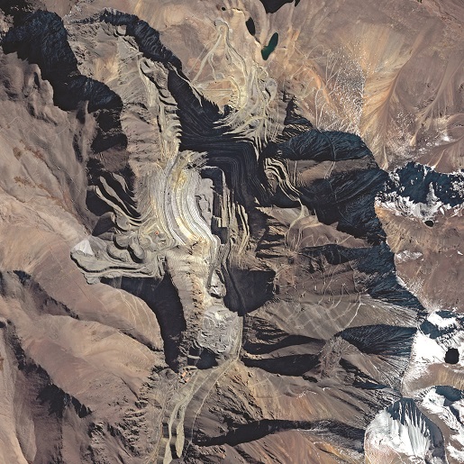
Satpalda provides geospatial and satellite-based solutions to support efficient, safe, and sustainable mining operations. Using high-resolution satellite imagery, GIS mapping, and geospatial analytics, we help mining companies monitor sites, manage resources, and ensure regulatory compliance. Our solutions deliver accurate spatial intelligence across the mining lifecycle—from exploration and planning to operations and environmental monitoring—enabling informed decision-making and operational optimization.
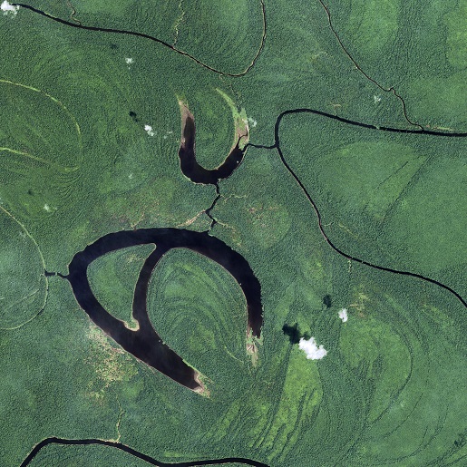
Satpalda delivers advanced geospatial intelligence solutions for environmental monitoring and forestry management using satellite imagery, remote sensing, GIS, and geospatial analytics. Our solutions enable organizations, governments, and conservation agencies to monitor ecosystems, manage natural resources, and ensure environmental compliance at scale. By providing accurate earth observation data and long-term environmental insights, Satpalda supports sustainable development, biodiversity conservation, and climate resilience initiatives. Our technology-driven approach helps stakeholders protect forests, monitor environmental changes, and make informed decisions for responsible resource management.
Years of Experience
Decades of experience in delivering exceptional projects.
Countries Served
Decades of expereince in deleivring exceptional projects.
Projects Completed
I build long-term partnerships through proven results.