Author: Satpalda

  • Home
  • Author: Satpalda

Land Cover Change Detection

Land Cover Change Detection - SATPALDA

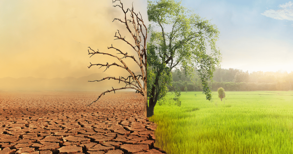
A crucial component of Geographic Information Systems is the detection of changes in land cover which is essential for tracking and comprehending the dynamic character of the Earth’s surface where the detection and examination of changes in the actual physical status of the land cover throughout time are part of this process. To identify, measure… Continue reading Land Cover Change Detection

What is a Geographic Information System (GIS)?

what is gis

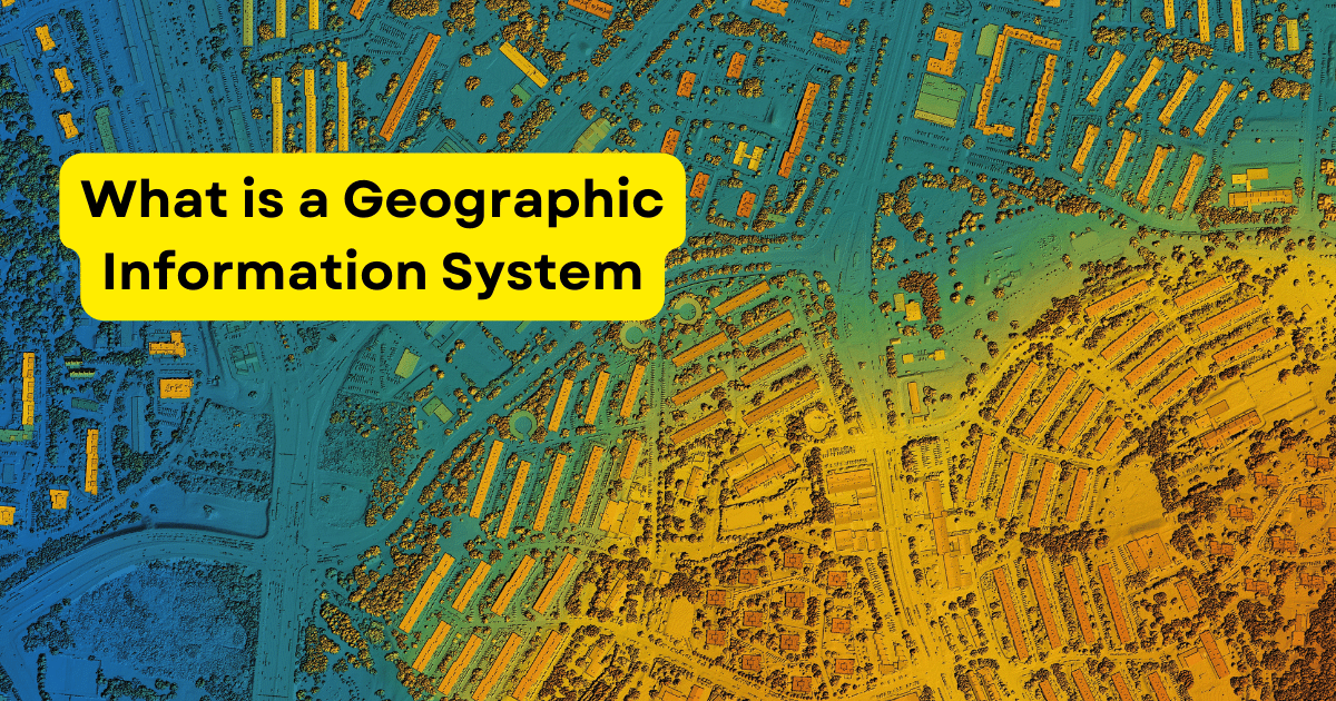
GIS is a system that goes beyond conventional mapping techniques to acquire, store, manipulate, analyze, manage and present spatial data and it is made up of people, data, software and hardware. Software for data processing, analysis and visualization includes GIS applications; hardware includes GPS receivers and data storage devices. People are users and analysts who… Continue reading What is a Geographic Information System (GIS)?

GIS in Tourism

GIS TOURISM

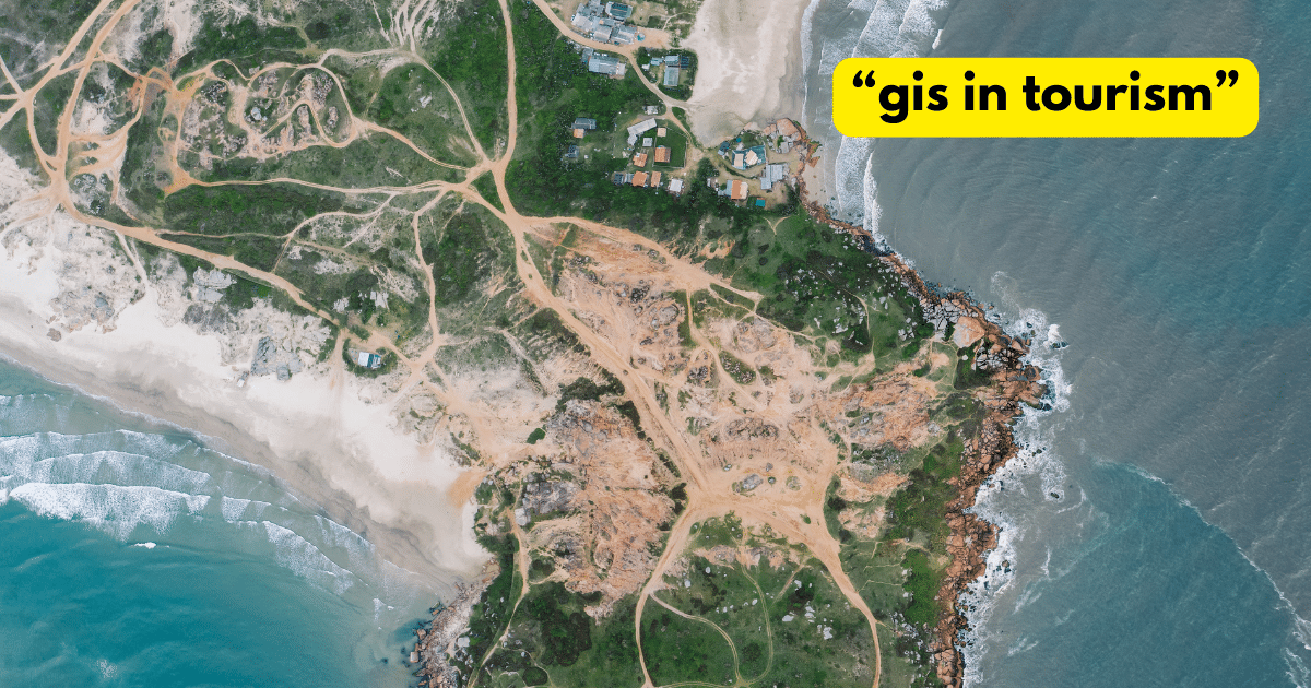
The tourism sector is dynamic, always looking for new and creative ways to improve visitor experiences and streamline destination administration and Geographic Information Systems (GIS) integration has become a game-changer in recent years, completely altering how tourism is organized, run and enjoyed. In the tourism industry, GIS, a technology that records, examines and makes sense… Continue reading GIS in Tourism

Remote Sensing in Forestry

Remote Sensing in Forestry

Over time, there has been a major evolution in forestry management with technological improvements being crucial in improving sustainability and efficiency. Remote sensing which uses satellite and aircraft observations to collect data on the Earth’s surface is one such technological miracle. Geographic Information Systems and remote sensing have become indispensable tools for managing, monitoring and… Continue reading Remote Sensing in Forestry

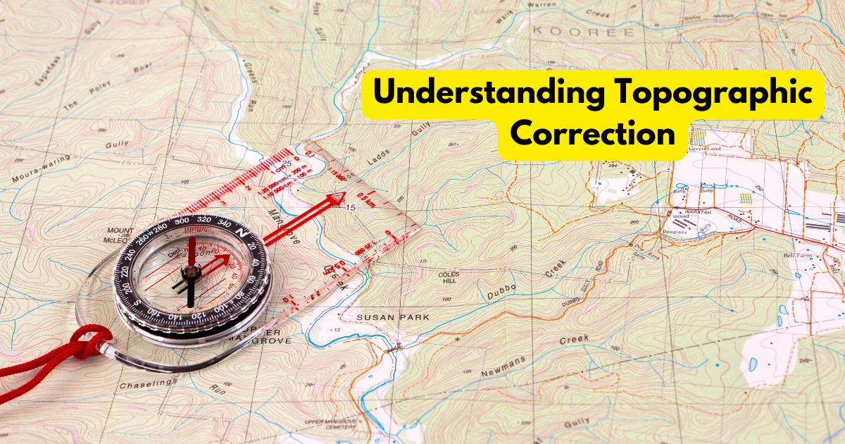
Understanding Topographic Correction

Understanding Topographic Correction

Geographic Information Systems offer a comprehensive framework for geographical analysis and decision-making making them indispensable tools in many industries. However, the effect of terrain on remote sensing data is an important factor that frequently presents difficulties for GIS specialists and this problem is addressed by topographic rectification, a complex GIS procedure that guarantees accurate and… Continue reading Understanding Topographic Correction

GIS in Agriculture

To make well-informed judgments about farming operations, satellite imagery, geographical data and advanced analytics are integrated using geospatial information systems in agriculture where fundamentally, GIS gives farmers the ability to view, evaluate and comprehend geographic data, facilitating a more accurate and effective method of overseeing agricultural operations. As the agricultural sector undergoes constant change, technology… Continue reading GIS in Agriculture

Published
Categorized as GIS

GIS for Disaster Management

Geographic information system integration has become a vital tool in disaster management in an era where natural disaster frequency and intensity are rising and decision-makers can gain important insights from GIS, a technology that records, evaluates and displays spatial and geographic data when planning for, responding to and recovering from disasters. GIS Applications for Disaster… Continue reading GIS for Disaster Management

Published
Categorized as GIS Tagged

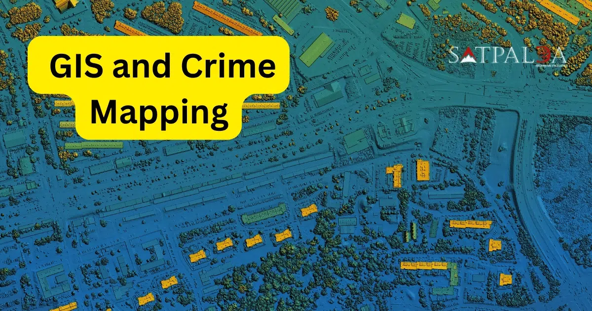
GIS for Crime Mapping

In a time of unparalleled technological progress, Geographic Information Systems (GIS) have become immensely useful instruments with a wide range of applications in different fields where crime mapping is one such use that is becoming increasingly popular. The integration of geographical data and pattern analysis capabilities of GIS technology has completely changed the way law… Continue reading GIS for Crime Mapping

Sentinel 2 Imagery

Sentinel-2 comprises a pair of twin satellites, Sentinel-2A and Sentinel-2B that orbit the planet simultaneously and have a five-day revisit period where a Multispectral Instrument (MSI) on these spacecraft collects data in 13 spectral bands spanning from shortwave infrared to visible. The Earth’s surface is fully visible with a spatial resolution ranging from 10 to… Continue reading Sentinel 2 Imagery

Top 10 Free Satellite Imagery Providers

Satellite imagery refers to the visual representation of Earth’s surface captured by imaging satellites orbiting the planet. These satellites utilize various sensors, such as optical and radar, to acquire data in different wavelengths, allowing for a diverse range of applications. In the discipline of Geographic Information Systems, satellite imagery has become a key component that… Continue reading Top 10 Free Satellite Imagery Providers