Author: Satpalda

  • Home
  • Author: Satpalda

Wildfire Satellite Imagery

Wildfires satellite images

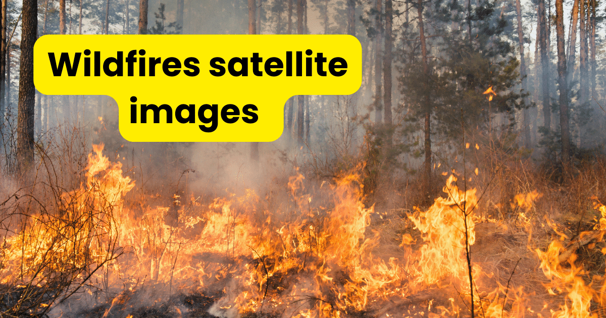
The term “wildfire satellite imagery” describes the visible or infrared photos taken by satellites in Earth’s orbit for the express purpose of identifying and tracking wildfires where these photos offer vital information on the size, intensity and behavior of wildfires facilitating prompt management, mitigation and response actions. Wildfires have become more frequent and intense recently,… Continue reading Wildfire Satellite Imagery

Synthetic Aperture Radar

Synthetic Aperture Radar

Using microwave radiation, Synthetic Aperture Radar is an advanced active remote sensing method that produces high-resolution photographs of the Earth’s surface where SAR can see through clouds, foliage and even complete darkness since it operates in the microwave region of the electromagnetic spectrum unlike optical sensors. The fundamental idea of SAR is its capacity to… Continue reading Synthetic Aperture Radar

Optical Imagery

Optical Imagery

Optical imagery is a fundamental tool in Geographic Information Systems that helps us comprehend, analyze and visualize the surface of our world where optical imaging, sometimes referred to as remote sensing imagery, is the process of gathering and analyzing information obtained by electromagnetic radiation in the visible, near-infrared and shortwave-infrared spectrums. This advanced technology has… Continue reading Optical Imagery

LiDAR Survey

LiDAR Survey: Revolutionizing Mapping - SATPALDA

LiDAR technology measures the distances to the Earth’s surface by using laser pulses released from an aerial or terrestrial platform where precise measurement of elevation, features of the terrain and attributes of objects is made possible by these laser pulses that reflect off things and return to the sensor. Millions of data points are recorded… Continue reading LiDAR Survey

Geo Data Science

Geo Data Science

Geo Data Science uses a variety of analytical techniques to extract useful knowledge from geospatial data which is information associated with particular geographic places and this comprises of processing, analyzing and visualizing spatial data through the use of data science techniques, geographical information systems (GIS) and remote sensing technology. Geo Data Science facilitates the extraction… Continue reading Geo Data Science

Spatial Data Science

Spatial Data Science

The core of spatial data science is the application of geographical data to produce insightful analysis and decision-making where a vast range of information related to physical locations is included in geospatial data such as GPS coordinates, land use patterns, demographic information, satellite imaging and more. Analysts can capture the spatial correlations and patterns present… Continue reading Spatial Data Science

Deforestation Remote Sensing and Monitoring

deforestation remote sensing

Deforestation remains one of the most pressing environmental issues of our time with widespread implications for biodiversity loss, climate change and socio-economic stability where effective monitoring and control techniques are desperately needed as the rate of deforestation increases on a worldwide scale. When combined with Geographic Information Systems technology, remote sensing has become an effective… Continue reading Deforestation Remote Sensing and Monitoring

Forest Cover Monitoring

forest cover monitoring

Monitoring the amount of forest cover is essential to global environmental management and conservation initiatives. Accurate and effective techniques for monitoring and managing wooded regions are becoming more and more necessary as concerns over deforestation, habitat loss, and climate change develop. In this sense, Geographic Information System technology has become an effective tool, providing several… Continue reading Forest Cover Monitoring

Crop Yield Prediction

Crop Yield Prediction

Crop yield prediction refers to the estimation of the amount of produce that a particular agricultural parcel or region is expected to yield during a given growing season. For several agricultural industry stakeholders, including farmers, legislators, researchers, and commodities merchants, this projection is essential. Farmers can plan their irrigation schedules, apply fertilizer, control pests, and… Continue reading Crop Yield Prediction

3D Urban Modelling

3d urban modeling

A complex GIS method called 3D urban modelling entails building, visualizing and analyzing three-dimensional depictions of urban settings where it creates precise and lifelike cityscape models by utilizing sophisticated algorithms, satellite photos and spatial data. Urban planners, architects and legislators can now imagine, design and manage cities more intelligently and holistically thanks to the development… Continue reading 3D Urban Modelling