


.png)


.png)
.png)


.png)


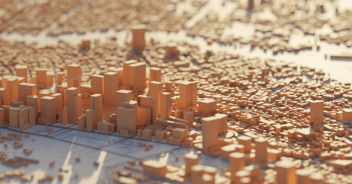
A complex GIS method called 3D urban modelling entails building, visualizing and analyzing three-dimensional depictions of urban settings where it creates precise and lifelike cityscape models by utilizing sophisticated algorithms, satellite photos and spatial data. Urban planners, architects and legislators can now imagine, design and manage cities more intelligently and holistically thanks to the development… Continue reading 3D Urban Modelling
