Category: Uncategorized

  • Home
  • Category: Uncategorized

Importance of Satellite Images

Satellite imagery provides an aerial perspective of the Earth’s surface and is a fundamental component of GIS where these photos are obtained by satellites with sophisticated sensors that can record information at different wavelengths. Different forms of imaging such as panchromatic, multispectral and hyperspectral are categorized to meet different analytical purposes. The capacity to gather,… Continue reading Importance of Satellite Images

Applications of Satellite Imagery

The term “satellite imagery” describes the non-visual or visible data gathered by Earth observation satellites as they orbit the planet and with the use of sensors that record electromagnetic radiation at visible, infrared and microwave wavelengths, these satellites can provide a thorough picture of the surface of the planet. The main objective of obtaining satellite… Continue reading Applications of Satellite Imagery

MAXAR Imagery

There has been an exponential increase in the need for reliable and high-resolution satellite images in the dynamic Geographic Information Systems field and with its cutting-edge capabilities for Earth observation, MAXAR a major player in the satellite imagery market has made a name for itself. The technical nuances of MAXAR imagery are explored in this… Continue reading MAXAR Imagery

Change Detection: Uncovering Transformations Through High-Resolution Satellite Imagery

In an ever-evolving world, the ability to monitor and analyze changes across various domains is of paramount importance. From tracking environmental transformations to managing urban growth and responding swiftly to disasters, change detection plays a crucial role, and its significance lies in its capacity to uncover shifts, trends, and anomalies that offer critical insights for… Continue reading Change Detection: Uncovering Transformations Through High-Resolution Satellite Imagery

Unveiling the World of 3D Landscapes: Creating Realism Digitally

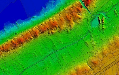
In today’s digital age, the realm of creative possibilities knows no bounds. It’s a time when innovation and imagination harmonize to fashion real-like virtual worlds that blur the lines between fiction and reality. One such captivating realm is that of 3D landscapes, where a mere glance at the screen transports you to breathtaking natural vistas,… Continue reading Unveiling the World of 3D Landscapes: Creating Realism Digitally

DigitalGlobe joins hands with Uber

Uber will soon deploy DigitalGlobe`s high-resolution imagery to improve its pickup and drop facilities. DG has entered into a multiyear global partnership with Uber to supply the company with high-resolution satellite imagery. Over the past few years transportation app like Uber has revolutionized the cab experience, making the experience as simple and comforting as possible.… Continue reading DigitalGlobe joins hands with Uber

Significance of Land Use / Land Cover (LULC) Maps

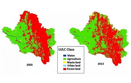
Introduction Land Use Land Cover (LULC) Maps The terms land use and land cover are often used interchangeably, but each term has its own unique meaning. Land cover refers to the surface cover on the ground like vegetation, urban infrastructure, water, bare soil etc. Identification of land cover establishes the baseline information for activities like… Continue reading Significance of Land Use / Land Cover (LULC) Maps

Planimetric Mapping

The ‘smart’ revolution. We are living in a generation where most common and important word is ‘smart’. From smart people to smart phones and from smart maps to smart cities everything is getting smarter. Geospatial technology is progressing by leaps and bounds towards this smartness. The technology itself is getting smarter and contributing in other… Continue reading Planimetric Mapping

GIS In Civil Engineering Applications

The field of civil engineering has come a long way. One type of technology that aids modern civil engineers is geographic information systems (GIS). GIS can be used by engineers to collect and analyze geographic data. The data can then be displayed in layered visualizations using digital geographic maps. GIS (geographic information system) software analyses,… Continue reading GIS In Civil Engineering Applications